Choose GIS & MAPPING, a geographic approach for integrated actions
Mapping supports the concept “understanding precedes action”
Maps give us crucial informations because they are both analytical and artistic.They are charming and have universal communicative power. They give shape and clarity to things and to the world.
The digital maps of Geographic Information System (GIS) are dynamic and interactive. GIS maps, if shared on the web:
- Become strategic tool that should be used with ability and competence.
- Allow to perform geographic analysis. The geographic approach is often the best way to answer complex questions.
- Help to better organize mountains of data: it may seem like a contradiction, but sometimes comparing thousands of individual data allows to bring out a more coherent image of reality, which is difficult to see other ways. Adding details helps to have a full overview, making reality clearer.
- Allow to collaborate and share data, analysis and patterns or information.
Mapping the Territory for a Knowledge-Based System
Knowledge of the territory: acquire, visualize, analyze and archive spatial and contextual data in such areas like environmental, productive, social and infrastructural.
Stakeholder Mapping and Management
A better view of the stakeholders: mapping is an important step to understanding who your stakeholders are, where they come from, what do they do, what do they have and what are they looking for in relationship to your business.
Solving Spatial Problems Using GIS
Finding solutions to spatial problems: when using a geographic approach follow some steps in to solve spatial problems like ask questions, calculate, interpret, decide, communicate etc.
Spatial analysis and GIS
This type of analysis is the most engaging aspect of GIS. Formulating the right question is the key to identifying the tools and the type of analysis to be used to obtain a meaningful response. Take into consideration that GIS helps you to make informed decisions, but does not decide for you!
Spatial analysis is useful for evaluating the suitability, estimation and forecast, if the interpretation of data is carried out with the necessary competence and experience. Being able to better understand your data should help you make appropriate decisions about your analysis and anticipate how your choices will impact on results.
The use of spatial analysis makes possible to combine information from many different sources. It is also possible to deduce new information by applying a sophisticated set of spatial operators. This vast collection of spatial analysis tools increase your options to have answers to your questions.
Spatial analysis is used by people all over the world to get new information and make informed decisions about:
- Transportation
- Water quality
- Public health
- Urban planning
- Storage
What kind of data can you collect?
- Descriptive statistics
- Queries
- Spatial relations
- Spatial patterns.
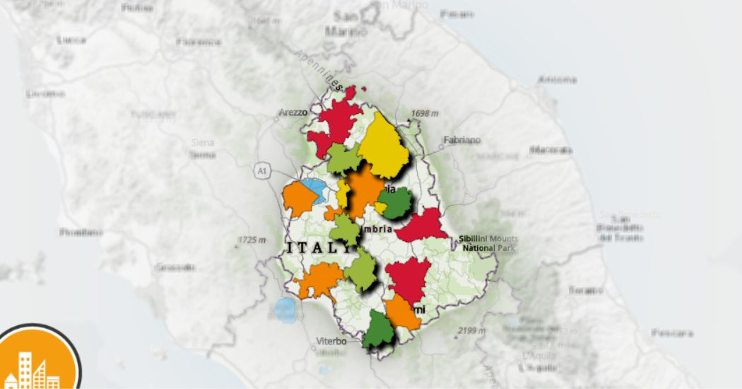
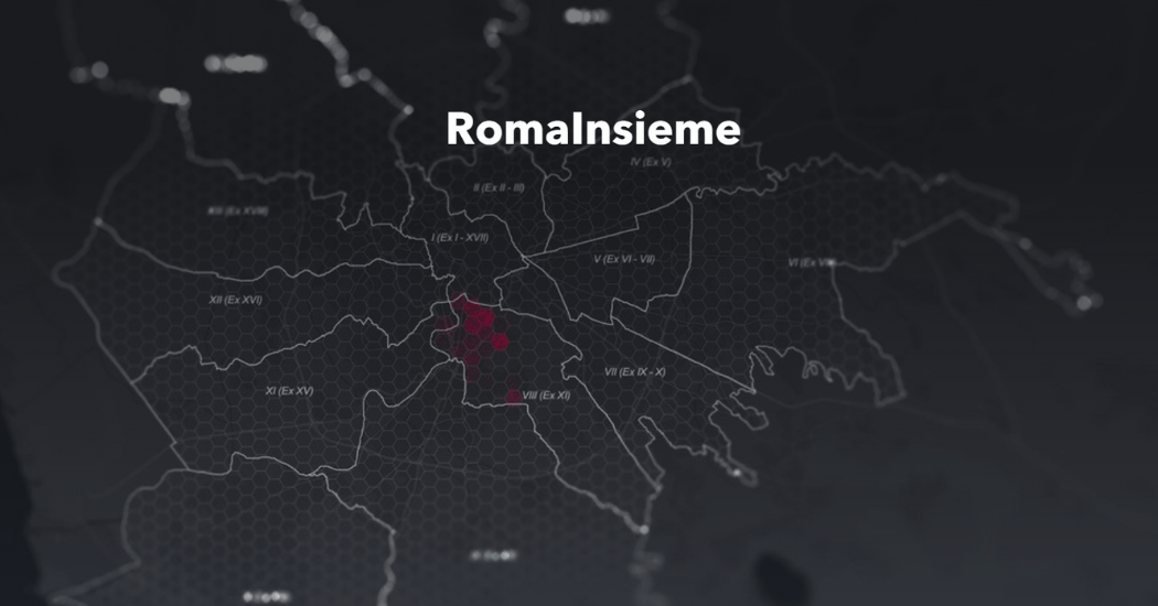
Map of the Week
The MoW | the Map of the Week is a project that aims to implement web applications on current events.
In this way GisAction proposes collections of current news from the territory, national or international, told through their geographical data, and made available through the Esri platforms.