Assess performance and enhance data and knowledge
The development process involves countless participants and all of them generate information and data.
How to enhance them?
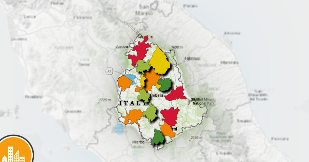
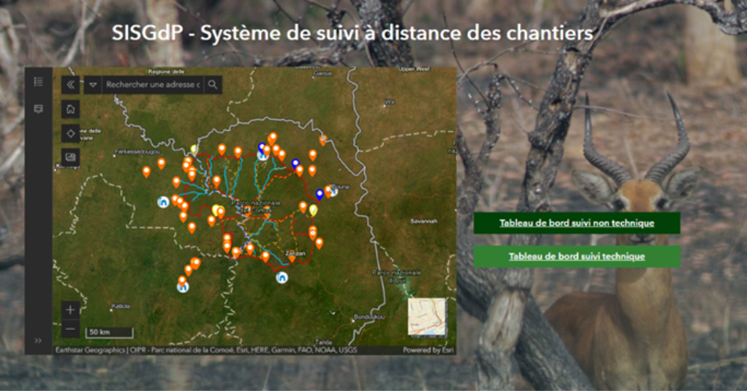
If a picture is worth thousand words, visualizing data on a map facilitates their understanding. A map allows to represent data in a simple way, to demonstrate results, to make information accessible to everyone, to show where and how development projects impact on people’s lives, to give citizens the opportunity to demand responsibility and transparency.
Use GIS to improve the effectiveness of the Programs
In a time period based on data, measuring the impact, effectiveness and efficiency of projects and programs is very important. Measuring the results of the activities helps to justify the spending resources, guarantee future financing built on successes and improve the way we operate.
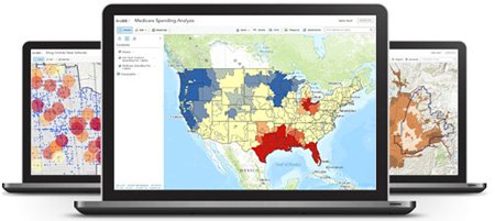
There are many combinations of GIS tools and methodologies that help us to gather data and analyze them in order to evaluate the effectiveness of our programs.
Workflows supported by ArcGIS:
- Create, document and argue contextual baselines, using spatial data with ArcGis
- Reporting: document the activities of the project and analyze data and results in progress in near real time.
- Monitor these relationships in order to allow project managers and key stakeholders the understanding of what happens and where, what works and what does not work.
- Evaluate results and effectiveness of the project to be valorised in the process of redesign and implementation of upcoming projects, redefining your strategy:
- view the effectiveness of project implementation
- identify the gaps of the projects and the unmet requirements for future projects
- analyze the opportunity of donor coordination within a geographical area
- calculate the spatial correlation of the outcomes.
Transparency and Accountability
A participatory and careful monitoring, documented by solid and shared data is an important act of transparency and accountability of aids.
Maps and cartographic applications shared on the web, used as GIS solutions that support interventions all over the world, can play a decisive role in strengthening the mutual credibility of donors, non-profit organizations and NGOs.
Spread your data, facilitate collaboration
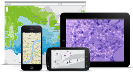
The new Web GIS paradigm allows you to contribute with your skills and data to global wisdom. The Web GIS provides an online infrastructure for making maps and geographic information available in an organization, in a community and openly on web. This new vision completes, integrates and extends the work of GIS professionals.
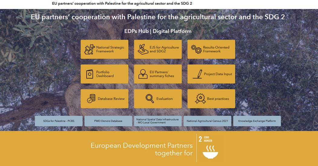
Creating open data portals provides public access to your data. Web applications allow you to share your data in ways that make them easily to find and explore.
Open data give the possibility to be a member of a global community of geodata content editors.
