Why Sofala? Why Now?
Sofala Province, which includes the city of Beira and the district of Nhamatanda, is one of the areas most exposed to natural disasters and the effects of climate change in Mozambique. The effects of climate change are felt here every day: damaged infrastructure, closed schools, interrupted services. And children are the first to suffer.
According to the Children’s Climate Risk Index (UNICEF, 2021), Mozambique ranks 10th globally for children’s vulnerability to climate risks. Behind the statistics are real lives: children unable to attend school, families forced to move, communities struggling to rebuild.
This project aims to tackle these challenges — with a new and inclusive approach.
A New Way to Plan: Local, Participatory, Digital
This is not just an emergency response plan. It is a long-term strategy to address the effects of climate change that empowers communities through:
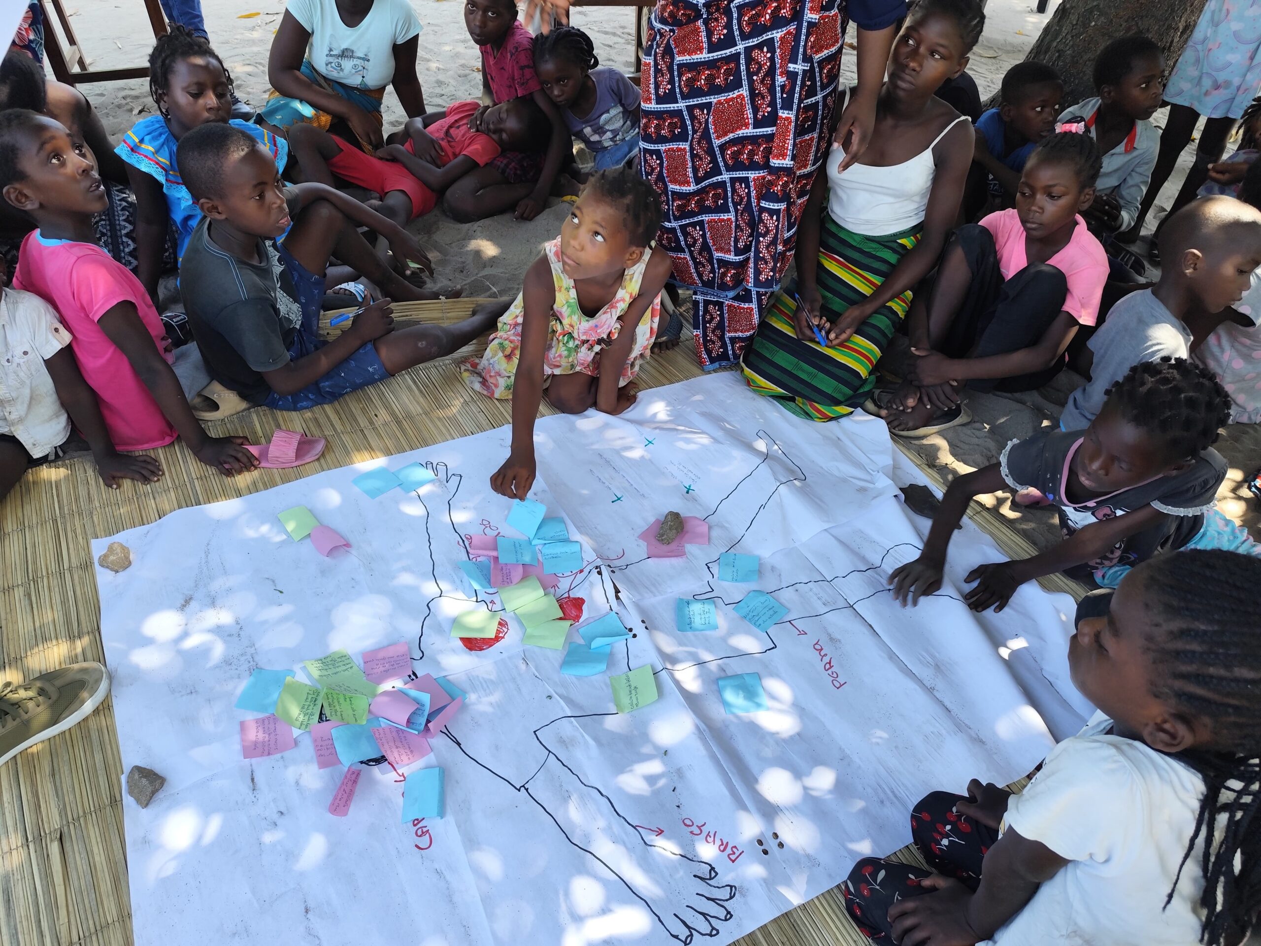
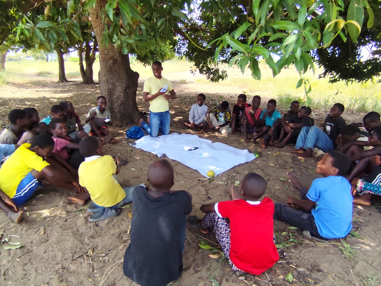
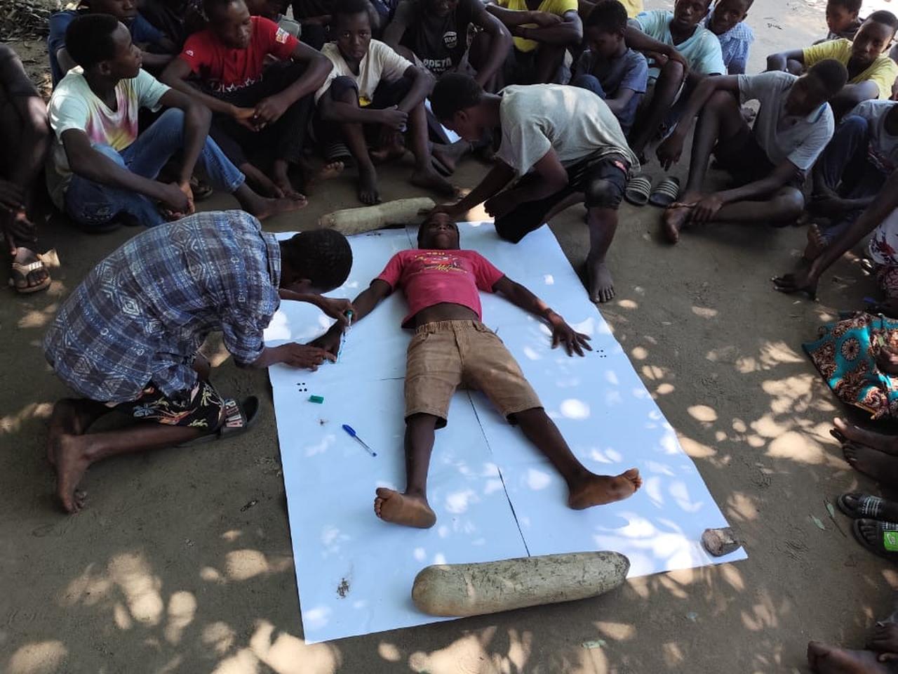
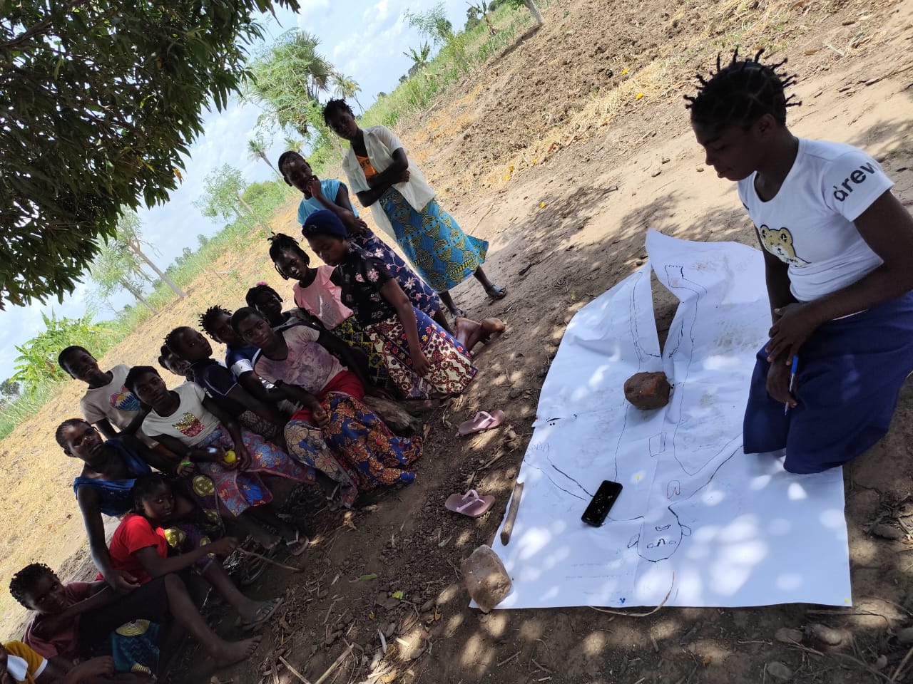
- Participatory planning with local stakeholders
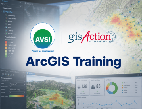
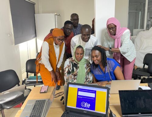
- GIS technology to map and analyze climate risks
- Training and awareness programs
- Updating Local Adaptation Plans (LAPs) and contingency plans, tailored to real needs
Thanks to this model, communities are able to anticipate disasters, respond effectively, and recover more quickly—especially in ways that protect children.
Project Phases
The work focuses on eight pilot areas: five neighborhoods in the city of Beira and four rural communities in Nhamatanda.
The process unfolds through several key phases:
- Understanding the territory – Using satellite imagery and field surveys, the team maps critical infrastructure, natural resources, and known risk areas linked to the effects of climate change.
Risk analysis – With the support of GIS systems, hazard, exposure, and vulnerability maps are created, highlighting the most at-risk areas—particularly schools, health centers, and homes. - Targeted planning – The data collected is used to update Local Adaptation and Contingency Plans, through co-design with community members.
- Preparedness for action – The project defines evacuation procedures, emergency centers, safe routes, and strategies for resource distribution.
- Knowledge sharing – Educational and informational materials—booklets, posters, StoryMaps—are produced to make risk information accessible to everyone.
A Methodology Grounded in Global Standards
The project is not based solely on community dialogue — it is built on a solid methodology aligned with internationally recognized frameworks.
Risk assessment is conducted according to principles and workflows promoted by:
This ensures that both the technical process and local engagement are guided by best practices in the field of disaster risk reduction.