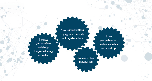
GISaction aims to support the world of the Development Cooperation, from local to global scales, in dealing geographically with issues related to sustainable development.
It uses cutting-edge GIS technology with the purpose to optimize the process of analysis, presentation, management and communication of sensitive data, making them faster, easier and intuitive.

Innovation based on Geo – Technology
GISaction provides a multidisciplinary and integrated vision, enhancing geospatial technologies from GIS to Remote Sensing, having a 360 ° look of their panorama.
Its main goal is to evaluate problems on different scales, on a physical and human level, trying to understand phenomena in their general and detailed trends, considering the human beings and the place.
