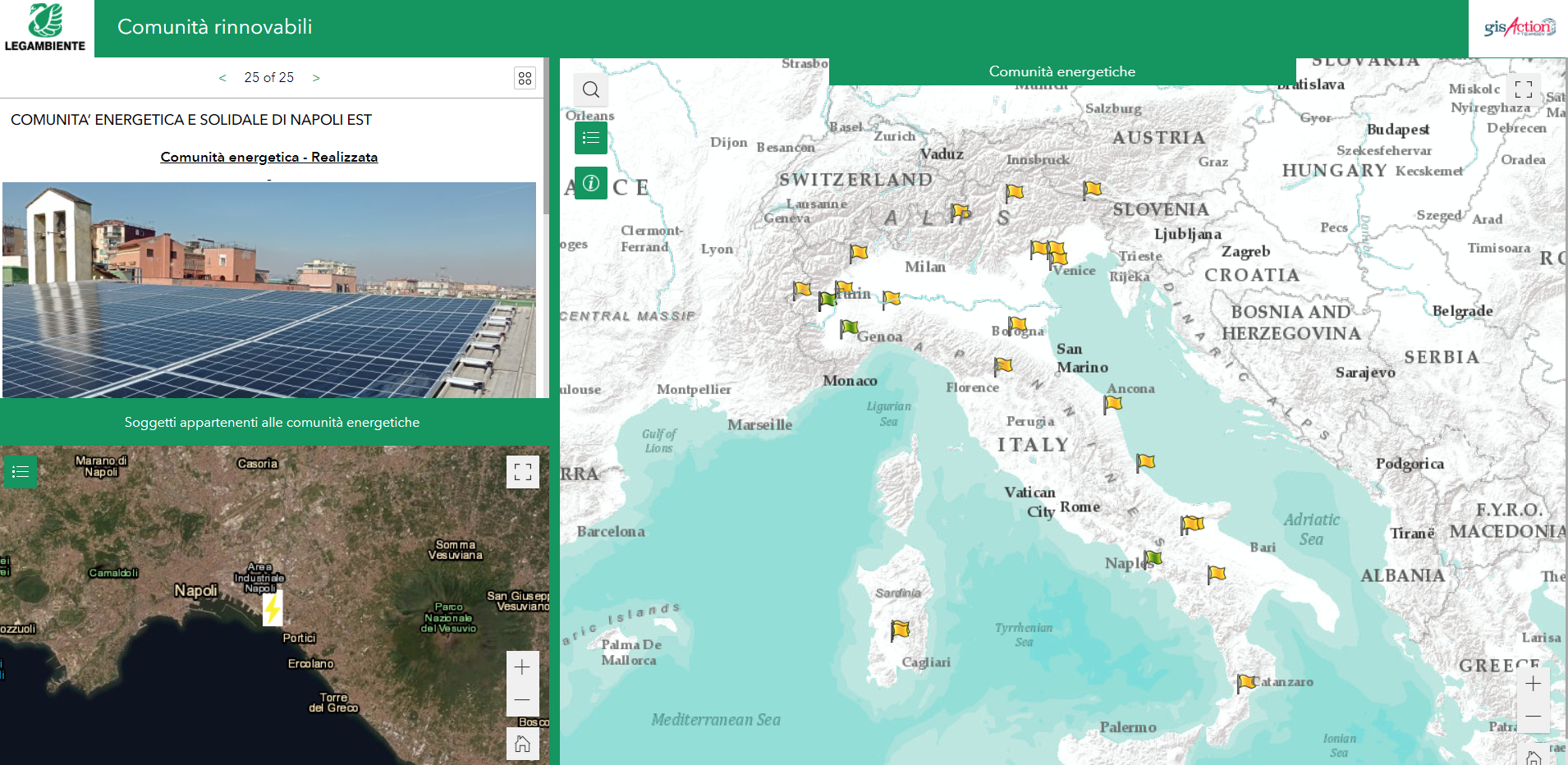
gisAction developed an application that allows the participatory mapping of the data of the Energy Communities in Italy
Legambiente takes a census of the energy communities and experiences of collective self-consumption that are developing in various Italian territories. These realities represent an ideal tool to contribute in a concrete way to the fight against the climate crisis and energy poverty, and are among the most obvious signs of the advancing energy revolution. gisAction has supported Legambiente in the innovation of workflows and in the configuration of a participatory mapping project.
Needs: mapping energy communities
Legambiente carries out campaigns and projects in Italy that deal with sustainable development issues and involve people, communities and institutions.
Legambiente has been carrying out for some time an activity to census and describe the “Renewable Communities” in Italy; these are virtuous experiences of self-production, self-consumption and exchange of renewable energy. The growth and spread of these projects has made it necessary for Legambiente to develop a structured project to collect information from energy communities and experiences of self-consumption, to monitor a phenomenon that is advancing more and more to meet the energy needs of realities with very different characteristics and needs.
The project required the creation of a participatory mapping system of existing renewable realities, in which each community could describe itself, enter data and enrich a public map.
Solution: GIS applications for Legambiente
A workflow project was developed with three main steps corresponding to three geographically based applications:
Through the Survey123 for ArcGIS application, it was designed a web questionnaire that the energy communities can fill out. The questionnaire allows to describe both the energy community and the subjects belonging to it. Through this tool each community maps its location, inserts the salient data and some images. When a questionnaire is sent, Legambiente is notified of the registration of a new community.
The data sent are made available through an application created with the WebGIS application of ArcGIS Online and configured to allow a validator to verify the data and allow public viewing.
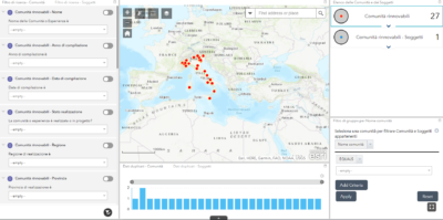
Finally, a web application was created for the public visualization of the data entered by the energy communities, exploiting the potential of Experience Builder in ArcGIS. The result is a web page configured for the visualization of the validated energy communities. It consists of two related maps showing the energy communities and the subjects belonging to each. They complete the information framework data on power, production, facilities.
In 2022, the application was renewed in appearance and functionality: information about each community was enriched, the classification of energy communities was changed, and a counter was added that shows in real time the number of communities and subjects surveyed by category.
Benefits: participatory mapping and workflow automation
The designed flow allows an efficient collection of information from energy communities and a participatory mapping. Moreover, the innovative feature of the project means that Legambiente will no longer have to deal with digitizing from paper material the information coming from energy communities as it will already be available in GIS databases configured specifically for mapping. The Legambiente operator, therefore, will only have the task of validating the information received and approving the appearance of the data received in the public map.
In addition to the interactive web map, a second map has been configured to allow for the querying of community members. The whole system is automated and this translates into a considerable saving of time and resources for Legambiente operators.
Legambiente’s words at GISday
Who we worked with
Legambiente is an Italian non-profit organization founded in 1980. It’s the most prominent and widespread environmental association in Italy with two headquarters in Rome and Milan, 20 regional coordination offices and more than 600 local groups of volunteers.
