Realization of the webGIS portal
Project
Legambiente was founded in 1980. The Association’s distinctive feature has always been on scientific environmentalism. This way, every initiative for the defense of the environment relies on solid scientific base of data, fact that allows to support the battles with concrete, realistic, practicable alternatives to be followed.
This, together with constant attention to the issues of education and training of citizens, has ensured Legambiente’s deep roots in society, to the point of making it the environmental organization with the most widespread distribution. Legambiente is supported by over 115,000 members, 1,000 local groups, 30,000 classes participating in environmental education programs, more than 3,000 young people who participate in our volunteer camps each year, over 60 natural areas managed directly or in collaboration with other local realities.
Customer needs
CittàClima is a Legambiente observatory on the impacts of climate change on the Italian territory, with a particular focus on urban areas.
Through the website cittaclima.it we want to increase and widen the attention towards phenomena that are increasingly changing in size and frequency.
Solution: StoryMap for disseminating information
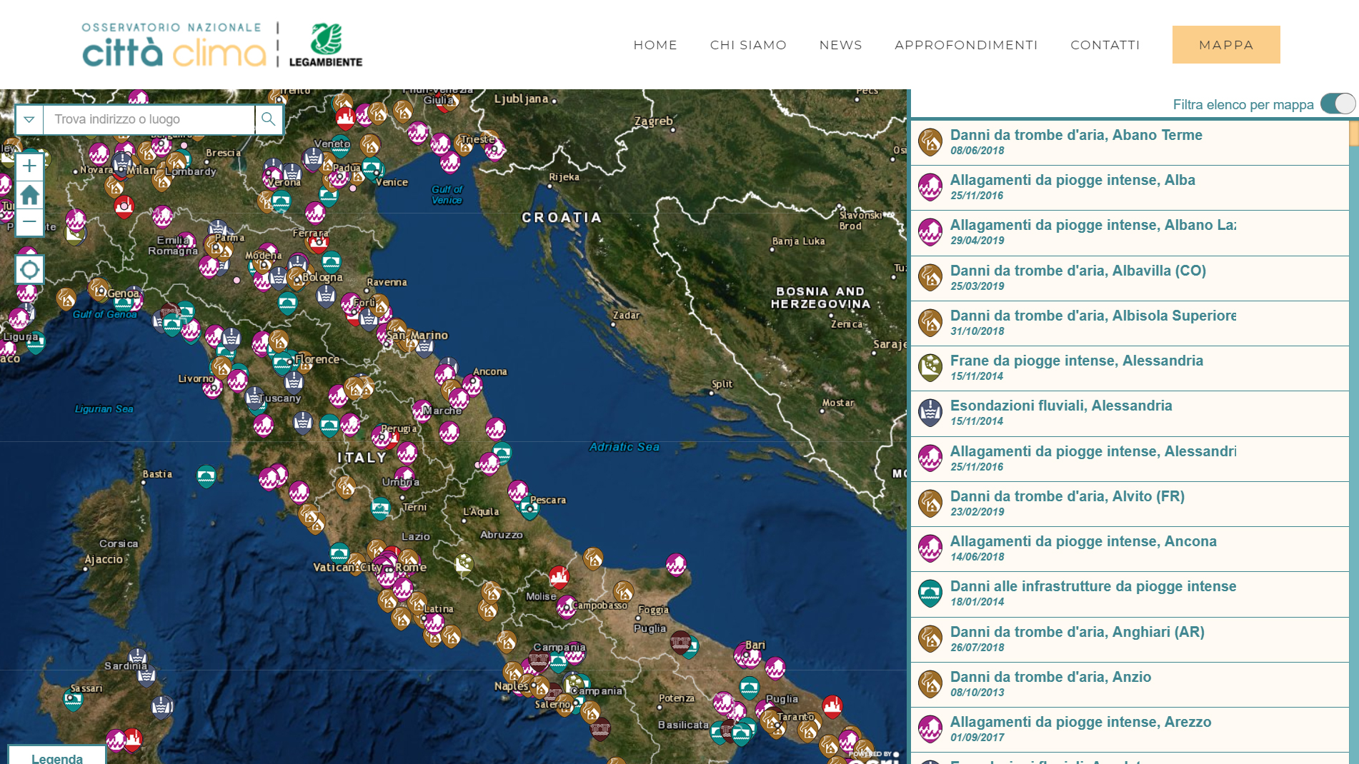
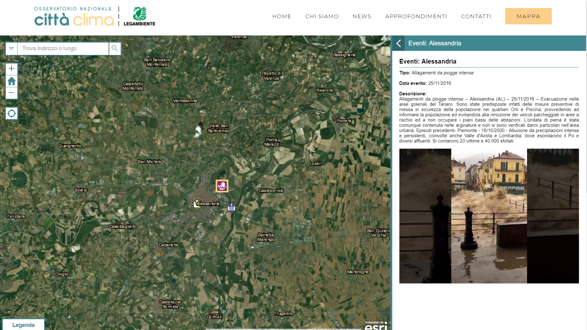
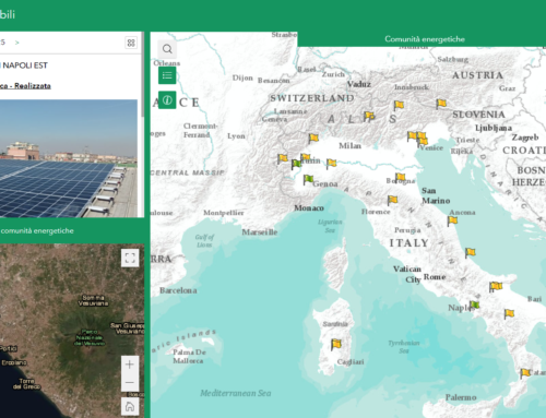
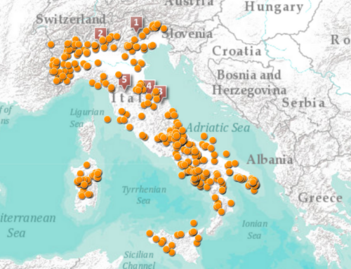
A website with an ad hoc webgis integration has been created. Besides, a plug-in for WordPress has been developed.
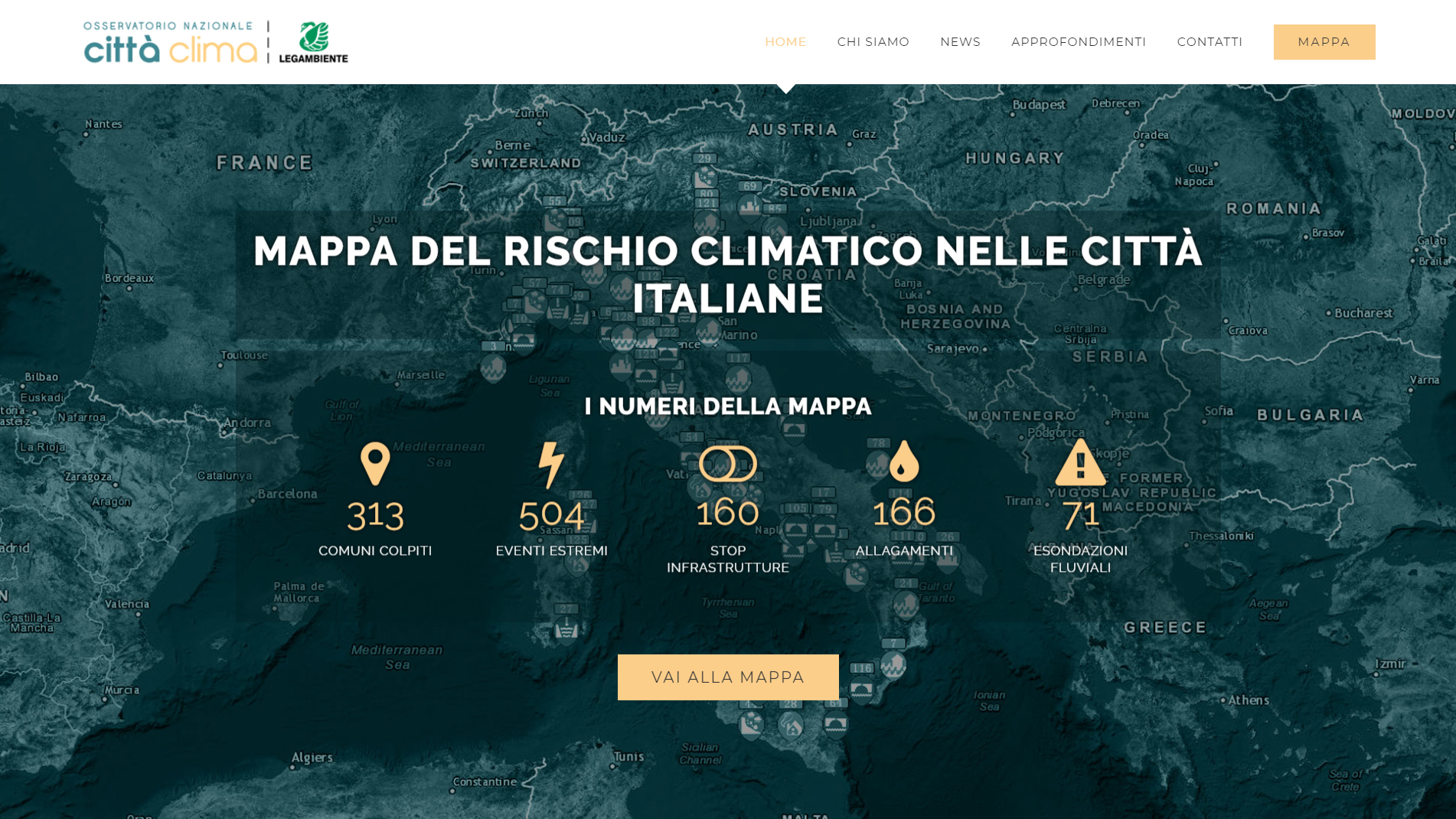
This implementation allows users to view on the home page, dynamically querying the GIS services, some statistics related to the layers of the webgis
Benefits of the StoryMap
Cittaclima.it also wants to explore what is happening in Italy and in the world in relation to the studies and research on climate change. On the website there will be published researches, articles and details on conferences organized by Legambiente in collaboration with universities and public and private institutions. Moreover, in the news and good practices sections of the website we want to give visibility to updates on news from around the world and from Italy, taking into consideration things that are happening, researches and interventions carried out.
