Feasibility study and a satellite monitoring system for rice production promoted by the MLI / 021 project.
 Project for Lux Dev
Lux Development created a Cooperation Programme with the aim to support the Government of Mali in its efforts to reduce poverty and food insecurity.
The goal is to develop a tailor-made WEB GIS integrating ground-truth, remote sensing, weather data, modelling and spatial analysis. The capability to share all the process and the data within a web platform allows to improve farmers’ decision-making process, to support university and scientific researchers, and to strengthen the agricultural statistics framework.
The third indicative cooperation program (PIC III) aims to support the Malian government in its efforts to reduce poverty by supporting inclusive and sustainable growth and reducing food insecurity.
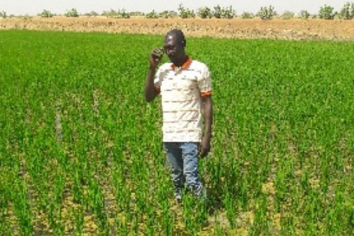
The specific objective is to develop and intensify the productivity, sustainability and profitability of three agricultural sectors: rice, fonio and sesame.
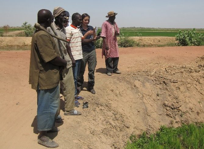
The MLI / 021 project has expressed the need to diversify the technological tools (ICT and satellite remote sensing) that the interested parties have to support and facilitate the achievement of their goals. This includes the acquisition of information on production and management of the company, which is reliable, timely and accessible by users and decision makers in the three sectors concerned.
For this purpose, Lux Dev involved GisAction to carry out a feasibility study focused on the development of the geographic-based information system for agronomic monitoring and rice yield estimation.
The collaboration gives the possibility to codesign an appropriate and transferable solution, together with institutional, technical, scientific and strategic stakeholders.