A training course with the participation of gisAction through training lessons on the use of GIS technology.
FORMA.Azione has chosen to rely on gisAction for the training course on data acquisition from APR-UAV platforms. The gisAction technicians illustrated the operating mechanism of GIS technology in the context of the analysis processes of the collected images.
Needs
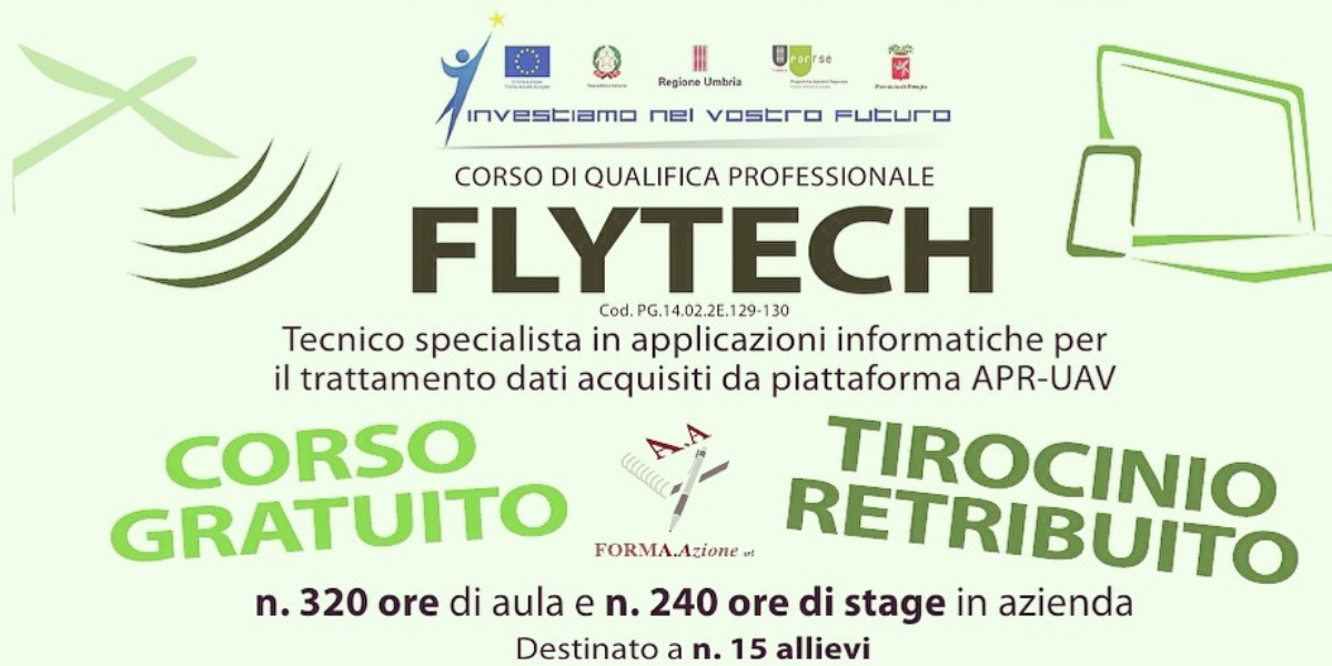
FORMA.Azione has designed and implemented a professional course for the training of 15 technicians specialized in the processing of data acquired from APR-UAV platforms. The course was divided into 320 hours of theory and 240 hours of paid internship within a local company, at the end of which a qualification certificate was issued.
The course was co-financed by the European Social Fund (FSE) as part of the Regional Operational Program (POR) Umbra FSE “Regional Competitiveness and Employment Objective” 2007-2013. The participation in the course was free of charge.
Solution
The choice fell on gisAction as its team is highly competent in the field of innovative applications for the acquisition, management and processing of remote sensing data.
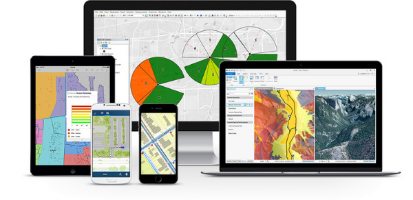
The focus of the course was on the processing part of the data acquired through GIS platforms to perform analysis processes. In fact, the GIS allows to operate with different tools present in a geoprocessing environment, which are integrated with raster and 3D data models.
There are many application sectors for proximity remote sensing area, such as precision farming, monitoring and enhancement of cultural heritage and territorial planning.
Benefits
gisAction has been able to provide highly qualified staff for teaching. This was possible thanks to the long experience in the use of GIS software and in the treatment of remote sensing images for territorial analysis and decision support.
Who we worked with
FORMA.Azione is an association that carries out training and professional orientation activities through training courses, support to active job seeking and consultancy activities for companies.
