gisAction for the participatory mapping of Villa Pamphilj
gisAction for the participatory mapping of Villa Pamphilj
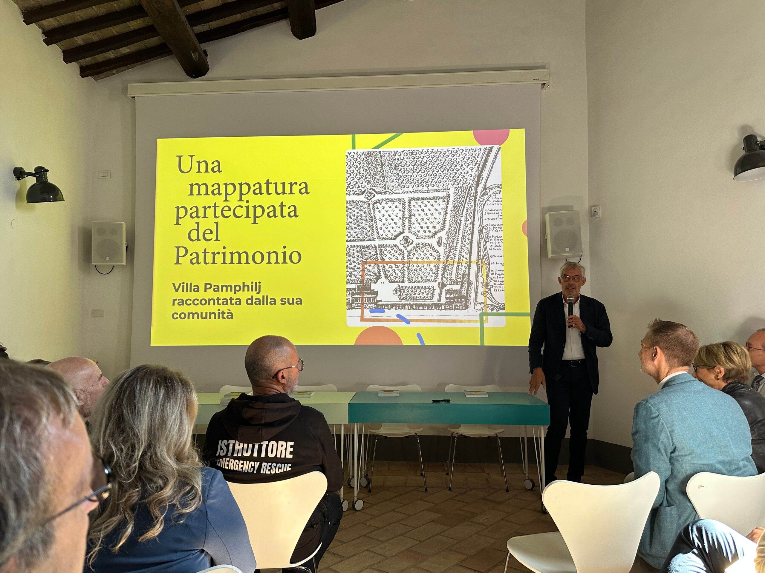
On October 7, we took part in the presentation of the project “A participatory mapping of cultural heritage in dialogue with territory and community”, carried out within the framework of the Extended Partnerships CHANGES (PNRR – NextGenerationEU). The initiative introduces an innovative approach to enhancing cultural heritage by combining digital tools with the active participation of the community.
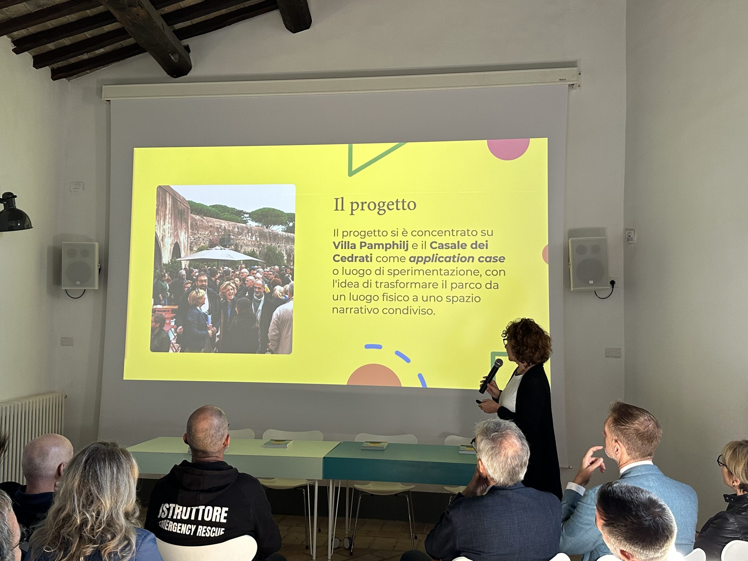
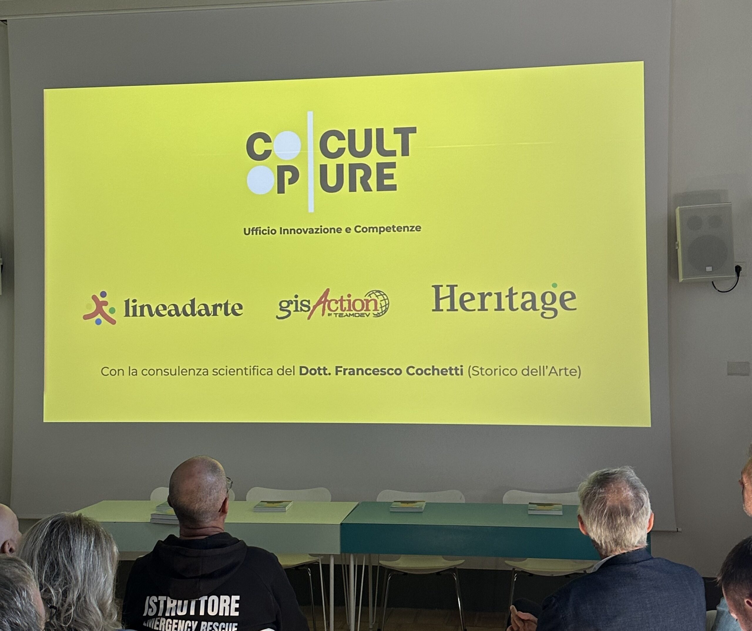
Led by CoopCulture, in collaboration with Linea d’Arte, Heritage S.r.l., and gisAction, the project focuses on Villa Doria Pamphilj and Casale dei Cedrati, two symbolic landmarks of the city of Rome.
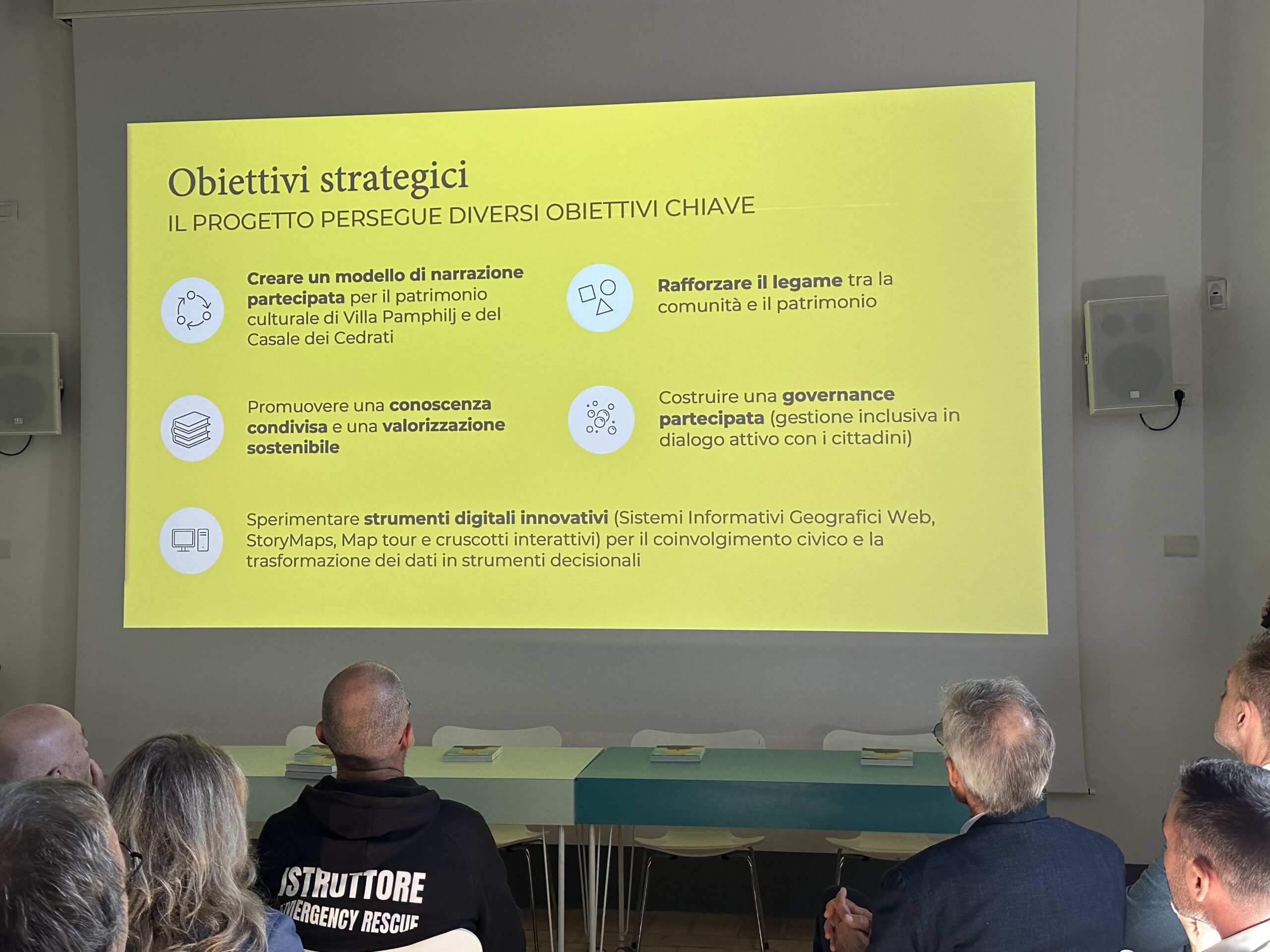
The goal is to go beyond simple historical documentation and to build a shared representation by integrating three key dimensions:
-
Historical and artistic heritage
-
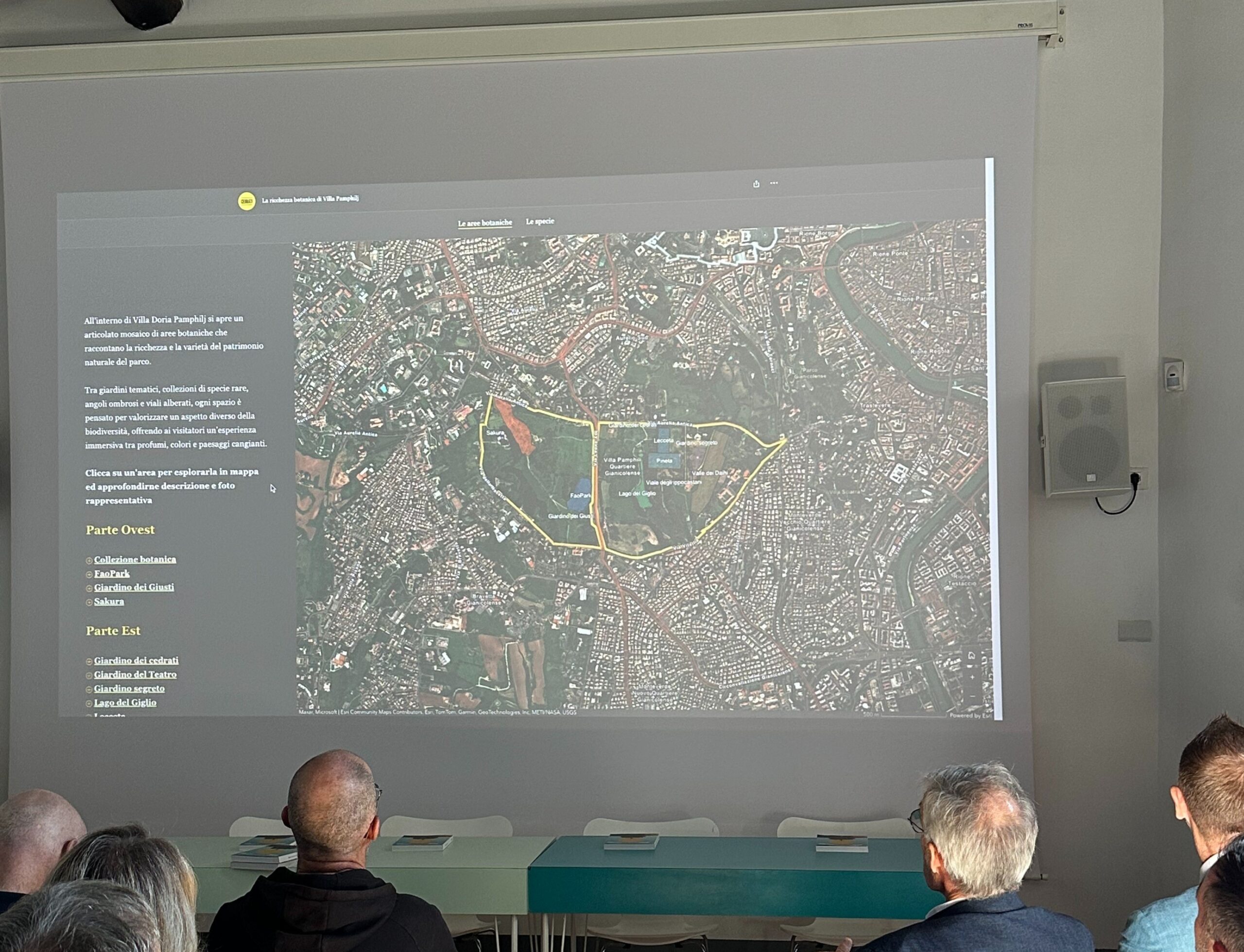
Naturalistic and botanical richness
-
Community experiences and narratives
Through the use of GIS technologies and StoryMaps, three thematic itineraries were created to explore the Villa in a new way:
-
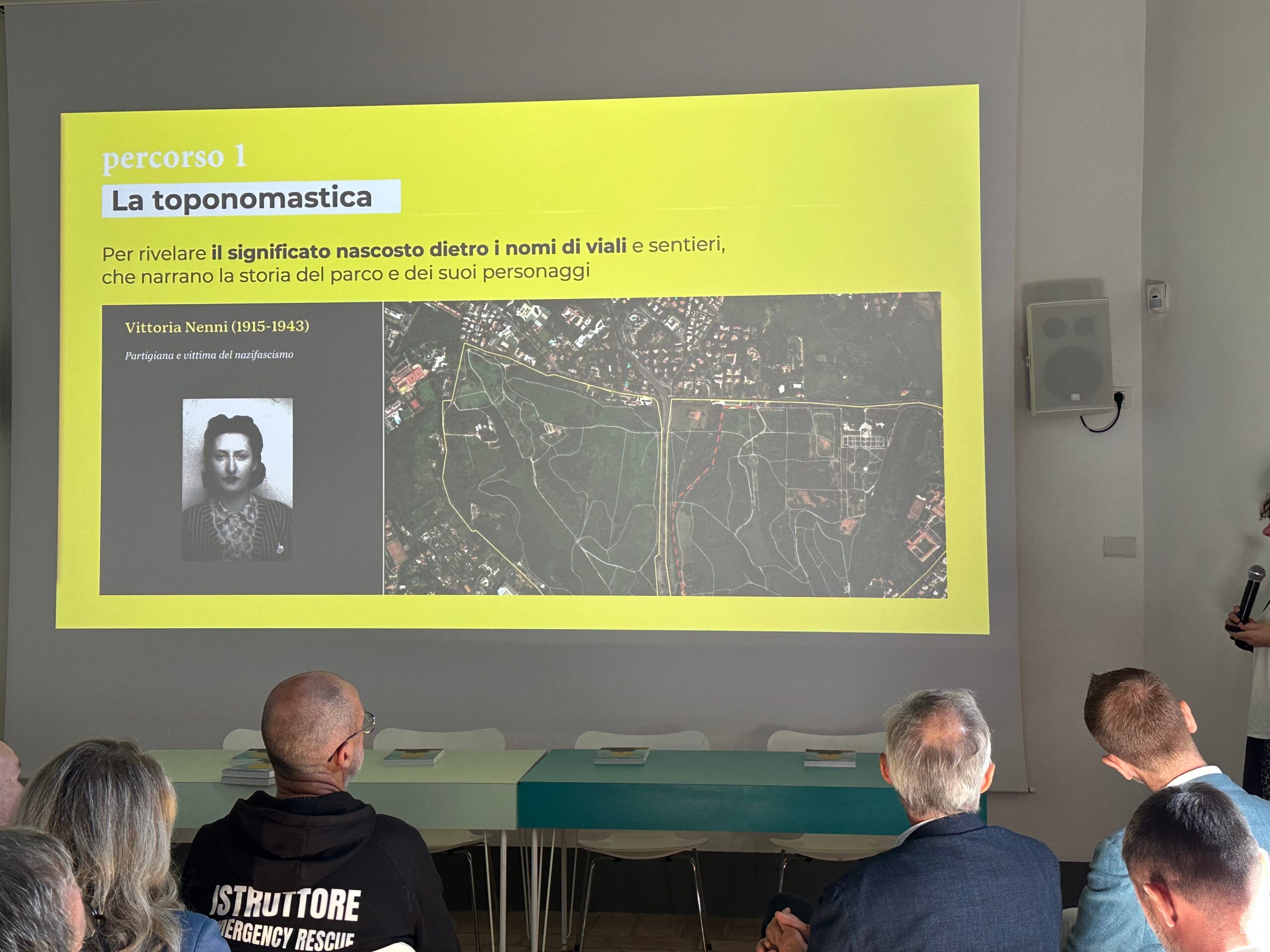
Women and the Risorgimento, dedicated to the women and historical figures who left their mark;
-
Fountains and monumental architecture, to rediscover the main historical elements;
-
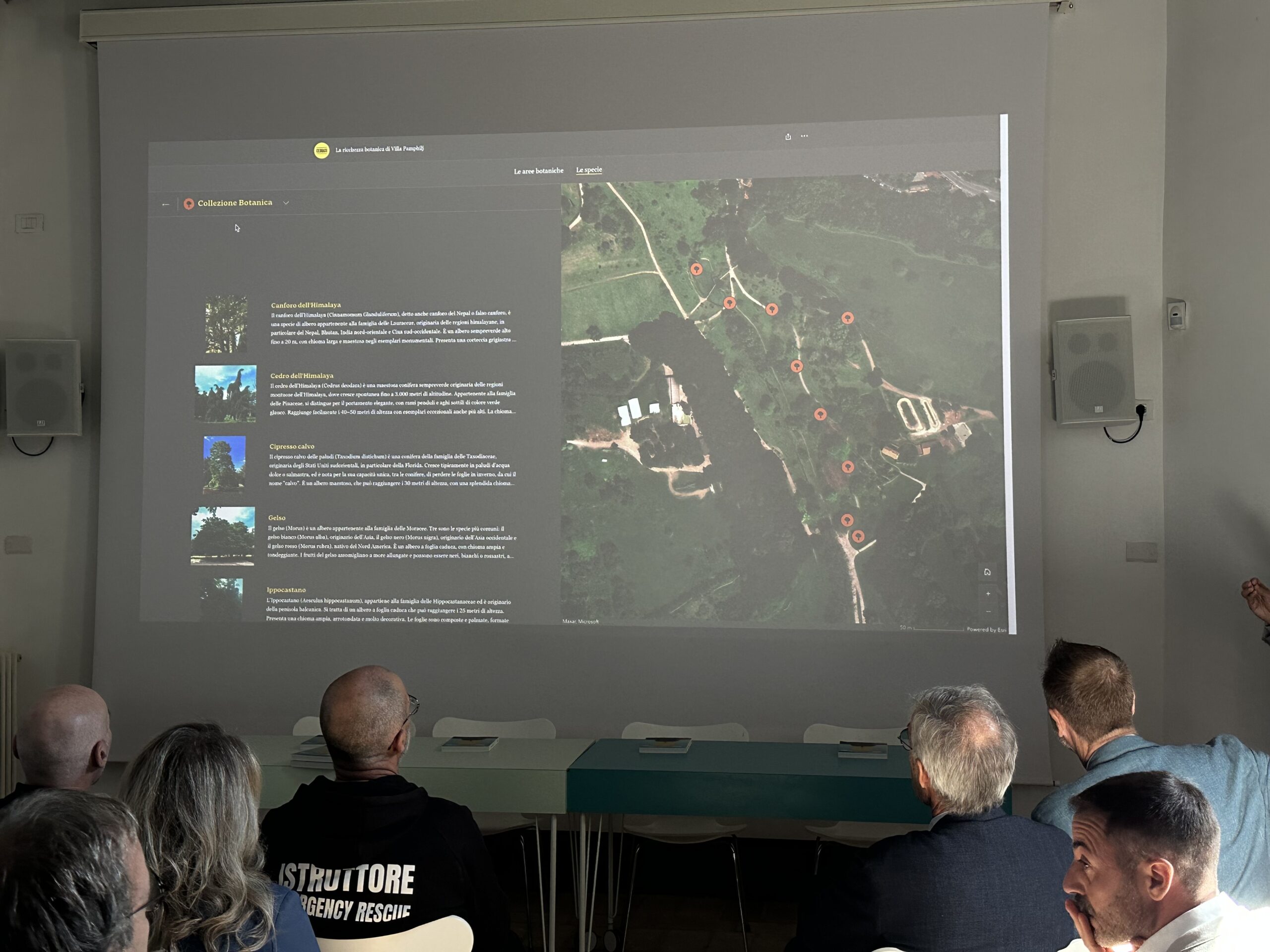
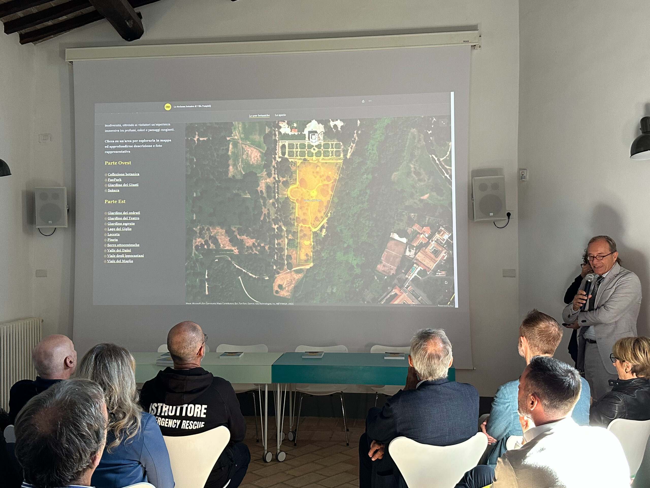
Biodiversity and landscape, to highlight the area’s botanical wealth.
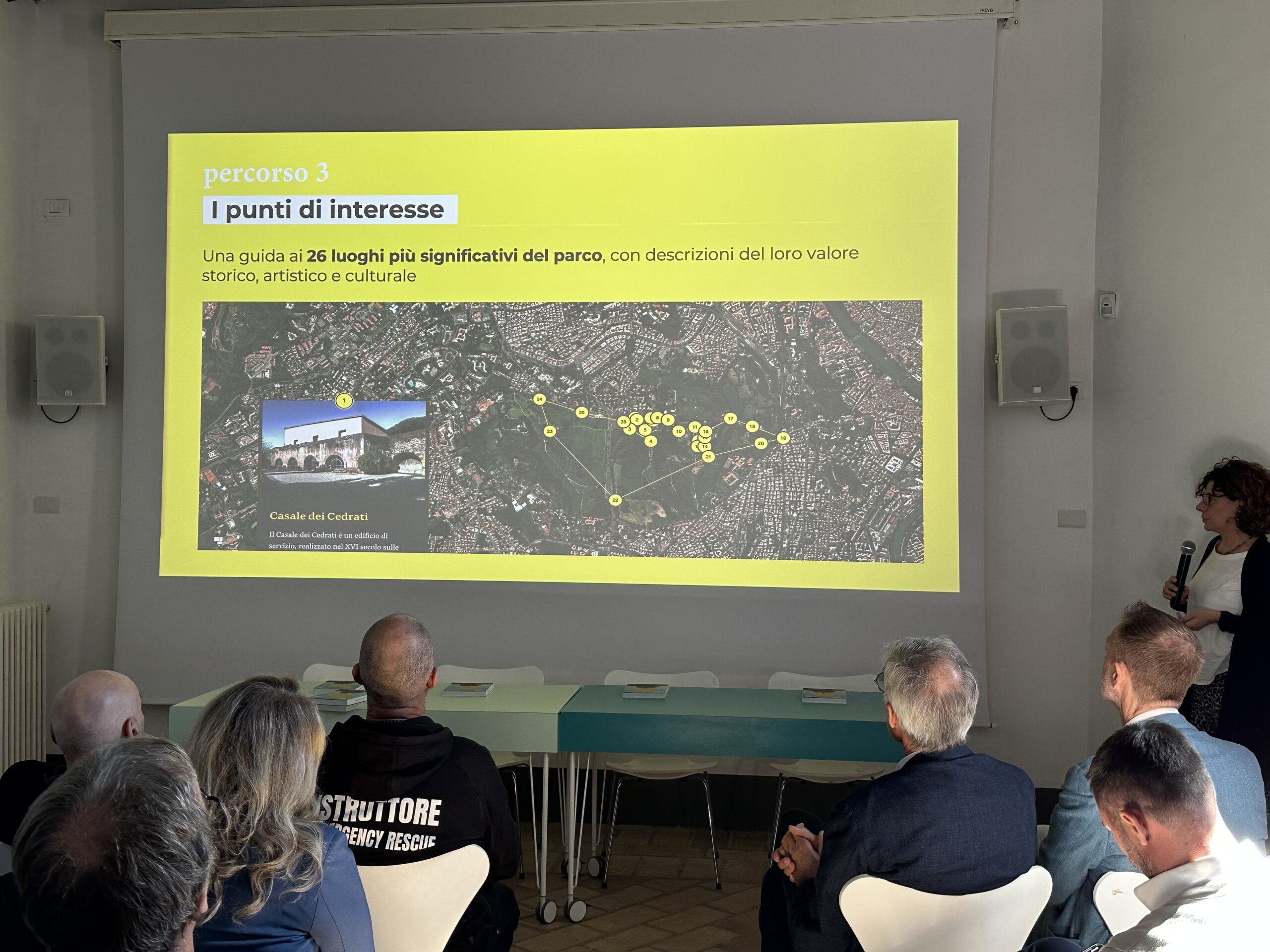
The project has achieved remarkable results: 127 original contributions collected from the community, 140 georeferenced cultural organizations, and 26 points of interest thoroughly documented.
These figures are not mere statistics — they represent a living network of shared knowledge and collective memory.
gisAction’s contribution focused on the development and technical support of the geographic storytelling platform, integrating technical-scientific data, cultural information, and local narratives into a single digital environment. This made it possible to transform maps and content into an accessible and participatory experience, giving the community back a living heritage to explore and enrich over time.
The CHANGES project stands as a replicable model for other cultural and territorial contexts, combining technological innovation with participatory governance.
The platform is publicly accessible and serves as a concrete example of how GIS and storytelling can foster dialogue between heritage, territory, and community.