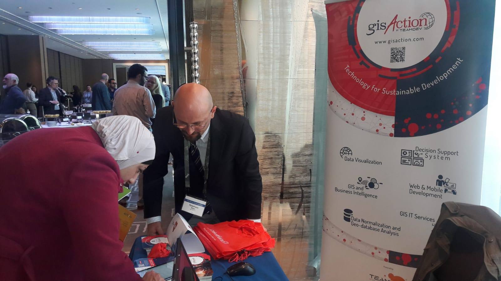
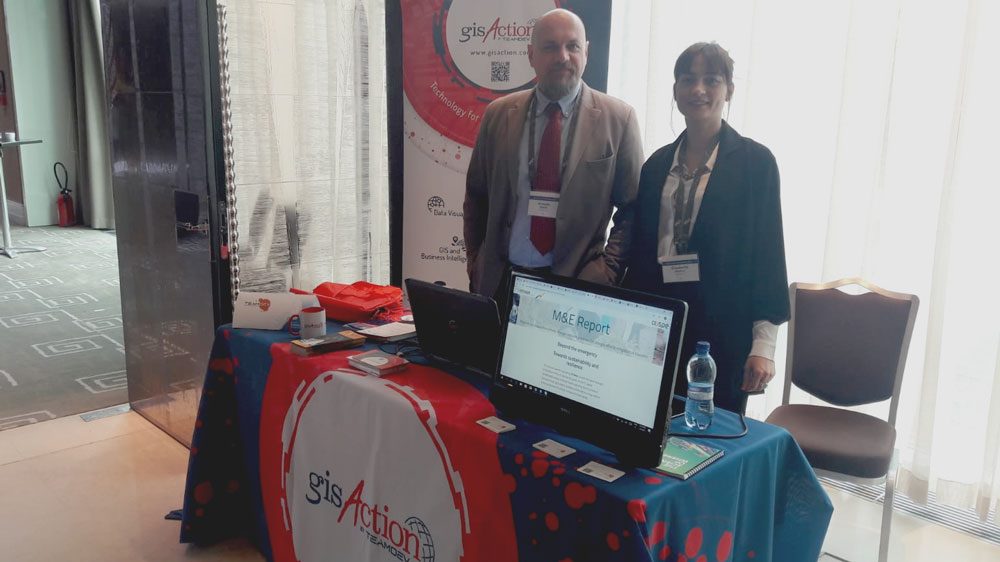
gisAction is a brand of TeamDev
Its name embodies its core identity: GIS + ACTION
![]()
gisAction was founded in 2010 to address the need to implement a specific form of Action through a geographical approach, inspired by the values of the civil economy that TeamDev has chosen as its model.
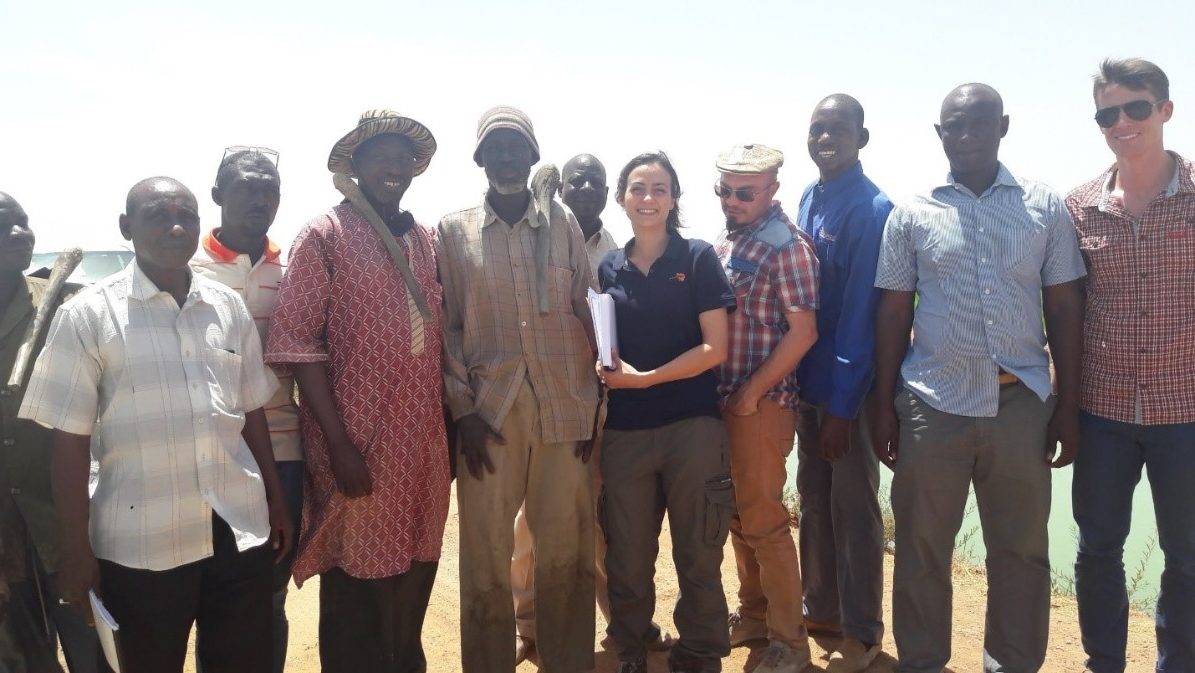
gisAction aims to support NGOs, Associations, and International Organizations in addressing sustainable development issues from a geographical perspective. It uses cutting-edge GIS technology to optimize the processes of analysis, presentation, management, and communication of sensitive data, making them faster, easier, and more intuitive.
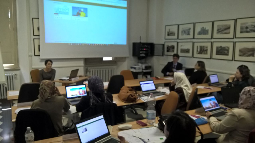
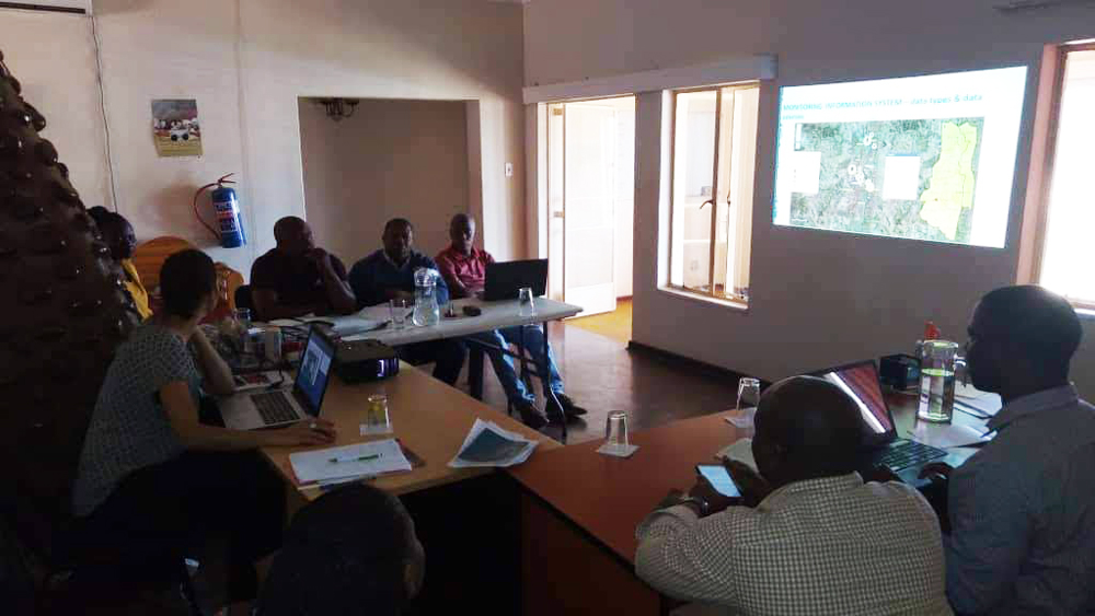
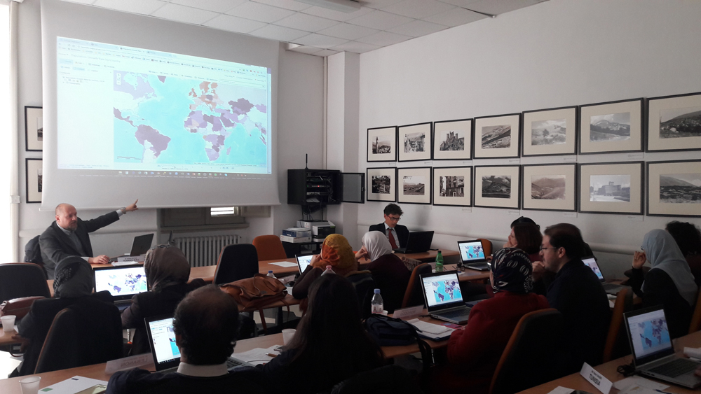
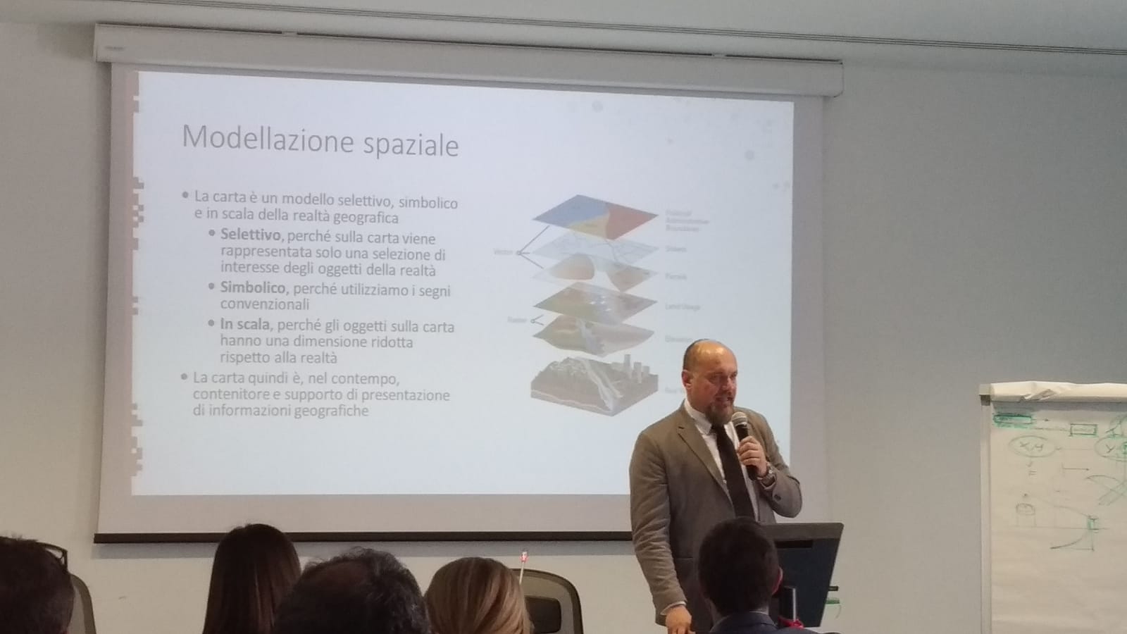
gisAction relies on a highly multidisciplinary team (geographers, agronomists, IT specialists, geologists, and biologists) to ensure the best integrated geographical approach to the challenges of sustainable development and development cooperation. gisAction seeks to use geography as a multidisciplinary key to interpreting the world, striving to reconnect what is separated — or rather, what has been separated. It aims to assess problems across different scales, both physical and human, in order to understand phenomena in their broad trends as well as in detail, ultimately reaching, on one side, the individual, and on the other, the place. To achieve this, it employs the full range of geospatial information technologies, from GIS to Remote Sensing, covering the entire technological landscape.
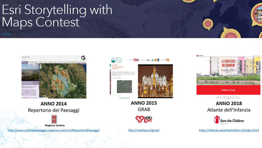
It is one of the global partners of Esri’s Nonprofit Organization Program:
https://www.esri.com/en-us/about/events/gis-sustainable-world/expo/sponsor-list, https://www.esri.com/en-us/solutions/industries/sustainability/overview