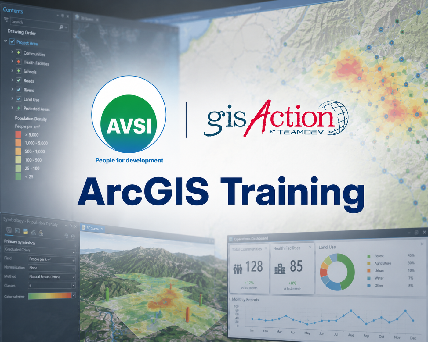
Innovate your workflows and design the Geo Technology integration
Geodesign for a more effective and participatory planning and management
Geodesign provides a methodology of planning and an approach to the design of implementing action plans to be carried out in community and for the community. GIS is the tool that allows its performing, valuable in all phases of the project cycle.
The Geodesign merges all geographic sciences oriented to an integrated planning. It provides as well, a tool that facilitates collaboration and participation of all the stakeholders involved in a process or project, fostering the social commitment necessary to make changes.
Some GIS workflow innovation can help to increase the impact and effectiveness of projects and programs, optimizing the acquisition and analysis of data and, at the same time, providing a more solid, more communicative, more effective result: the map.
Geodesign is an affordable tool in all phases of the Project
Planning
In this phase geodesign allows to examine data, correlate socio-economic indicators, compare and decide where to intervene, in order to achieve sustainable development goals, in the best possible way.
Implementing and Participation
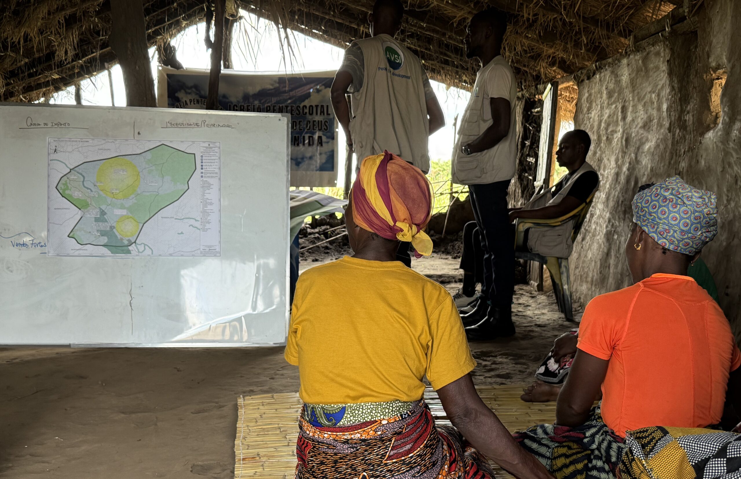
- Community cartography: mapping the territorial identity to preserve or reconstruct.
- Strengthen partnerships and interaction: applications focused on the map provide an exciting and engaging way to publish geographic information. It allows stakeholders and recipients to feel involved and interact with a map in real time, send questions and find answers
Implementing and Decision Making
- Suitability analysis
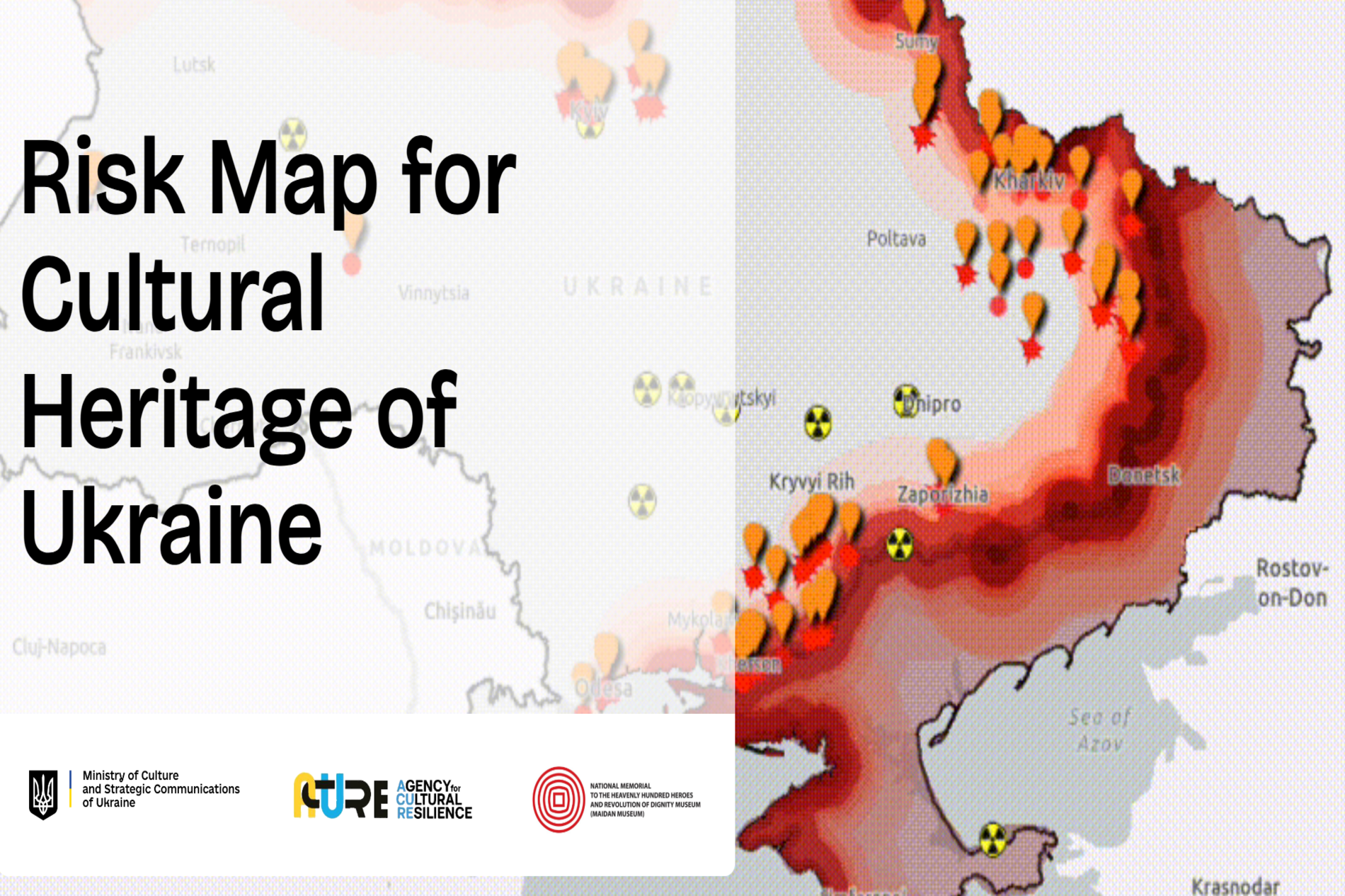
- Outline scenarios based on risk analysis
Implementing, Monitoring, Evaluation and data flow
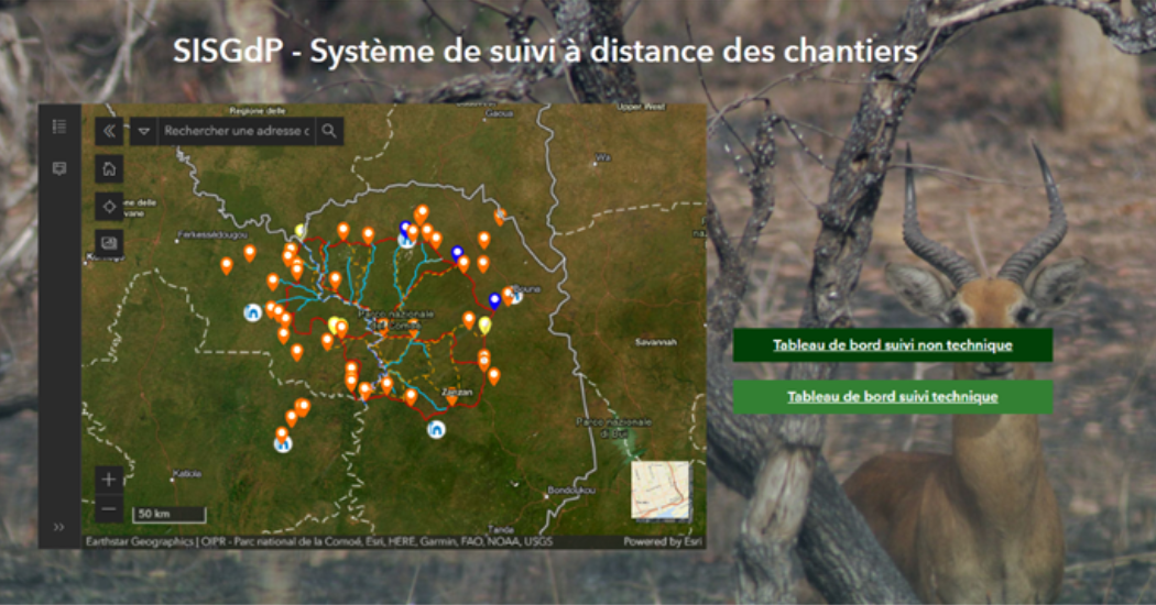
- The maps give the possibility to visualize dynamic information that changes over time: they allow you to dynamically view time frames to measure the evolution of phenomena and data over a time period and to conduct not only spatial but also diachronic analyzes.
- Mobile data collection and mobile apps.
- Field assessment mobile Apps: application of tools for mobile data collection, field surveys, multilingual compatibility and offline collection.
- Functional apps: ad hoc development or customization of functional applications: m-learning, m-payment, platforms and services.
- Operations management: in order to have the possibility to check and plan operations you need to know where things are and what their current conditions are. The use of infographic displays with spatial location can be the most effective way to view an operation and communicate a management plan. Whether you’re in the office or on the road, native and web applications help you make decisions.
Communication, Dissemination and Advocacy
Geodesign is a great support for governments and stakeholders to respond effectively to territorial specificities. It allows to implement networking and to identifying the best partnerships to activate or develop an integrated approach of territorial development.
Use Codesign for business to develop co-creation and participation
Codesign is the best solution to have a global vision and to keep under control the projects of your organization. You have the possibility to easily manage all the information of the organization. Use Codesign for:
- Customized planning of the information management strategy within the organization: from data collection to ingestion and processing, modification and maintenance, analysis and dissemination.
- Design and implementation of relational geodatabases.
- Dashboard and visualization of data and automation of periodic reports (social report, report of programs and projects with pre-set graphics and synchronized with the database, maps).
Capacity building to improve skills and knowledge
Take advantage of the process by which your organization may improve skills and knowledge needed to be competitive. Use successfully:
- Front training and training on the job
- Remote Support
- Help desk.