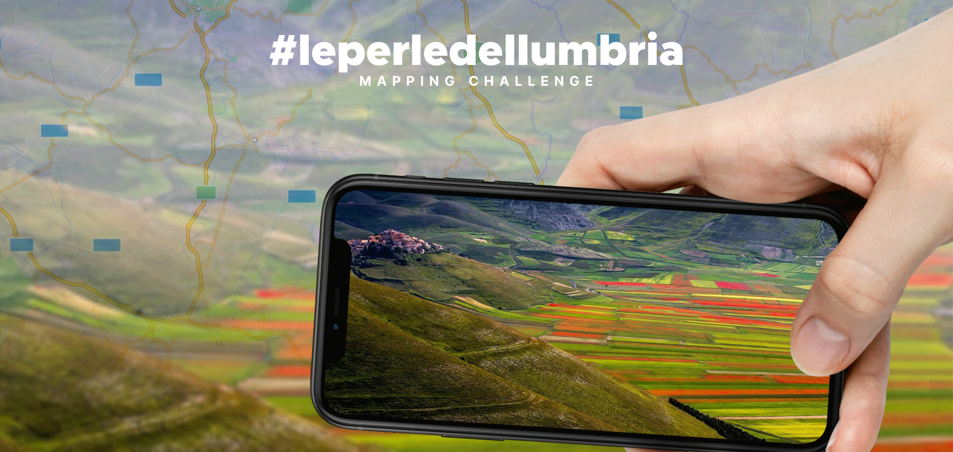
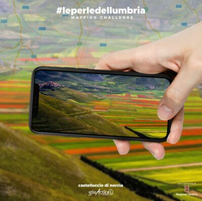
Le Perle dell’Umbria
A “mapping challenge” to enhance the beauty of the territory thanks to geographical tools
“Le Perle dell’Umbria”, title of the gisAction project sponsored by the Umbria Region, is a participatory initiative of Citizen Science in which everyone can become a protagonist in the construction of an interactive map, which is like a thread that holds together “Le Perle dell’Umbria”.
A final report and the StoryMap enriched with the images sent will be presented on November 17 during the GIS Day 2021, the event that every year gisAction realizes together with the Umbria Region to celebrate the geographical culture and geospatial technologies.
Press Review