Introduction of geospatial technologies in census operations in Albania
 Project
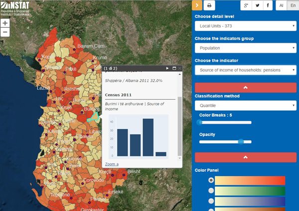
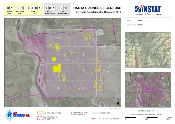
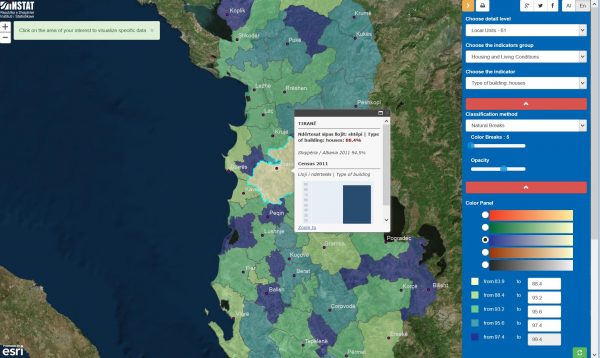
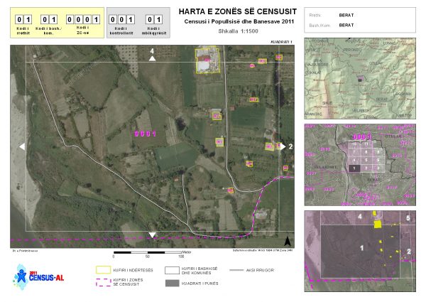
Albania’s 2011 population and housing census introduced the use of GIS in several stages of the process: pre-enumeration, enumeration and post-enumeration. The operations started in 2009 with the implementation of a digital infrastructure for mapping the Albanian territory and buildings through the use of the latest satellite imagery. The map updating operation was the first major activity for the construction of a geodatabase. The digitization and geocoding of the census maps went on until 2011.
During the census operations the Statistical Institute of Albania built, with the support of gisAction, a monitoring system based on a web-GIS application. The data collected every day were uploaded and managed in the INSTAT headquarters in order to have a real time overview of the data collection process.
Who we worked with
![]()
![]()