A StoryMap to collect and make available documents, texts and work materials of one of the most important Italian scientists of the second half of the twentieth century, Antonio Cederna

Project realized for ‘Antonio Cederna Archive’
The ‘Cederna Archive’ collects documents, texts and work materials of one of the most important Italian scientists of the second half of the twentieth century, Antonio Cederna. He is a fundamental figure in the history of the Italian environmentalism and the defense of the Italian cultural heritage. The background of the Archive is made up of different types of documents, a photographic collection with slides, slabs, maps and planimetry. These are manuscripts, typewritten documents, first drafts of publications and public interventions, press clippings, dossiers. All this material is evidence of the commitment, the rigorous work system and anticipatory vision of the great italian intellectual.
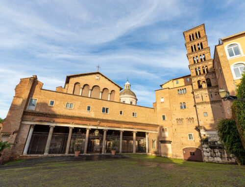
The Cederna Archive is an operational and invaluable tool for daily heritage protection and management activities. From the Appia Antica, to the urban green, from the defense of the soil to the cementing of the coasts, from the urban sprawl to the historical centers.
Antonio Cederna had written many articles on themes and places that today generate a heated debate.
Customer needs – broaden the works of Antonio Cederna to pursue the goals of the protection and enhancement activities
The Archive and the institutions that promote it aim to broaden the knowledge of what Antonio Cederna wrote and theorized and, at the same time, to share with the largest number of citizens, in Italy and in the world, the goals of the protection and enhancement activities that are pursued.
Solution: a storymap to collect and make available online the articles and works of Antonio Cederna
gisAction and Cederna Archive have designed a storymap to collect and make available online the articles and works of Antonio Cederna. The works were written for multiple publications from 1949 to 1996, to promote the thought of the great researcher, spreading it as an example for the management of still current issues. The Storymap, created through the customization of the ESRI “Map Journal” template, gives access geographically, to more than two thousand articles, further enhancing the work of digitization and constant care of the archive promoted by the Archeological Superintendency in recent years.
There are several ways to explore the maps and view the articles, which are divided into the following sections: Cities – protection of the historic centers and planning; Territories and landscapes; Roads, hydrogeological instability and polluting plants; Parks and natural areas; Cultural heritage.
Each map allows you to view geo-referenced articles based on the narrated place. The icons identify the individual items by type, allowing you to access them directly through the pop-up. The archive is enriched by unreleased materials, personal life stages and training, images, original videos, unpublished letters.
On the platform there are also available “Heat maps”or maps that show the frequency of articles by location, a way to understand which are the areas on which Cederna’ was focused more to understand which Italian areas are most problematic for each topic. A final summary map allows you to start a timeline to observe the chronological scan of the articles from 1949 to 1996.
Benefits of the StoryMap
The StoryMap represents a new and easy to disseminate way to view the vastness of Cederna’s commitment, and to keep memory of his works and thoughts. It represents a multimedia archive of cataloged articles, easily accessible online.