gisAction solution for the conservation project of Comoé National Park, in Côte d’Ivoire.
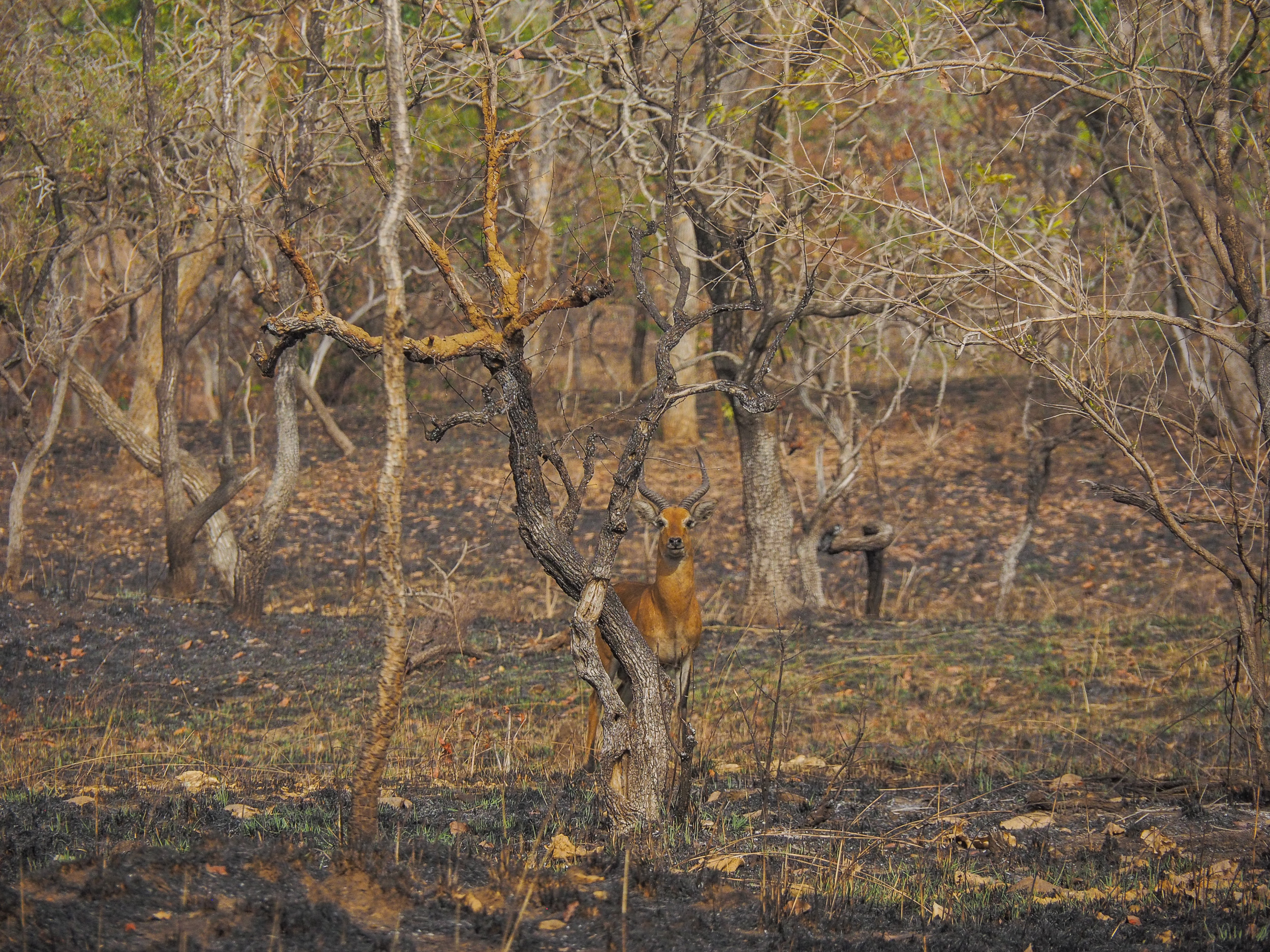
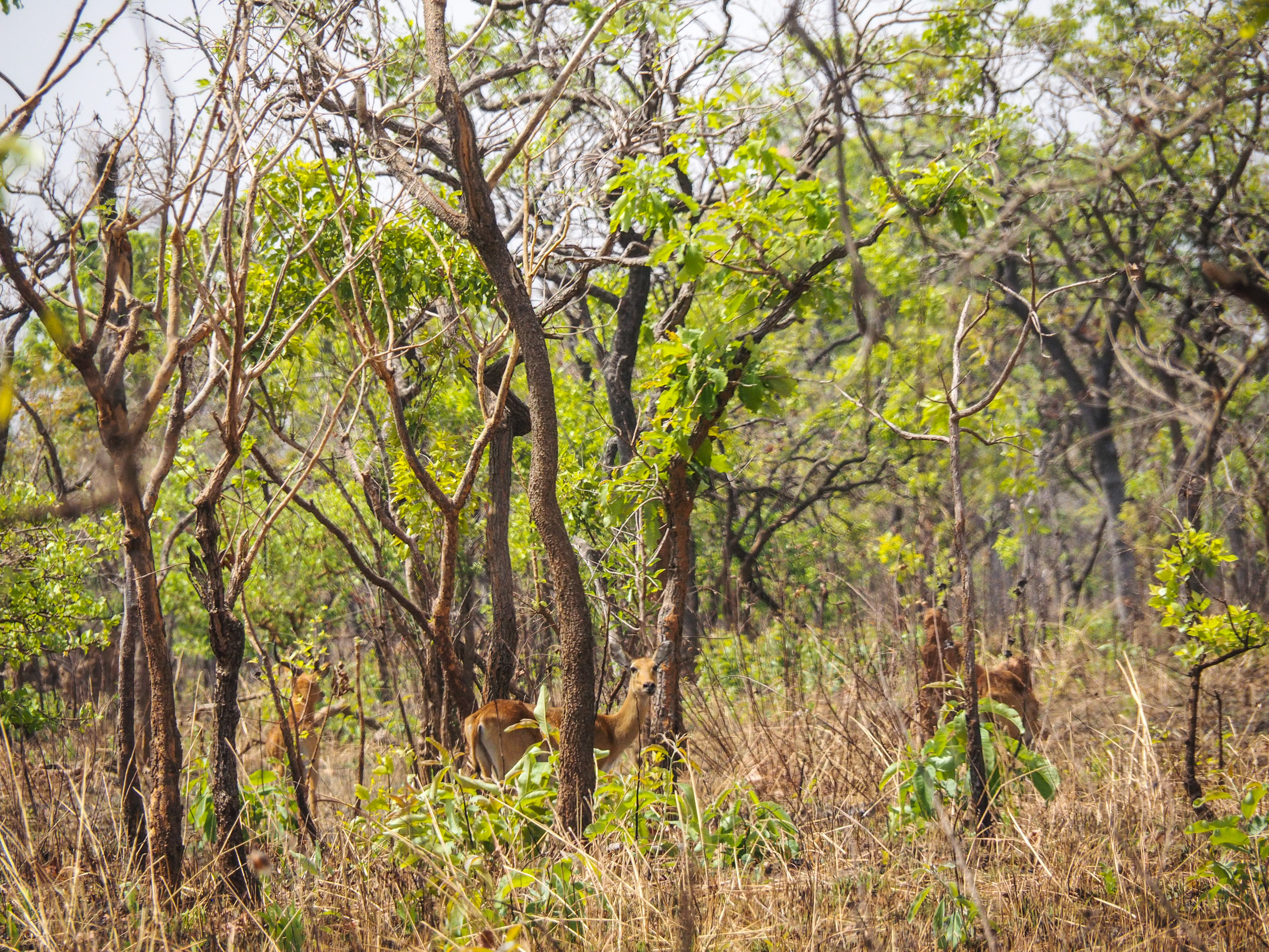
The Comoé National Park is the largest protected area in West Africa, a Biosphere Reserve and UNESCO World Heritage Site. In 2003 it was added to the listo of World Heritage Sites in Danger mainly due to an increase in poaching caused by the lack of management after the outbreak of the first ivorian civil war. Nowadays the OIPR (Office Ivorien des Parcs et Reserves) has resumed their work in the Comoé National Park but they still struggle with terroristic attacks in the north-west area of the park.
Needs: technology for conservation
The major challenges management faces are successful combating of poaching, reducing agricultural pressures and the renovation of the streets and infrastructures in the park for proper access control.
The main projects to combat these problems are the establishment of an efficient surveillance system in the park and close cooperation with local communities to reduce the pressures on the periphery of the park through participatory management and the establishment of sustainable income sources for the villagers.
The park needs are around technological solutions for:
- Remote monitoring system
- Satellite communication able to link the patrol rangers to the managers consistently
- Supporting the patrol work on the field
- Rangers emergency response and task management

Solution: a geospatial infrastructure
gisAction is providing a Security Information System and Remote Monitoring and Project Management System, addressed to the National Park Direction and to the AHT project management. Basically, a system of systems which pursues the following objectives:
- Guarantee managers and decision-makers to have a current and geolocated vision of agents in the field and to be in contact with them to ensure their safety.
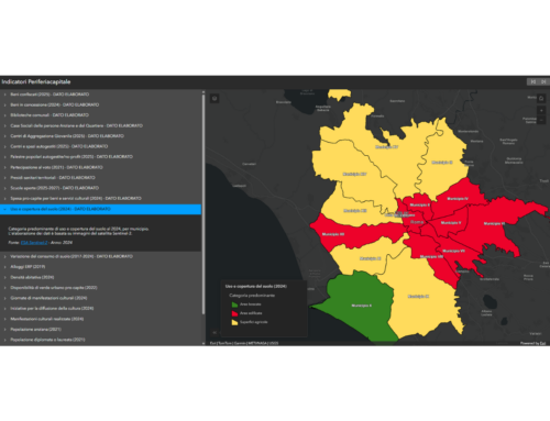
- Provide solutions for the collection, transmission and visualization of data concerning site monitoring activities.
- Create a common environment and up-to-date geographic information layers that facilitate data-driven decision making and information sharing among stakeholders.
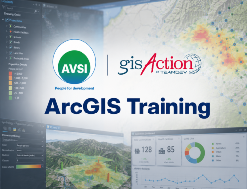
For the first point has been implemented a remote monitoring system composed of an ArcGIS Hub, operational Dashboards and surveys made with Survey123 for ArcGIS. These tools allow four different types of surveyors to monitor the state of works, each one according to the specific informational needs. The system enables the Donor team, the Project Manager, the Infrastructure Executive Officer, the Park Director to be aware of the works progress, to evaluate if they are well under way as planned or if any critical issues that may arise need to be tackled by the construction team and the client, without doing fields visits. This reduces drastically the accidents risks.
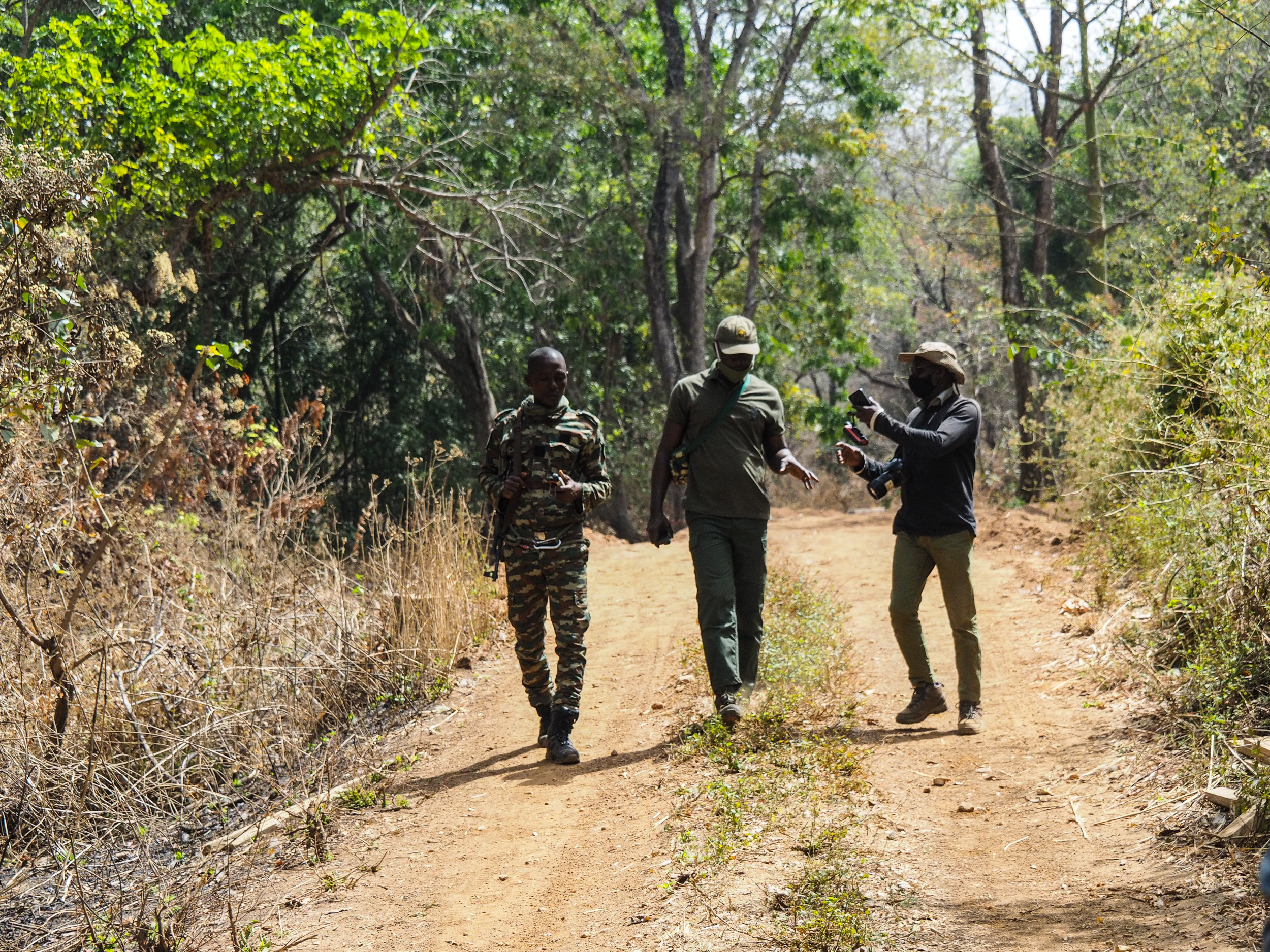
The second component which is at the heart of this project is intended for the security control of the agents, it’s a solution that gisAction has developed in recent years, and which supports the alert processes and communications between the field and the office and also the operational flow of message management and task distribution. This custom solution is set to be used as a “Security control room” where the rangers can interface themselves with real time data, respond to emergencies and plan their patrols according to the data gathered on the field. Data is collected from multiple sources, smartphones, Garmin and more, and integrated into the platform.
A third solution has been prepared for the park rangers in accordance with DZNE guidelines. We designed a workflow that comprises the use of Esri field apps such as QuickCapture and Survey123, an Operational Dashboard for charts and statistics and a Web GIS configured for reporting and spatial analysis.
Benefits: Safety and Innovation with Esri Conservation Program
The benefits of the proposed solutions are to streamline and help the decision-making process, digitize data collection and monitor either the state of works or ranger’s patrols in real-time, while using tools designed for non-expert IT users.
The development and the configuration provided have been possible thanks to the Esri Conservation Program (ECP) which enable the Comoé Park to access to an incredible technology at no cost. This allows them to implement today those three first solutions for responding to people security, infrastructure monitoring and ecological observations. As the program will cover the next 10 years, this is a huge opportunity for the Park to learn, to develop and to integrate a solid Geospatial infrastructure for conservation