The second level Master GeoAI program, Geospatial Intelligence, GIS & GeoApplications at Roma Tre University is designed to equip professionals with advanced skills in geospatial technologies, data analysis, and artificial intelligence.
Within this program, gisAction brand of TeamDev dedicated to geospatial technologies for sustainable development, supports the GIS component of the curriculum through its experts serving as lecturers.
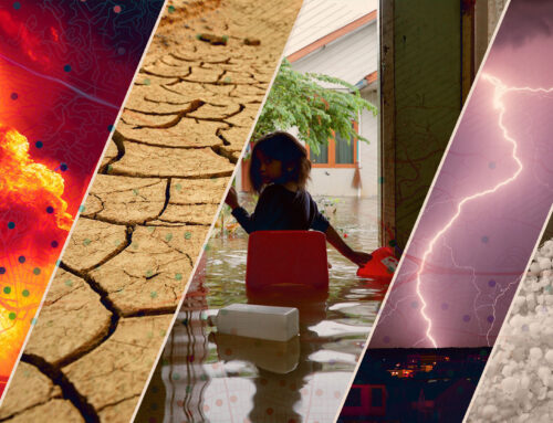
The Master GeoAI offers a multidisciplinary learning path that combines Geographic Information Systems (GIS), machine learning, and spatial data processing, preparing participants to address complex territorial challenges through innovative and data-driven approaches.
In this context, gisAction contributes to the program by bringing applied GIS expertise into the classroom. Its professionals support the development of key competencies such as:
- spatial data collection, management, and analysis
- GIS-based modeling and visualization
- interpretation of geospatial information for decision-making
- application of GIS tools in real-world scenarios
By integrating practical experience with academic learning, gisAction helps ensure that GIS is taught not only as a technical discipline, but as a strategic tool for understanding and managing territory.
Program structure and opportunities
The program will run from February 3, 2026, to February 28, 2027, in a blended format combining in-person and remote sessions. It is designed for a limited number of students motivated to develop advanced, specialized skills. Applications are open until January 15, 2026.
The GeoAI Master is supported by a network of leading public institutions, environmental organizations, and prominent companies, which contribute to both teaching and internship opportunities. These partnerships give students access to hands-on experience, cutting-edge technologies, and professional pathways, providing a comprehensive education that integrates theoretical knowledge, practical application, and technological innovation.