Discover the projects carried out by gisAction in the fields of international cooperation, territorial management, environment, and digital transformation of Sustainable Development actors. Our solutions based on GIS and Web GIS technologies, tools for collecting geolocated data, and for graphical and cartographic visualization of geographic Open Data, support NGOs, public authorities, and global institutions.
Explore the success stories that demonstrate how geospatial intelligence can improve planning, communication, and resource management.
Projects
- All
- GIS & mapping
- GIS for Climate Change & Disaster Risk Reduction
- GIS for Conservation
- GIS for Cultural Heritage
- Gis for Data Value Chain
- GIS for International Cooperation & MEAALS
- GIS for National Statistics
- GIS for Urban Regeneration
- Measuring results
- Services
- Solutions
- Storytelling and Advocacy
- Workflow innovation
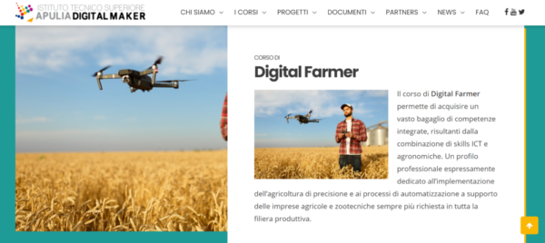
Digital Farmer Course
A course at the Apulia Digital Maker Technical Institute to train professionals in agriculture 4.0
How GIS transformed Albania’s national census
How GIS transformed Albania's National Census, a success story [...]
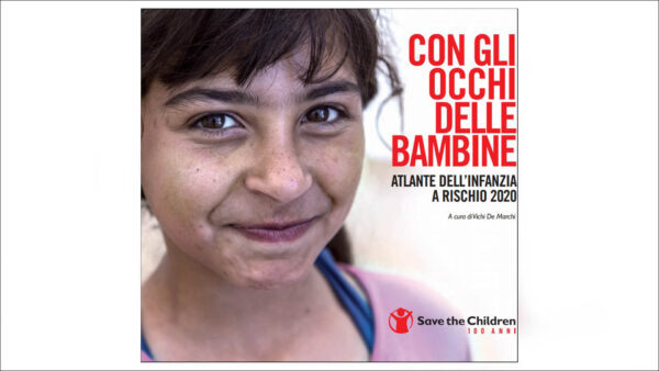
Atlas of Childhood (at risk) -2020 Edition
The eleventh edition of the Atlas of Children at Risk highlights the profound inequalities that have marked our country since the early years of childhood.
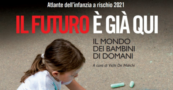
Atlas of Childhood (at Risk)- 2021 Edition
The 2021 Atlas will provide an overview of the impact of COVID-19 on the lives of children and adolescents.
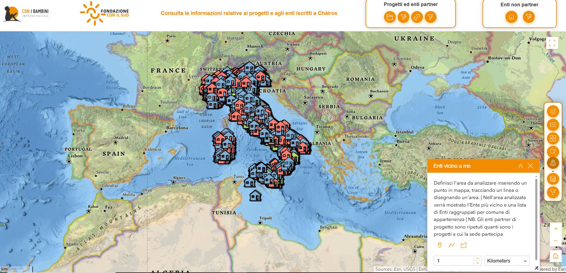
Social enterprise Con i bambini
Beyond the map: a WebGIS system based on ArcGIS [...]
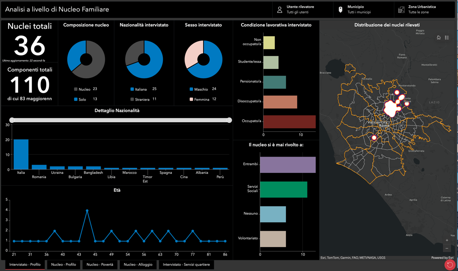
RomaInsieme – Digital inclusion to give a voice to social vulnerabilities
In Rome, there are stories that risk remaining invisible: [...]
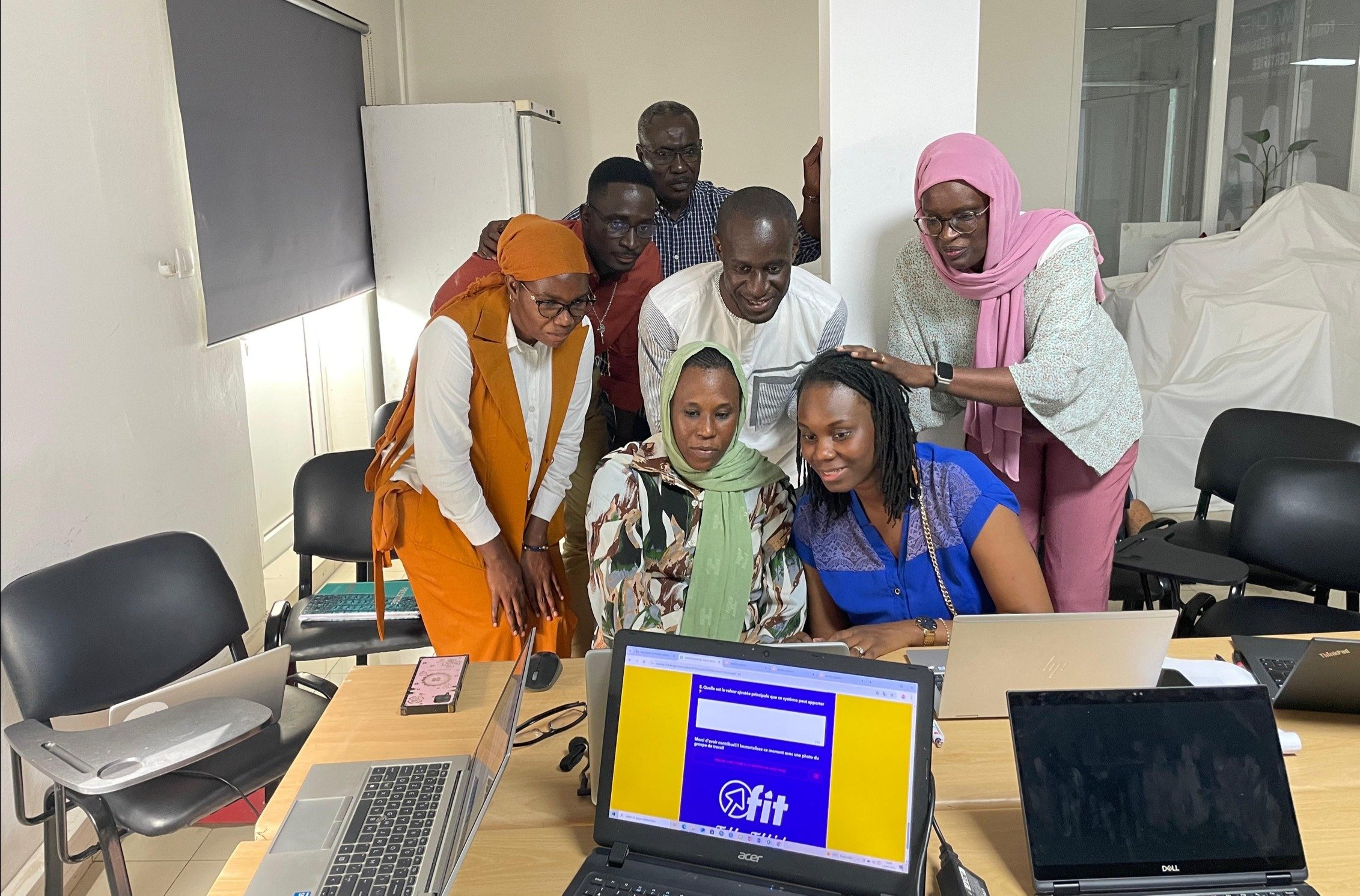
FIT! Sénégal: Opportunities for Young People
FIT! Senegal: the digital platform that transforms training and [...]
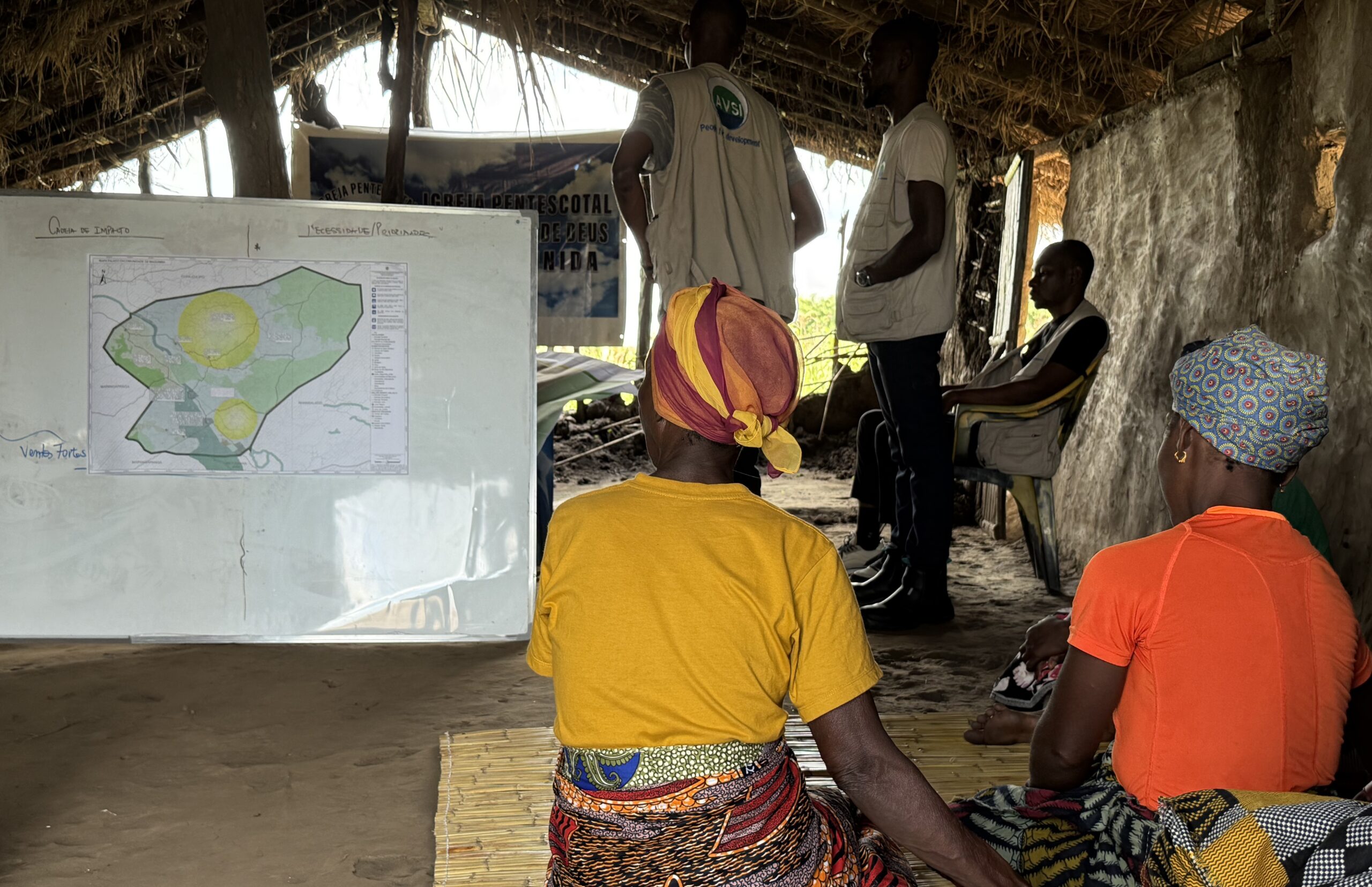
Building Resilience in Mozambique: Protecting Children from Natural Disasters
Mozambique is a land of immense natural beauty, but [...]
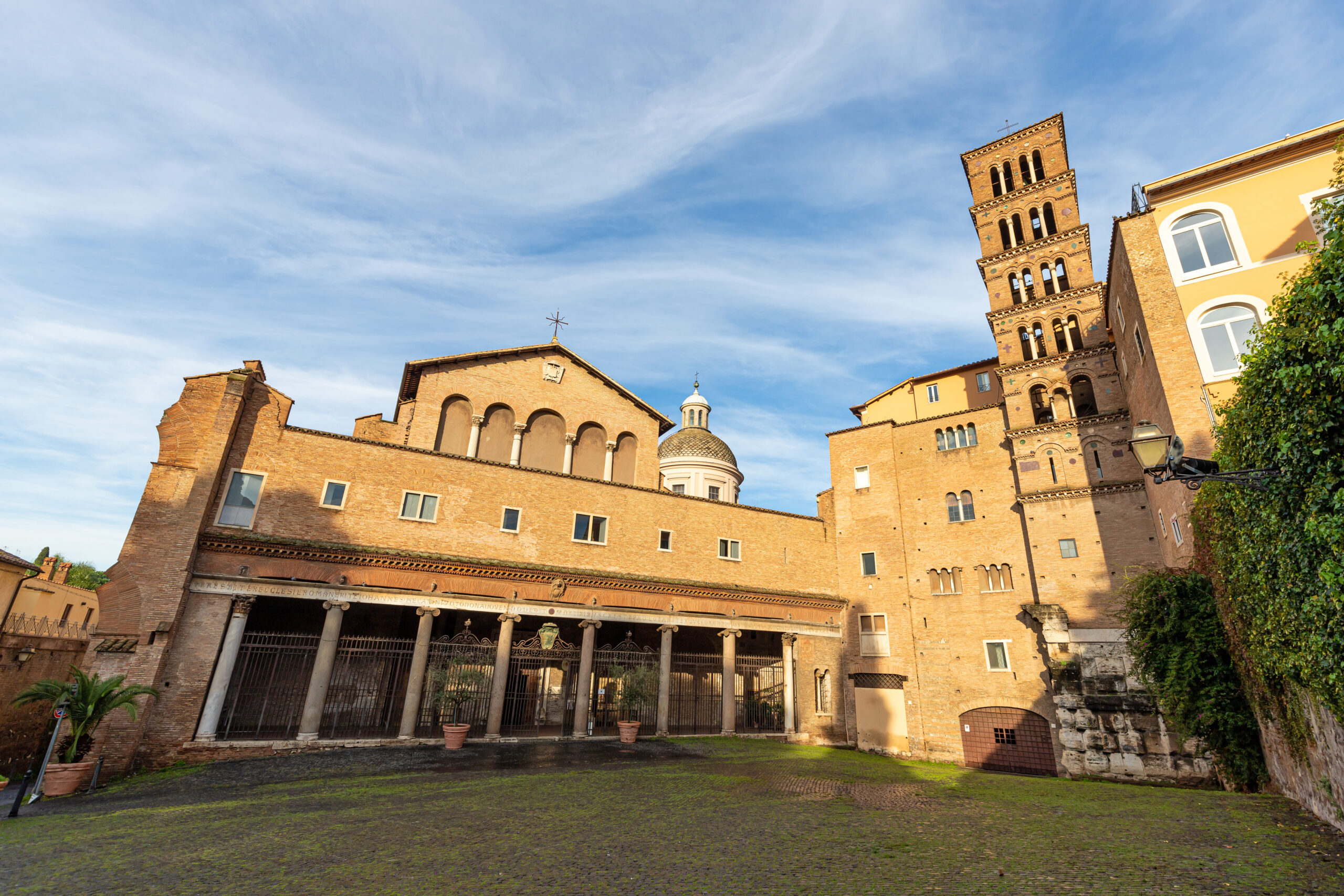
Unlocking the Secrets of the Caelian Hill
What if you could explore ancient ruins not [...]
Who We Have Worked With