Supporting Operational Activities and Decision-Making Through GIS GIS [...]

Atlas of Childhood (at risk) -2020 Edition
Diego Mazzocchini2026-03-10T11:55:20+01:00The eleventh edition of the Atlas of Children at Risk highlights the profound inequalities that have marked our country since the early years of childhood.

Social enterprise Con i bambini
Dina Berjawi2026-05-27T13:12:19+02:00Beyond the map: a WebGIS system based on ArcGIS [...]
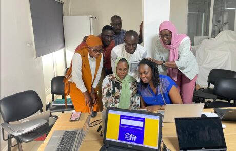
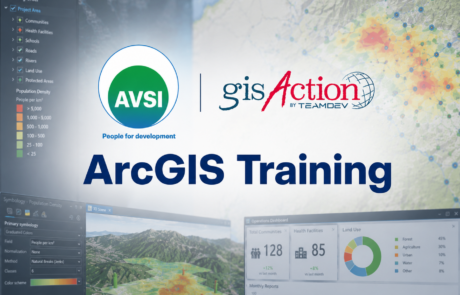
FIT! Sénégal: Opportunities for Young People
Dina Berjawi2026-03-10T11:08:06+01:00FIT! Senegal: the digital platform that transforms training and [...]
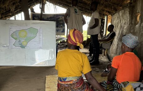
Building Resilience in Mozambique: Protecting Children from Natural Disasters
Dina Berjawi2026-03-10T11:13:12+01:00Mozambique is a land of immense natural beauty, but [...]

Unlocking the Secrets of the Caelian Hill
Dina Berjawi2026-03-10T11:15:51+01:00What if you could explore ancient ruins not [...]
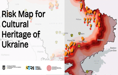
Risk Map for Ukraine Cultural Heritage: Data-Based Protection and Preservation
Dina Berjawi2026-03-10T11:24:03+01:00Risk Map for Ukraine cultural heritage: A data-driven approach [...]
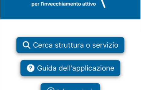
Empowerment for the Elderly with Innovation
Dina Berjawi2026-03-10T11:26:09+01:00Technology and Innovation for a More Inclusive Community [...]
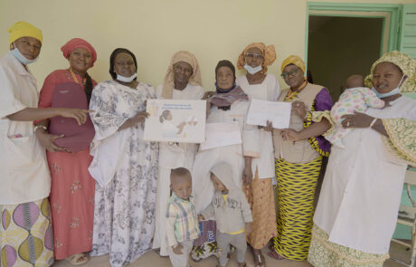
Terre des hommes in Mali: Improving Maternal and Newborn Health
Dina Berjawi2026-03-10T11:28:46+01:00Terre des Hommes & gisAction’s StoryMap Initiative for healthcare [...]
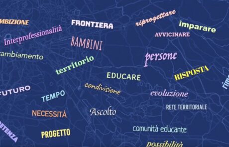
Tornasole: storytelling for educational communities
Diego Mazzocchini2026-03-10T11:31:13+01:00The StoryMap developed for the Tornasole project tells the story of the intervention aimed at combating educational failure and school dropout in the V, VI, and VII districts of Rome

Mapping Social Issues: The Role of GIS in Mazzini School’s Homelessness Project
Dina Berjawi2026-03-10T11:33:56+01:00The recent collaboration between the Giuseppe Mazzini Middle [...]
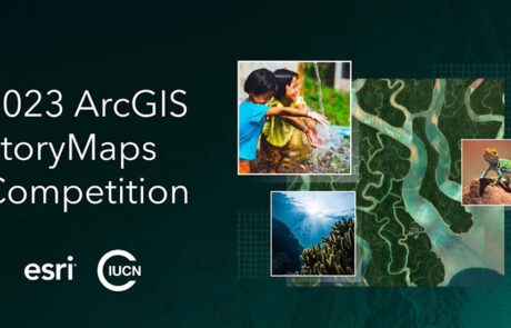
Exploring Conservation Stories: gisAction’s Journey into WWF Italia’s Oases in the 30×30 Challenge
Dina Berjawi2026-03-10T11:39:40+01:00gisAction in Esri ArcGis StoryMaps competition Esri [...]