Supporting Operational Activities and Decision-Making Through GIS GIS [...]
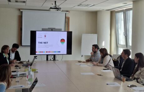
“THE Net” Project: How Health Intelligence Supports Women’s Health in Malawi
Dina Berjawi2026-06-17T11:05:21+02:00Modern international cooperation increasingly relies on infrastructure, organization, and, [...]
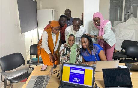
FIT! Sénégal: Opportunities for Young People
Dina Berjawi2026-03-10T11:08:06+01:00FIT! Senegal: the digital platform that transforms training and [...]
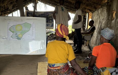
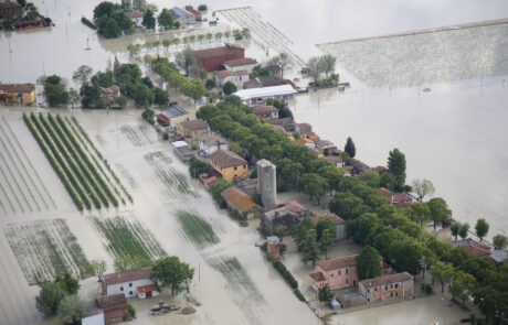
Building Resilience in Mozambique: Protecting Children from Natural Disasters
Dina Berjawi2026-03-10T11:13:12+01:00Mozambique is a land of immense natural beauty, but [...]

Unlocking the Secrets of the Caelian Hill
Dina Berjawi2026-03-10T11:15:51+01:00What if you could explore ancient ruins not [...]
Ravenna’s Climate Told in a StoryMap
Dina Berjawi2026-03-10T11:18:45+01:00How Ravenna Turned Climate Awareness into Community Action – [...]
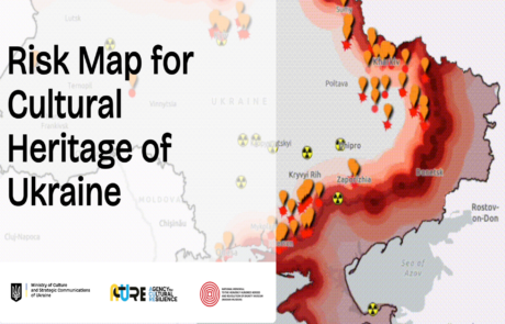
Risk Map for Ukraine Cultural Heritage: Data-Based Protection and Preservation
Dina Berjawi2026-03-10T11:24:03+01:00Risk Map for Ukraine cultural heritage: A data-driven approach [...]
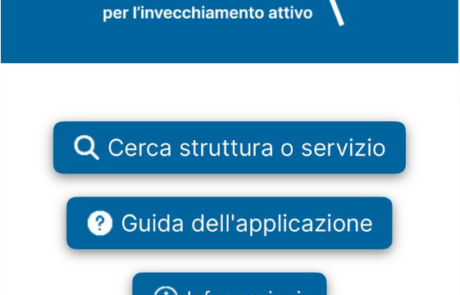
Empowerment for the Elderly with Innovation
Dina Berjawi2026-03-10T11:26:09+01:00Technology and Innovation for a More Inclusive Community [...]
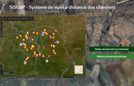
Remote Monitoring of Construction Sites
Diego Mazzocchini2026-03-10T11:48:52+01:00A solution for remote monitoring of construction sites developed by gisAction for Comoé National Park
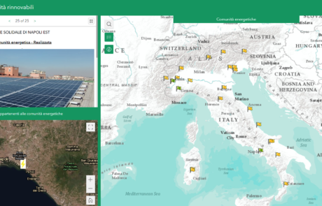
Legambiente Energy Communities
Diego Mazzocchini2026-03-10T12:14:31+01:00gisAction developed an application that allows the participatory mapping of the data of the Energy Communities in Italy.
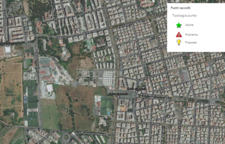
The census of the Somaini park – Arafat of Rome
Diego Mazzocchini2026-03-10T12:20:48+01:00gisAction has designed a workflow to support field census activities based on GIS tools.
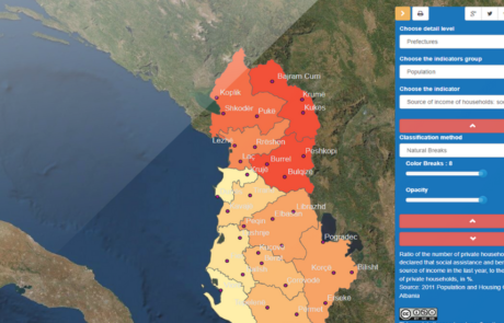
GIS to innovate Albania Census
Mari Minascurta2026-03-10T12:34:34+01:00The National Institute of Statistics of Albania (INSTAT) has introduced GIS technology into its population and housing census program with the support of gisAction