gisAction starring in the creation of a StoryMap in support of LuxDev’s MLI/021 program for rural development and food security.
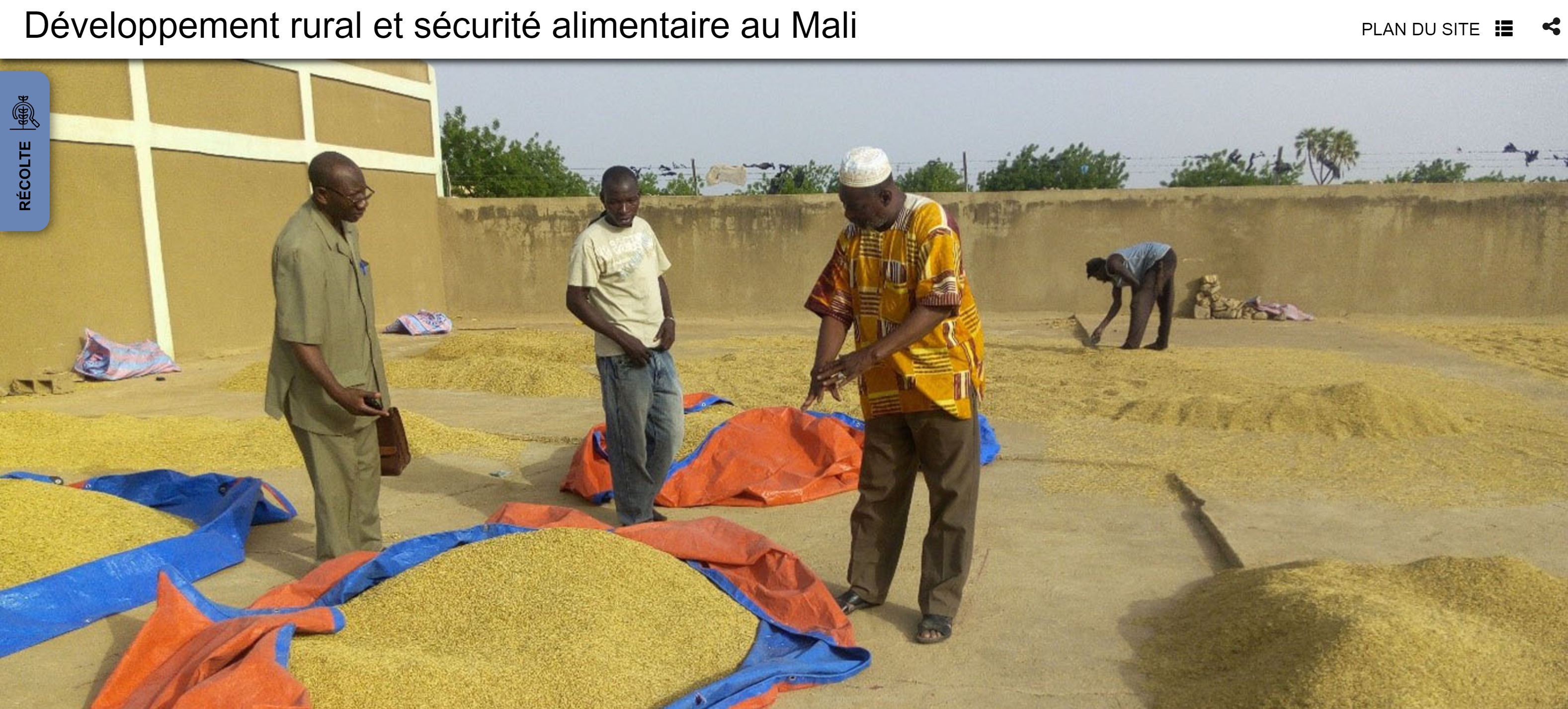
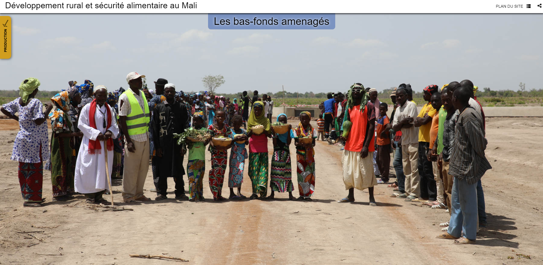
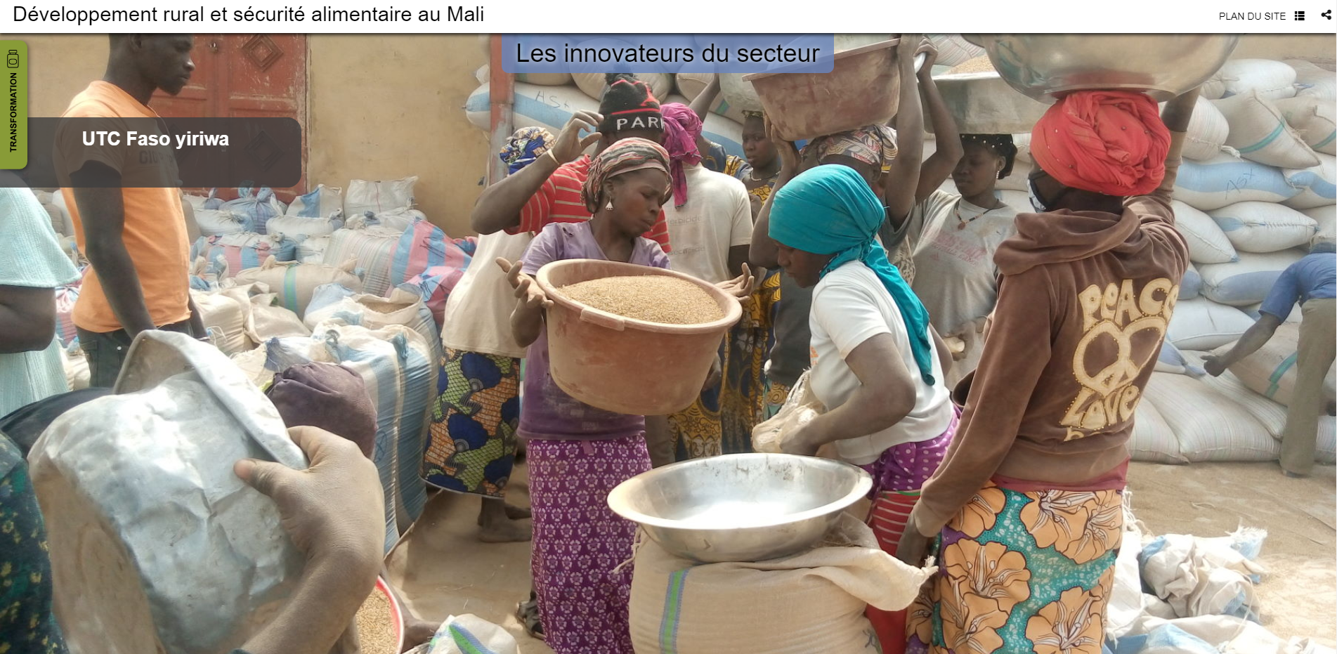
gisAction has been involved in the MLI/021 project by designing and implementing a StoryMap to support the initiative of rural development and food security in Mali of the Luxembourg bilateral cooperation agency LuxDev. A StoryMap as an innovative tool for management and analysis of data collected in the field and, at the same time, able to disseminate the results in an interactive and engaging way.
Needs: an instrument for data management
LuxDev implements in Mali a Cooperation Program to contribute to the reduction of poverty and the promotion of food security, the Indicative Cooperation Program (PIC III). The overall objective is to support the Malian government in its efforts to reduce poverty by supporting inclusive and sustainable growth and reducing food insecurity.
Created within the framework of the PIC III Program, the MLI/021 project focuses on rural development and food security in the southern part of the country, intervening in the promotion of three priority sectors: rice, fonio and sesame. The specific objective is to develop and increase the productivity, sustainability and profitability of the three agricultural sectors.
The project foresaw, on the one hand, the realization of a spatial data infrastructure related to the realizations of the project and, on the other hand, the cartographic census of the Producers’ Organizations and of the beneficiary Medium and Small Enterprises as well as the investments made in the Concentration Zone of the Project in order to make the project interventions transparent.
Solution: GIS for the MLI/021 project
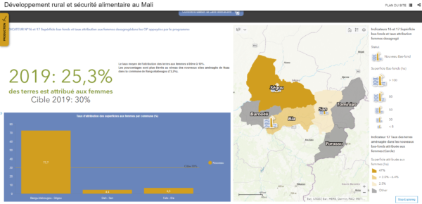
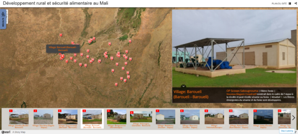
gisAction designed and configured a multimedia-rich StoryMap through ArcGIS Online. The StoryMap proved to be an effective tool for the needs of the project, thanks to its many features including mapping of collected data, sharing of audio and video, and integration of project monitoring sheets. In addition, it offered an overview of the evolution of the interventions implemented in real time.
Benefits:
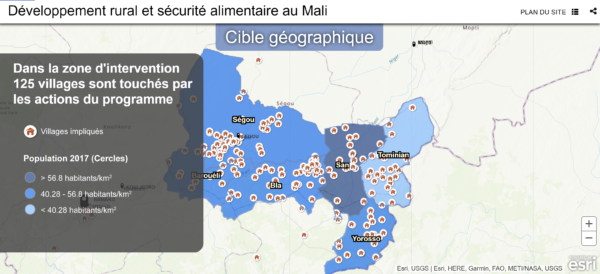
The StoryMap configured for the MLI/021 program offers a twofold advantage; on the one hand, it has proven to be an important tool in support of the project’s goals by allowing the analysis and visualization on a geographical basis of data related to the different stages of implementation of the project initiatives.
On the other hand, the StoryMap offers the opportunity to disseminate results in a way that is more engaging for project stakeholders and the general public. In this regard, the words of Djibril Doumbia, technical assistant of monitoring and evaluation at LuxDev-Mali, are significant:
“The StoryMap configured by gisAction allowed us to become aware of the value of concrete project results, unlike the classic tools we know, especially narrative reports, or static charts.”
The MLI/021 program and the SDGs
LuxDev’s interventions in Mali, linked to the MLI/021 program, are aimed at developing rural areas and strengthening food security in the southern part of the country, and therefore contribute to the achievement of three Sustainable Development Goals:
– Goal #1: No Poverty;
– Goal #2: Zero Hunger;
– Goal #8: Decent Work and Economic Growth.
