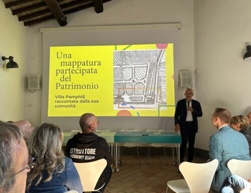
gisAction and Comoé National Park representatives at the Esri User Conference 2024
The annual Esri User Conference, known as the world’s largest GIS conference, is set to take place from July 15-19, 2024, in San Diego, California. This year, the conference, “GIS—Uniting Our World,” aims to promote inclusivity and collaboration through the common language of geography. Attendees will have the opportunity to interact with industry leaders, explore the Map Gallery, connect with Esri technical experts, and discover the latest products and solutions in the Expo and Esri Showcase. Among the many inspiring participants, representatives from Parc national de la Comoé-Direction de Zone Nord-Est will be highlighting the technical innovative project of Comoé National Park for its conservation, implemented by gisAction’s teames.
The Significance of the Esri User Conference 2024
The Esri User Conference 2024, is an important event for GIS professionals worldwide, offering a unique venue to share insights, innovations, and best practices. It serves as a melting pot of ideas, bringing together professionals and enthusiasts from various sectors to investigate how geospatial technology can address global challenges. This year’s focus on unifying the globe through geography emphasizes GIS’s revolutionary power in creating a more inclusive and collaborative future. As part of this effort, the conference will feature the Sustainable World Community Showcase, where GIS solutions for climate change, conservation, humanitarian action, nonprofits, sustainable development, and the SDGs will be displayed. These themes align closely with the core mission of gisAction, which is dedicated to leveraging geospatial technology for conservation and sustainable development.
Addressing Conservation Challenges with Technology
Comoé National Park faces significant challenges, including controlling poaching, reducing agricultural pressures, and rebuilding infrastructure for better access control. To tackle these issues effectively, the park has turned to advanced technological solutions developed by gisAction.
gisAction’s Technological Solutions:
1. Remote Monitoring System: To ensure effective surveillance and management, gisAction has implemented a remote monitoring system using an ArcGIS Hub, operational dashboards, and Survey123 for ArcGIS. These tools enable various stakeholders, including the Donor team, Project Manager, Infrastructure Executive Officer, and Park Director, to monitor the progress of projects remotely. By providing real-time data on the status of works, this system significantly reduces the need for field visits, minimizing risks and enhancing efficiency.
2. Security Information System: At the core of gisAction’s solution is the Security Information System, designed to enhance the safety and communication of field agents. This custom solution, developed over recent years, supports alert processes and operational flow between the field and the office. The “Security control room” allows rangers to interface with real-time data, respond to emergencies, and plan patrols based on field data collected from multiple sources, including smartphones and Garmin devices.
3. Esri Field Apps for Rangers: In accordance with DZNE guidelines, gisAction has designed a workflow for park rangers using Esri field apps such as QuickCapture and Survey123. This system consists of an operational dashboard for charts and statistics and a Web GIS for reporting and spatial analysis. This setup enables rangers to collect, transmit, and visualize data efficiently, resulting in informed decision-making and improved field operations.

A Future Driven by Geospatial Technology
The participation of gisAction and Parc national de la Comoé-Direction de Zone Nord-Est representatives in the Esri User Conference 2024, demonstrates the powerful connection between technology and conservation. Through innovative geospatial solutions, they are addressing critical challenges and paving the road for a sustainable future. As the world gathers in San Diego to celebrate the unifying potential of GIS, the contributions of gisAction to the Comoé National Park stand as a testament to the transformative impact of geospatial technology in uniting our world and protecting our natural heritage.


