From field notes to a map: tracing Mozambique’s agricultural value chains
Much of what is known about an agricultural value chains begins with something remarkably simple: a handwritten note.
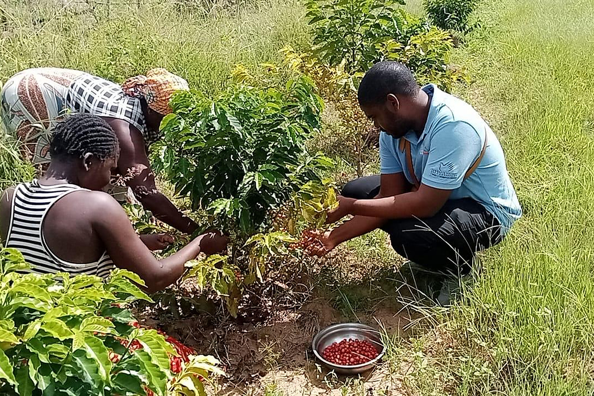
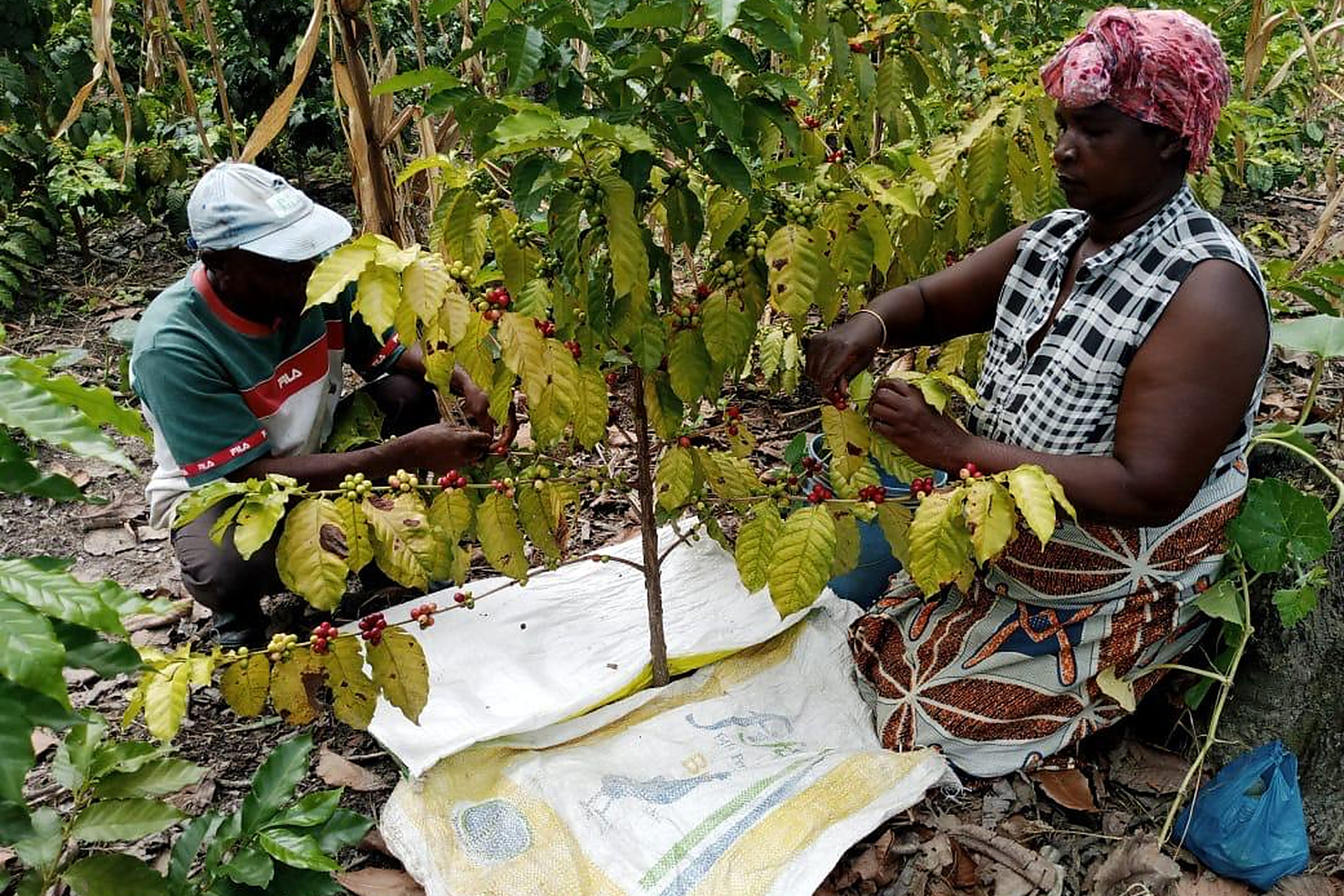
On a coffee plot in Mozambique, an agricultural extension agent walks among the plants, observing what is happening and recording it on paper. Extension agents are often the link between farmers and the support available to them, visiting farms to offer practical advice and gather information directly from the field.
When the visit is over, those notes leave the farm too. They may reach a district office and find their way into a spreadsheet. Elsewhere, another file holds certification records, another harvest figures. A cooperative keeps track of how its members are doing.
The information is there. The challenge is seeing what it says when brought together.
Between January 2025 and June 2026, Mais Valor 2, a project implemented by UNIDO and financed by the Italian Agency for Development Cooperation (AICS) and Ministry of Foreign Affairs and International Cooperation (MAECI), worked to do just that across Mozambique’s tropical fruit and coffee value chains.
What a number can mean on a farm
For a farmer, the days after harvest can make a considerable difference.
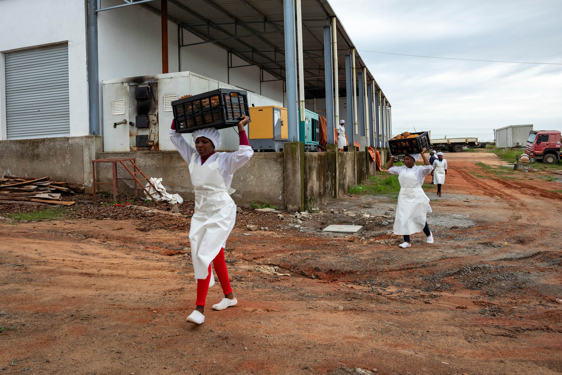
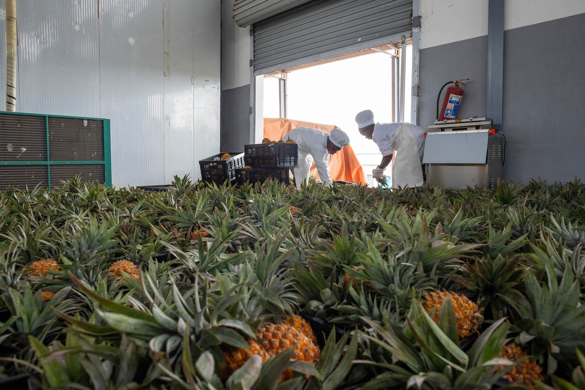
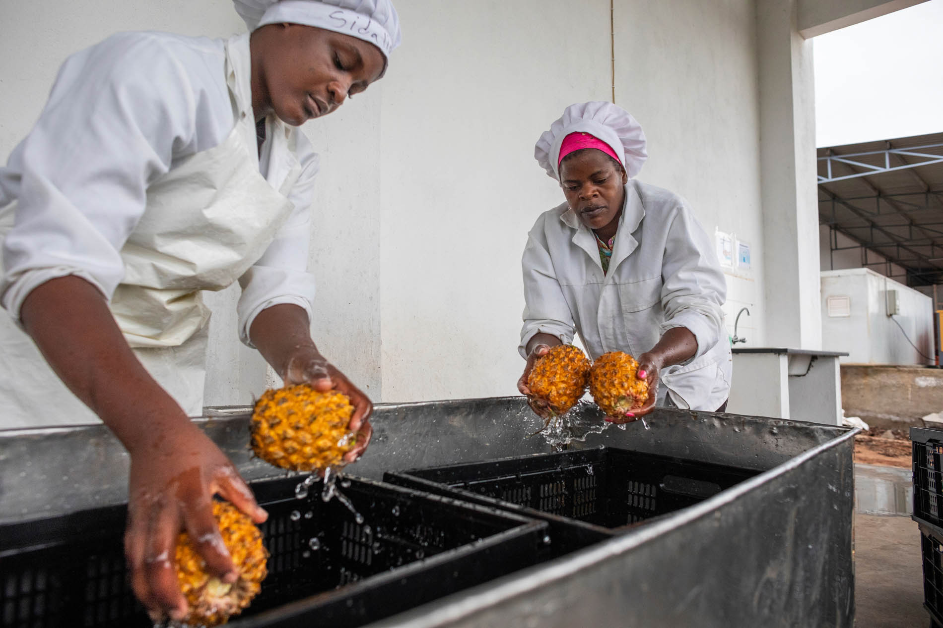
Without enough drying, storage and cold-chain infrastructure, a smallholder may have little choice but to sell as soon as a crop is harvested. Neighboring farmers may be doing the same. Produce is plentiful, buyers have more choice and waiting for a better price may simply not be an option. Across Mozambique, post-harvest losses average around 30 per cent of production.
Other obstacles are less visible. Certification can provide access to better markets but requires records that farms relying on paper-based systems may struggle to produce. Technical advice often depends on an extension agent being able to reach the farm. Women and young people, despite providing much of the labor, have less access to inputs and training and limited participation in the stages where more value is generated.
One farmer may know exactly what is holding back their crop or business. What is much harder to know is whether the same problem is playing out across a district or where support is missing altogether.
When the notes reach the map
This is where the journey of that information changes.
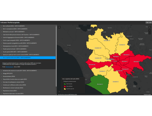
Through Mais Valor 2, records from across the tropical fruit and coffee value chains have been brought together on a digital mapping platform. More than 28 verifiable indicators, including production volumes, certifications, extension coverage and the performance of micro and small enterprises, can now be viewed in one place.
And suddenly, information that was difficult to connect becomes easier to see.
A thin patch of extension coverage can appear as a gap on a map. Certification data can show where producers may need support to meet required standards. Figures on women and young people can show where they are participating and where they are not.
Because the platform updates as field data is received, these gaps can be spotted during the agricultural season, when there is still time to respond.
The platform, designed and implemented by gisAction using Esri ArcGIS technology, also opens part of that information beyond the project team. Through the public Mais Valor 2 Hub, anyone with a browser can explore the value chains district by district. A cooperative can look at the same figures as a project partner or donor.
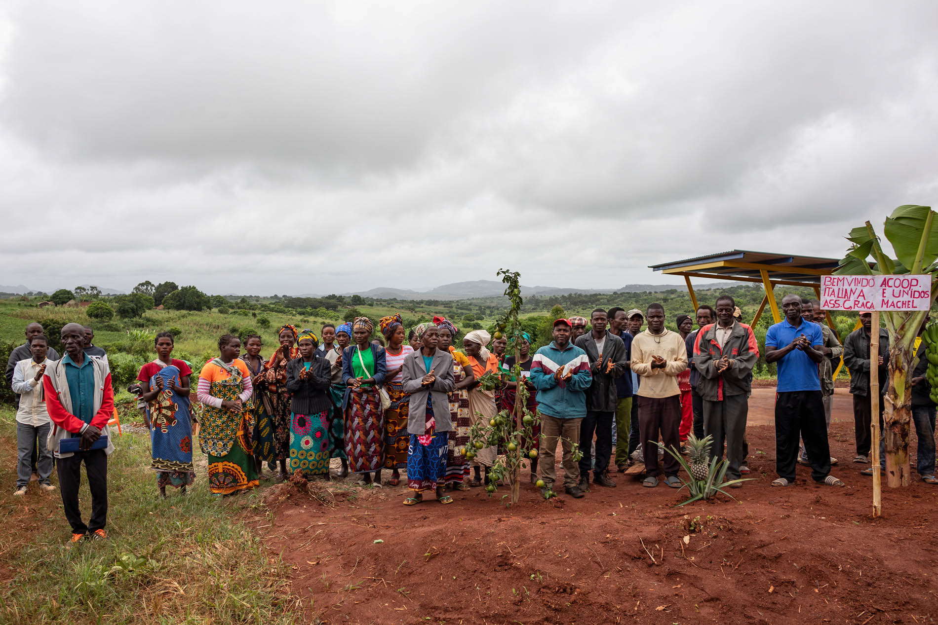
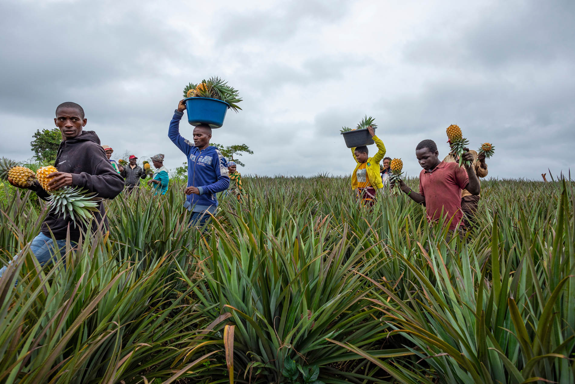
Four illustrated StoryMaps, published under Cultivating Value, take the information one step further. Photographs, maps and data bring readers closer to the people behind the value chains, the innovations being introduced and the results taking shape. The second, third and fourth StoryMaps continue that story, turning rows of programme data into something that can be explored and understood.
Because behind every point on a map is something happening on the ground.
A certification record can represent a producer working towards a higher-value market. A gap in extension coverage can point to farmers who may need technical support. A figure on women’s or young people’s participation can show whether they are being reached rather than leaving that question to assumption.
Making sure the map stays useful
Technology alone does not make information useful.
The gisAction team worked with the Mais Valor 2 project team in Mozambique to understand what each indicator means, how information should be collected and how to spot a figure that may need checking. The operating manual was developed jointly, while training covered field data collection, keeping the dashboards current and producing maps.
The aim was not simply to leave behind a platform, but the practical knowledge to use it.
And that takes us back to the coffee plot.
The notebook has not disappeared. An extension agent can still walk among the plants, see what is happening and write it down.
What has changed is what can happen to those notes afterwards.
A record from one farm can join information from other farms, cooperatives and enterprises. A pattern can emerge. A gap can become visible. Information collected close to where crops are grown can travel far enough to help inform what happens next.
The information still begins in the field. It just no longer has to end there.
Who we worked with
The United Nations Industrial Development Organization (UNIDO) is a specialized UN agency that promotes industrial development for poverty reduction, inclusive globalization and environmental sustainability. Established in 1966 and formalized as a UN specialized agency in 1985, it’s headquartered in Vienna, Austria, with 173 member states and a global network of field offices. Its work centers on what it calls inclusive and sustainable industrial development, helping developing countries and emerging economies build stronger, greener industries and value chains, from agro-processing to renewable energy