Supporting Operational Activities and Decision-Making Through GIS
GIS training helps organizations collect, visualize, manage, and analyze geographic information to support operational activities and decision-making. Through mapping workflows, geographic data visualization, and field data collection tools, GIS supports a clearer understanding of territorial dynamics and improves access to structured information.
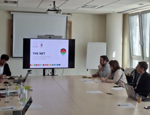
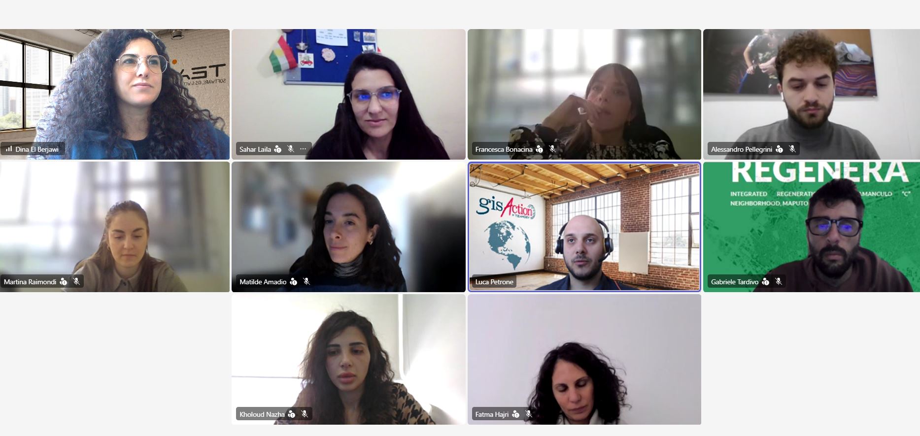
To strengthen these capabilities, gisAction delivered a practical training program to Fondazione AVSI focused on the use of the ArcGIS ecosystem. The training introduced participants to the foundations of GIS and explored how geographic tools can support operational workflows through mapping, data collection, visualization, and monitoring activities.
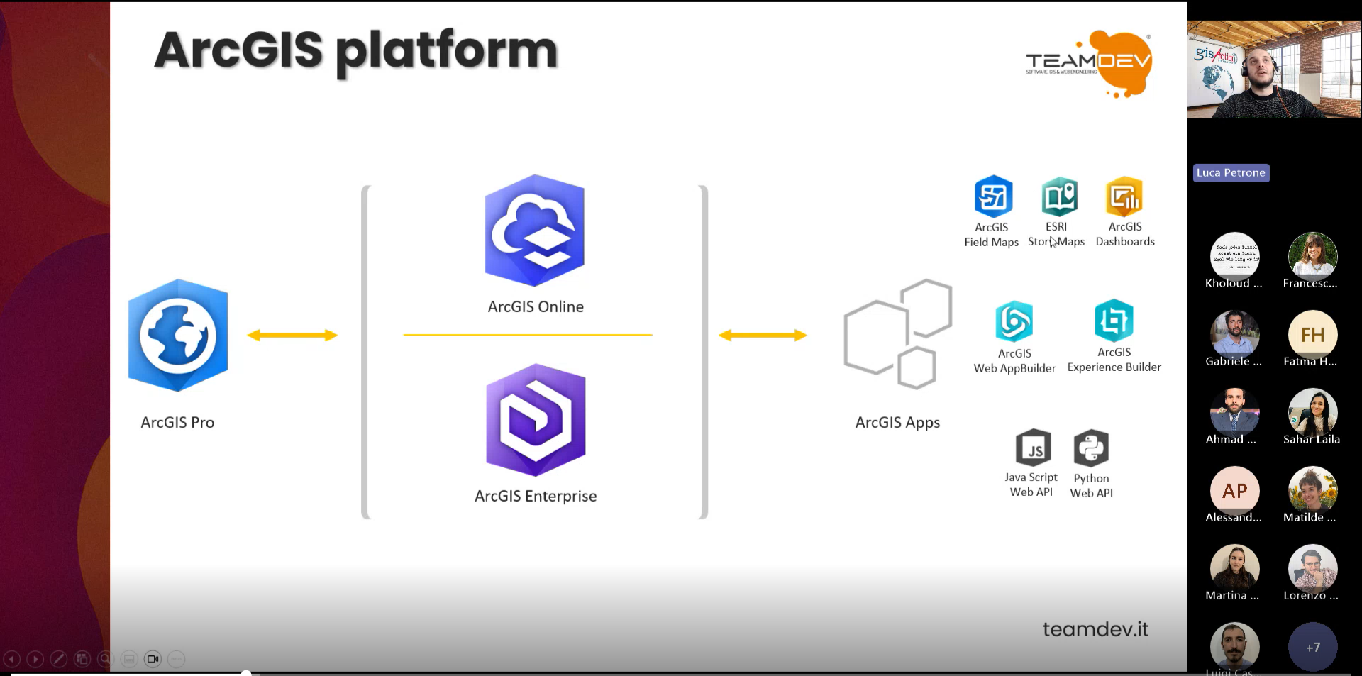
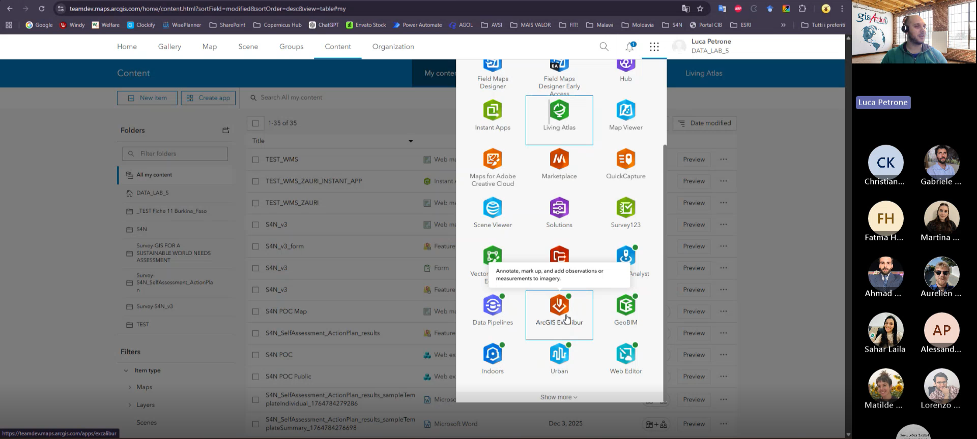
The sessions covered the basics of ArcGIS Pro, the collaborative capabilities of ArcGIS Online, map creation using existing datasets, the use of ArcGIS Living Atlas, operational dashboards, and digital field data collection with ArcGIS Survey123. Rather than focusing only on software functions, the training was designed around practical geospatial workflows and real operational needs.
For organizations managing activities across multiple territories, GIS can help transform scattered information into a clearer operational picture. Maps allow teams to visualize activities geographically, identify patterns, monitor interventions, and communicate information in a more accessible and structured way.
ArcGIS Pro and the Basics of GIS
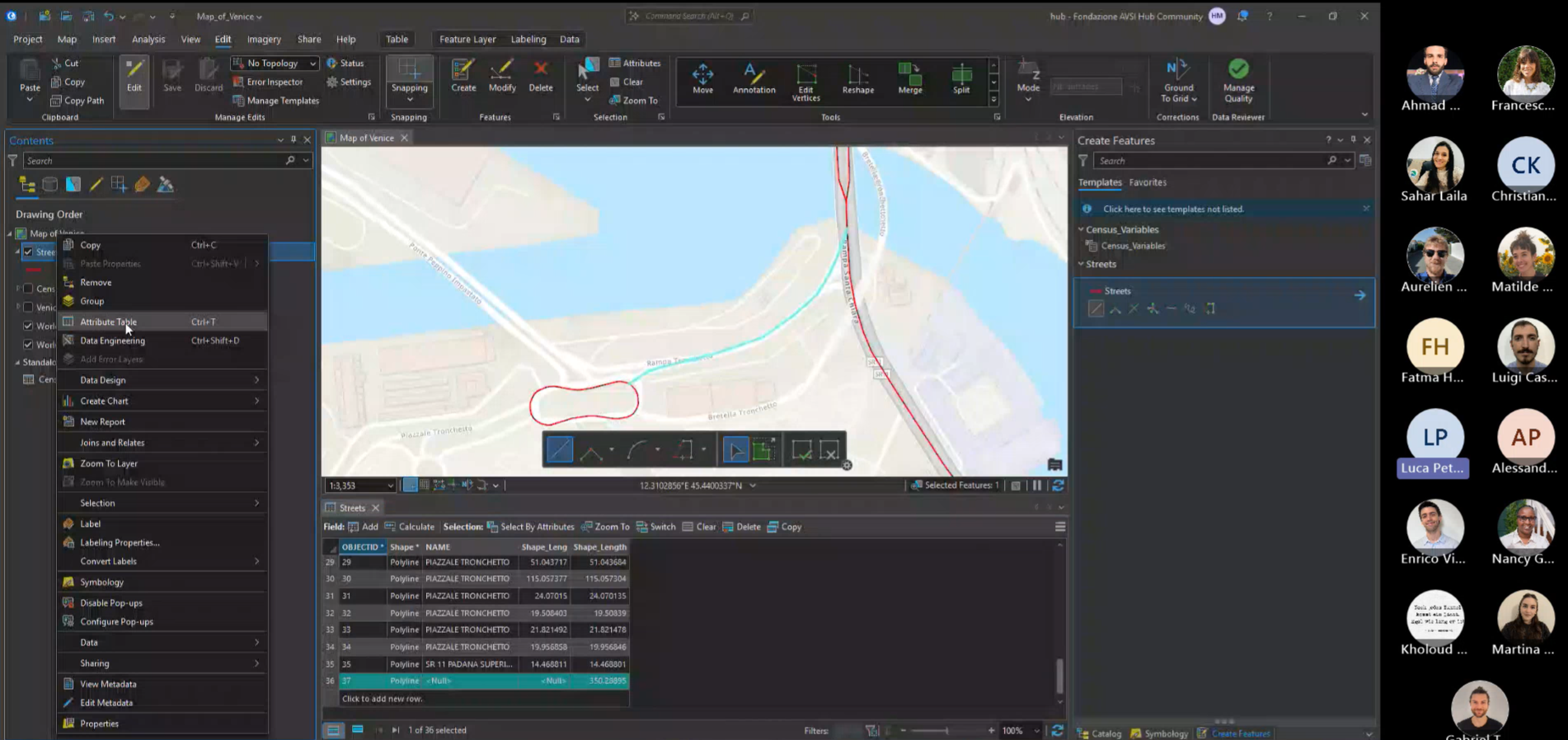
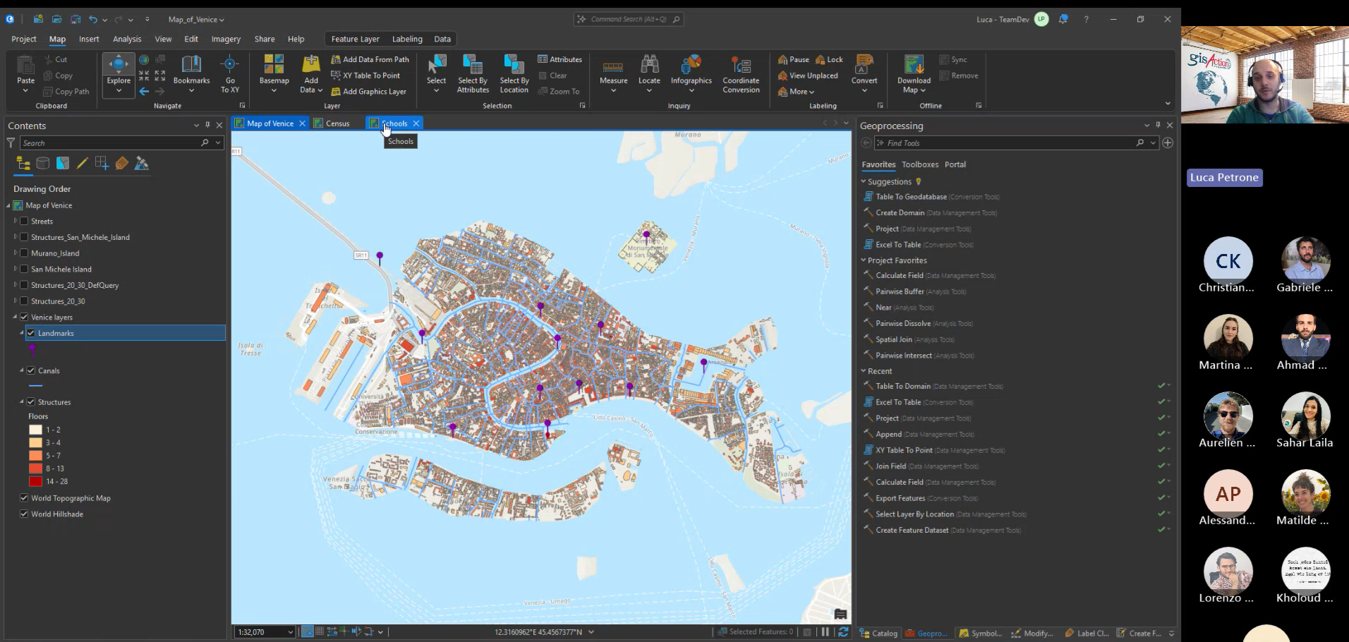
The training started with the fundamentals of ArcGIS Pro and the structure of geographic information. Participants explored how spatial data is organized, how layers work, and how geographic information can be connected to operational activities and reporting workflows.
One of the practical exercises focused on creating maps using existing organizational data. Participants worked with datasets already available within their workflows and learned how to organize information, style layers, and create thematic maps capable of improving data interpretation and spatial visualization.
This approach helped demonstrate how GIS can add value even to information that organizations already collect daily through spreadsheets, reports, and field activities.
ArcGIS Online and Living Atlas
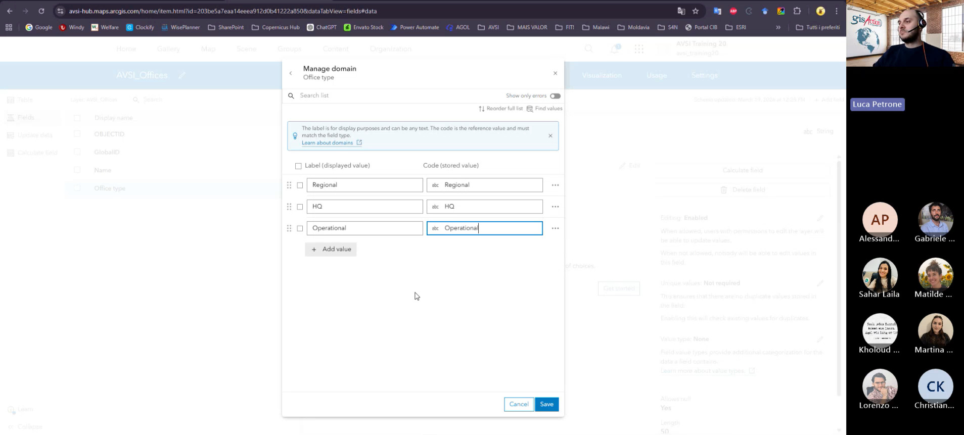
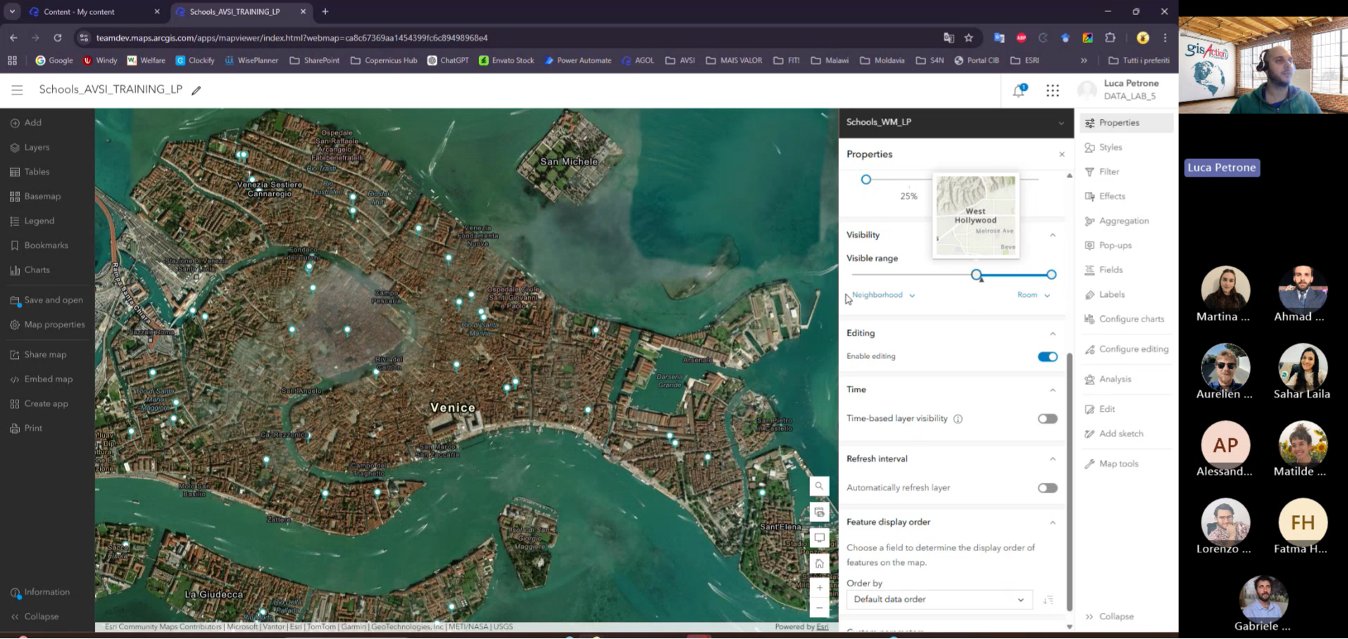
Another important part of the training focused on ArcGIS Online and collaborative mapping workflows. Participants explored how web maps and hosted layers can simplify information sharing between teams and improve access to updated geographic information.
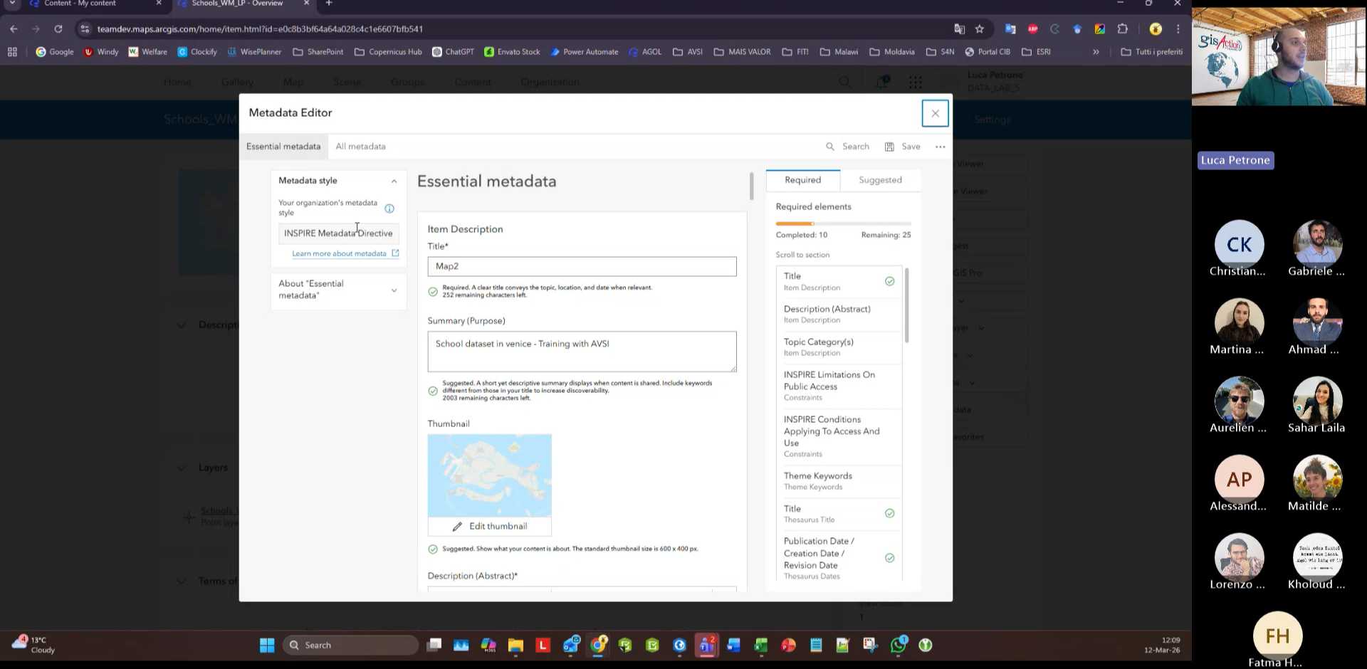
The sessions also introduced Living Atlas, which provides access to authoritative geographic datasets, satellite imagery, demographic information, and environmental layers. These resources can help organizations enrich their spatial analysis and better contextualize activities within specific territories.
Through these tools, participants were able to understand how GIS is not limited to desktop analysis but can also become a collaborative environment that supports coordination, operational monitoring, and communication across different teams.
Dashboards and Survey123 for Operational Monitoring
The training also explored the use of ArcGIS Dashboards and Survey123.
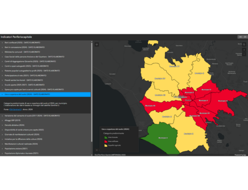
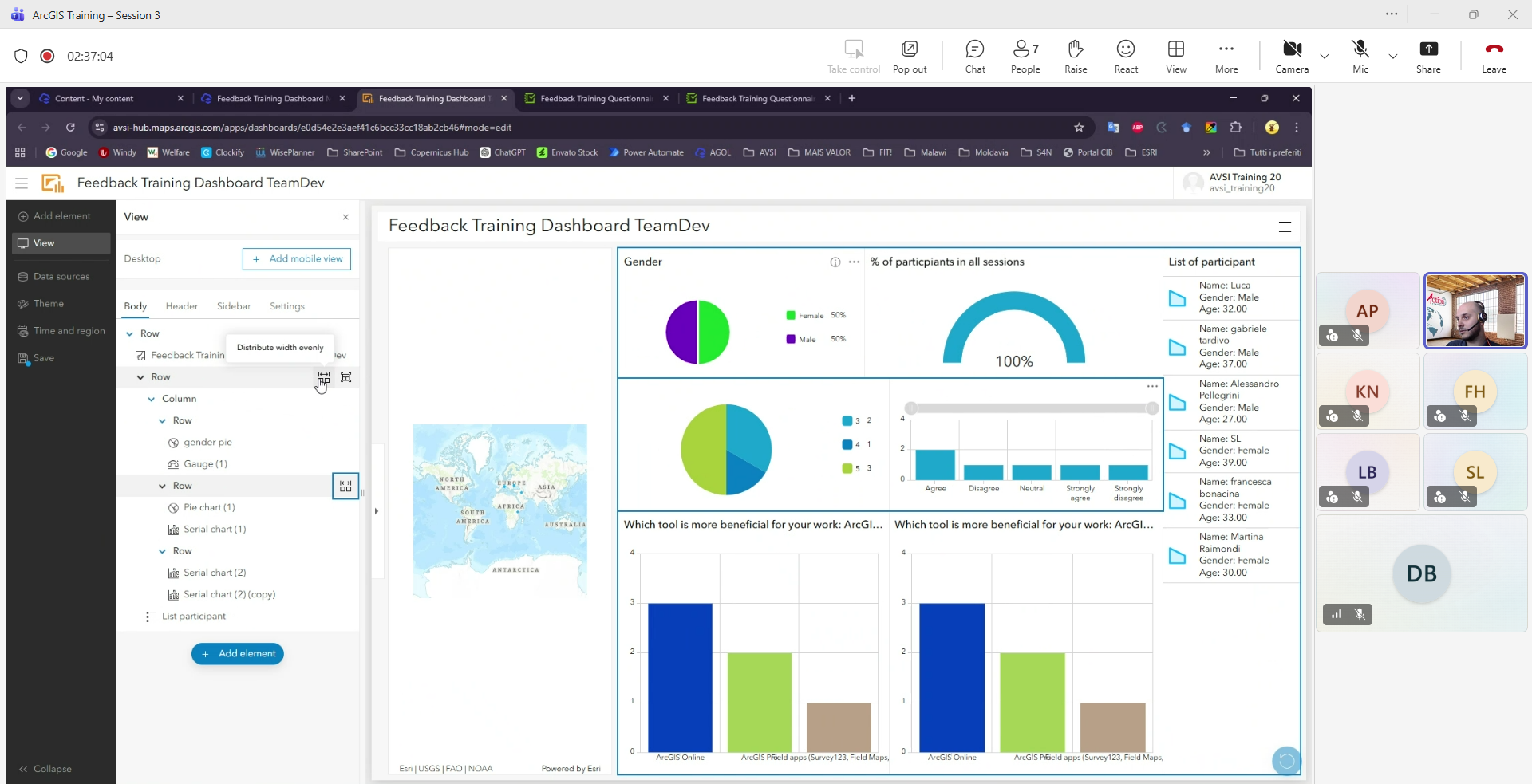
Dashboards allow organizations to visualize maps, indicators, charts, and operational information within a single environment, helping teams monitor activities and improve situational awareness. Participants explored how dashboards can support reporting processes and provide a clearer overview of ongoing operations through geographic data visualization.
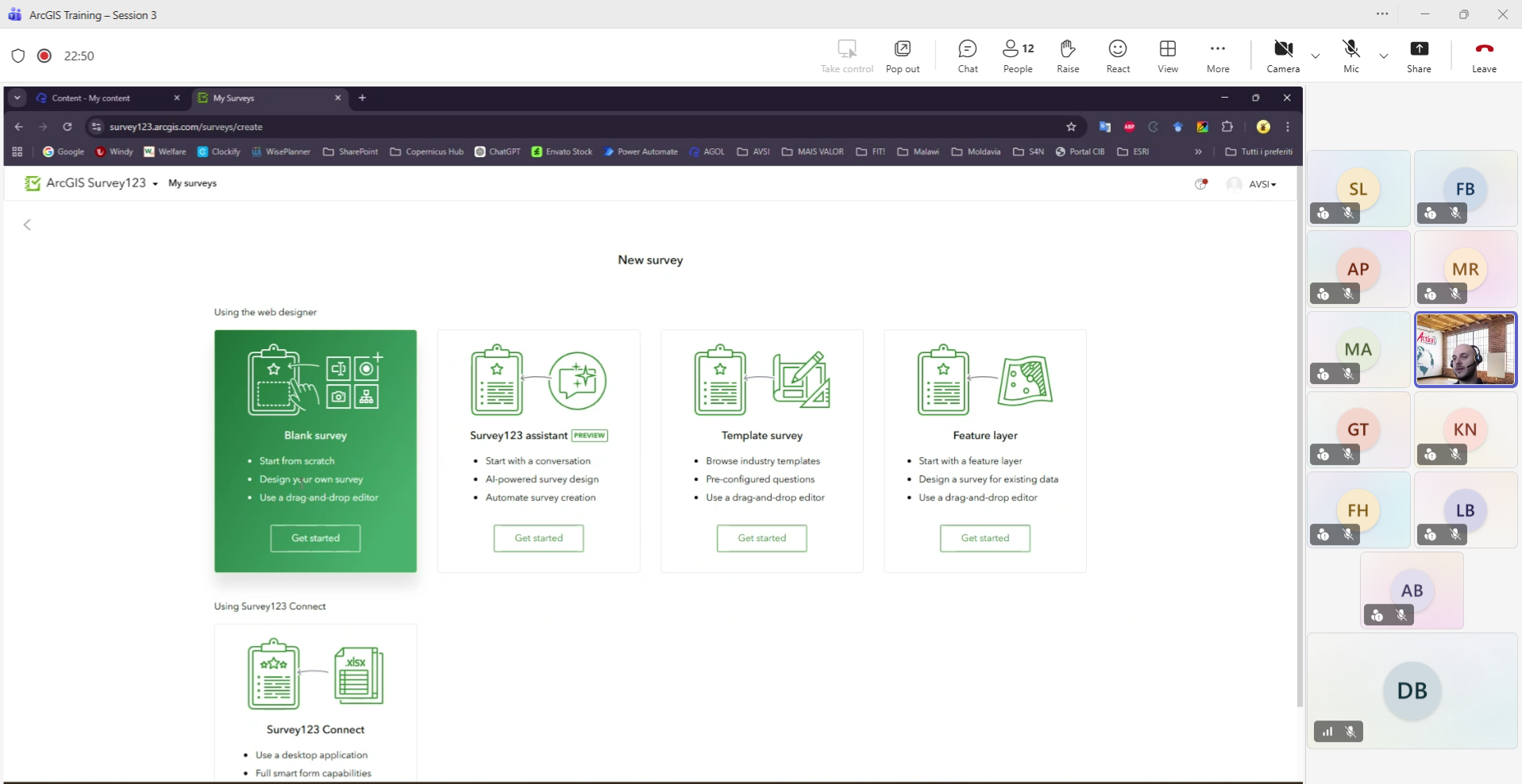
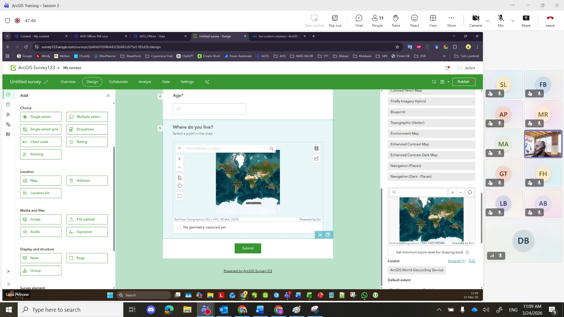
Survey123 introduced participants to digital field data collection workflows. The sessions covered the creation of smart forms, geographic data capture, photo collection, and automatic synchronization of information.
For organizations operating across different territories, having structured and geographically referenced field data can significantly improve the quality, accessibility, and reliability of operational information.
How GIS Supports Operational Workflows
One of the central aspects of the training was understanding how GIS tools can support operational workflows beyond map creation alone.
Geographic information systems help organizations centralize data, simplify territorial analysis, and maintain a clearer overview of activities distributed across multiple locations. Through interactive maps, dashboards, and digital forms, teams can monitor activities more efficiently and maintain updated geographic information in a shared environment.
The integration between desktop GIS, web mapping applications, dashboards, and mobile data collection tools also helps create more connected workflows between office activities and field operations.
A Practical Approach Focused on Real Workflows
One of the most valuable aspects of the training was its practical orientation. The sessions continuously connected GIS tools to real operational scenarios and everyday activities rather than focusing only on technical theory.
Participants were encouraged to think about how GIS could support their own work, from organizing geographic information more effectively to improving communication, operational monitoring, and reporting processes.
This practical perspective helped make GIS more accessible, especially for participants approaching these tools for the first time.
Listening to Participant Feedback
At the end of the training, gisAction conducted short interviews with participants to collect feedback on the experience and understand how the tools introduced during the sessions could support future operational activities.
Several participants highlighted the usefulness of geographic visualization and the importance of connecting field information with decision-making processes. The feedback also confirmed the value of maintaining a practical and accessible approach when introducing GIS methodologies to multidisciplinary teams.
The training represented an opportunity not only to learn technical tools, but also to explore how geographic thinking can improve the way organizations manage information, understand territories, and support operational workflows through spatial data.