Discover the projects carried out by gisAction in the fields of international cooperation, territorial management, environment, and digital transformation of Sustainable Development actors. Our solutions based on GIS and Web GIS technologies, tools for collecting geolocated data, and for graphical and cartographic visualization of geographic Open Data, support NGOs, public authorities, and global institutions.
Explore the success stories that demonstrate how geospatial intelligence can improve planning, communication, and resource management.
Projects
- All
- GIS & mapping
- GIS for Climate Change & Disaster Risk Reduction
- GIS for Conservation
- GIS for Cultural Heritage
- Gis for Data Value Chain
- GIS for International Cooperation & MEAALS
- GIS for National Statistics
- GIS for Urban Regeneration
- Innover dans les flux de travail
- Mapping et SIG
- Measuring results
- Services
- Solutions
- Storytelling and Advocacy
- Workflow innovation
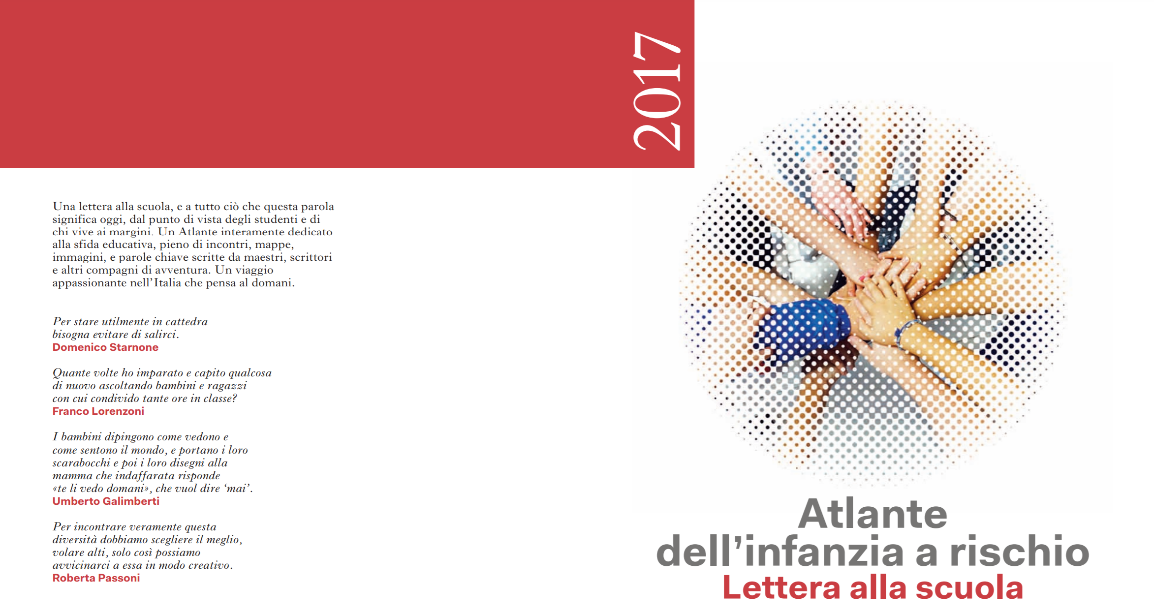
Atlas of Childhood (at risk) – 2017 Edition
Atlas of Childhood and StoryMap dedicated to school. Save the Children's 2017 "Letter to School" edition analyzes the conditions of children and adolescents at risk of exclusion.
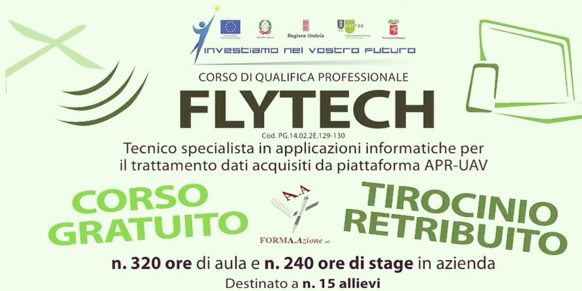
Flytech project: a professional qualification course
A training course with the participation of gisAction through training lessons on the use of GIS technology.
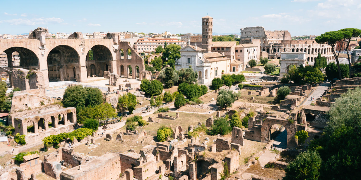
Summer School “Preventive archaeology and proximity remote sensing”
A Summer School to train professionals in the archaeological sector and cultural heritage on the use of new technologies to be applied to the enhancement of the Italian historical and cultural heritage.
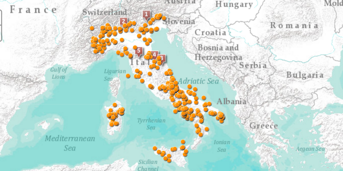
The development of the renewable energy in Italian Municipalities
StoryMaps and informative portal for Legambiente, to present the development path of renewable sources in Italian municipalities.
Who We Have Worked With