Geographical data sharing system and tools for the visualization of PTCP (Provincial Coordination Territorial Plan) datasets.
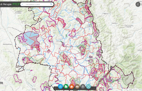
Geographical data sharing system and tools for the visualization of PTCP (Provincial Coordination Territorial Plan) datasets.
gisAction solution to support the cooperation project is an innovative Monitoring and Evaluation system, the Monitoring Information System.
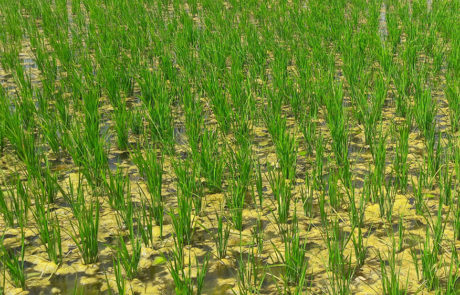
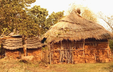
Lux Development created a Cooperation Programme with the aim to support the Government of Mali in its efforts to reduce poverty and food insecurity. For this purpose, Lux Dev involved GisAction to carry out a feasibility study focused on the development of the geographic-based information system for agronomic monitoring and rice yield estimation.