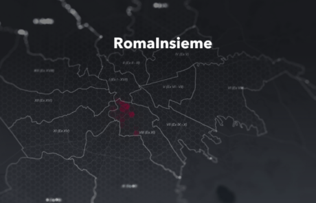
The StoryMap developed for the Tornasole project tells the story of the intervention aimed at combating educational failure and school dropout in the V, VI, and VII districts of Rome
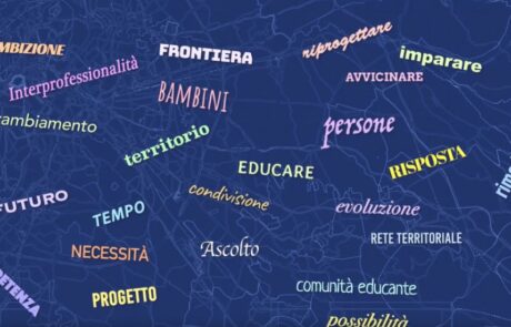
Atlas of Childhood at Risk, Save the Children Italia
Teamdev srl2024-08-26T14:44:54+02:00Maps, graphs and infographics for Save the Children Italy. All data and maps collected were organized as open data and made available to all.
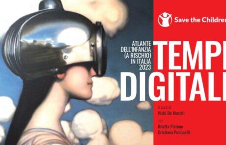
Atlas of Childhood (at risk) 2023 – Save the Children
Diego Mazzocchini2024-09-04T09:41:17+02:00This edition of the Atlas focuses on the state of digitization in Italy among minors.
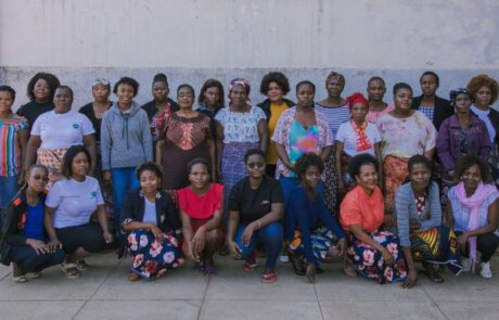
A Monitoring Information System for the “RIGENERA” project in Maputo, Mozambique
Mari Minascurta2024-07-10T09:57:34+02:00Digital and interactive mapping monitoring system to track field activities for the “Rigenera” project in Mozambique
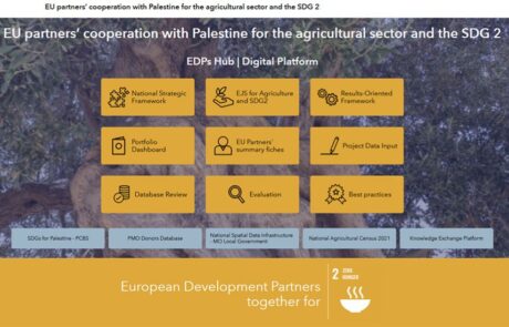
A digital hub to support donors’ cooperation | Palestine case study
Mari Minascurta2024-07-10T10:52:51+02:00Innovating cooperation: a digital hub for West Bank donors
From Words to Data: Save the Children’s Data Hub
Diego Mazzocchini2024-08-27T12:28:39+02:00An open virtual space for the constant collection and dissemination of information, data, analysis, and research on childhood and adolescence.
Monitoring poverty and inequality: the benefits of digital tools
Teamdev srl2024-08-28T10:12:31+02:00The StoryMap developed for the Litmus project chronicles the intervention to combat educational failure and school dropout in Rome's municipalities V, VI and VII
Caritas Report on Poverty: the StoryMap
Diego Mazzocchini2024-08-27T12:14:27+02:00The StoryMap designed for Caritas Umbria uses the potential of geographic storytelling to tell the story of critical poverty-related issues.

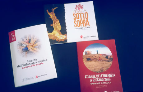
Atlas of Childhood (at risk) – 2022 Edition
Diego Mazzocchini2024-09-04T09:44:17+02:00The Atlas of Childhood 2022 provides a view of the conditions of childhood in Italy.
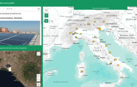
Legambiente Energy Communities
Diego Mazzocchini2024-09-06T11:40:06+02:00gisAction developed an application that allows the participatory mapping of the data of the Energy Communities in Italy.
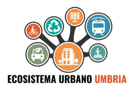
Innovating with data: the web app for Ecosistema Urbano
Diego Mazzocchini2024-08-27T12:21:03+02:00Development of a web app to visualize the data of the Ecosistema Urbano report of Legambiente Umbria
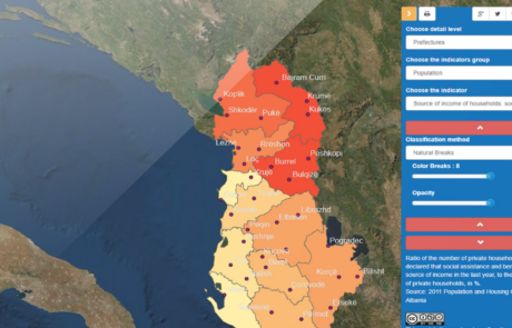
GIS to innovate Albania Census
Mari Minascurta2024-07-30T11:23:41+02:00The National Institute of Statistics of Albania (INSTAT) has introduced GIS technology into its population and housing census program with the support of gisAction