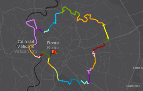
gisAction created a StoryMap in support of the GRAB, thanks to which it was possible to share the entire project online and to ensure the interaction.
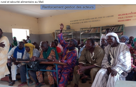
StoryMap for Rural development and Food Security in Mali
Diego Mazzocchini2025-06-25T10:48:09+02:00gisAction has been involved in the MLI/021 project by designing and implementing a StoryMap to support the initiative of rural development and food security in Mali.
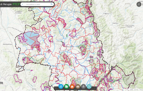
Platform for data sharing, visualization and collaboration built for the Province of Perugia
Diego Mazzocchini2024-08-28T10:51:23+02:00Geographical data sharing system and tools for the visualization of PTCP (Provincial Coordination Territorial Plan) datasets.
Atlas of Childhood (at risk) – 2018 Edition
Diego Mazzocchini2024-09-04T10:12:02+02:00Atlas of Childhood and StoryMap: Save the Children's 2018 edition "Children's Peripheries" travels the suburbs of Italy to describe the difficulties of the children who live there.

Flytech project: a professional qualification course
Diego Mazzocchini2024-09-06T11:51:22+02:00A training course with the participation of gisAction through training lessons on the use of GIS technology.
