gisAction has been supporting Save the Children in this project since the 2011 edition of the Atlas and the main tool it uses is the GIS.


gisAction has been supporting Save the Children in this project since the 2011 edition of the Atlas and the main tool it uses is the GIS.

GIS to identify the italian provinces where the economic impact on minors, teenagers and their families have been more significant, due to the pandemic and the forced closure of productive activities.

StoryMap “Outstanding in motion” for Save the Children Italia

There is no excerpt because this is a protected post.
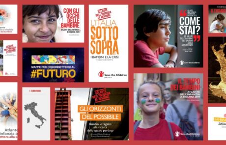
Atlas of Childhood and StoryMap: Save the Children's 2019 "Children's Time" edition provides an overview of the changes taking place in our country.
An Atlas dedicated to migrant minors who arrive alone in our country, on their way to integration.
Atlas of Childhood and StoryMap: Save the Children's 2018 edition "Children's Peripheries" travels the suburbs of Italy to describe the difficulties of the children who live there.
Atlas of Childhood and StoryMap dedicated to school. Save the Children's 2017 "Letter to School" edition analyzes the conditions of children and adolescents at risk of exclusion.