Esri selects gisAction as Conservation Program partner.
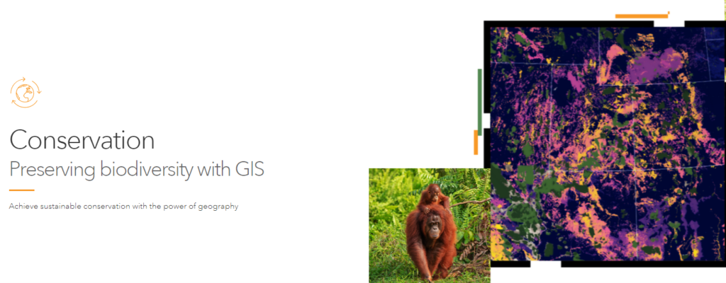
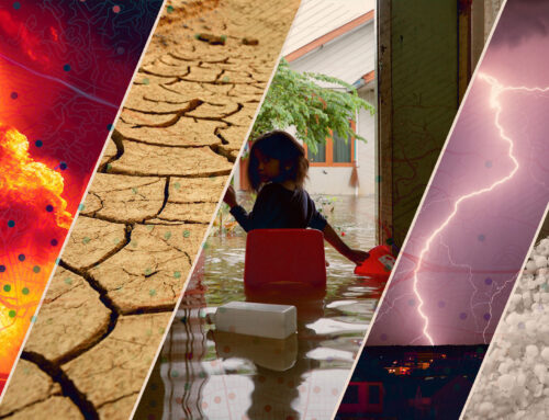
Esri Conservation Program is an initiative to promote the use of geographical tools in the challenge for the conservation of natural resources and biodiversity. Institutions and organizations daily working for sustainable management of natural areas face the complexity of climate changes due to the numerous threats arising from human activities and uncontrolled growth.
GIS and geographical technologies are indispensable tools to better address the transformations affecting natural resources, by offering the possibility to monitor through real-time information, collect geospatial data, create interactive maps, and a lot more.
Strategy 1 – Conservation Land Management
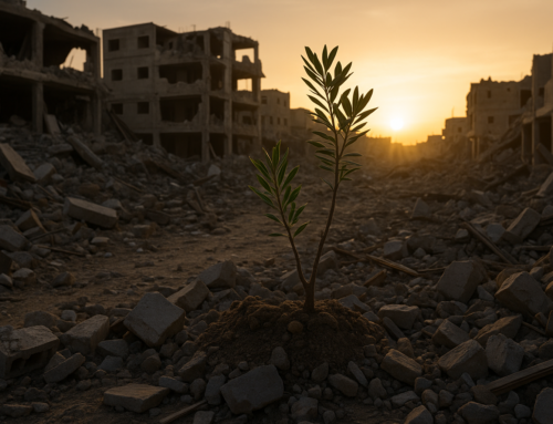
Climate changes and the increasing expansion of human activities seriously endanger biodiversity conservation; for this is fundamental to ensure the protection of protected areas.
Thanks to Esri Conservation Program it is possible to use solutions thought to promote the optimal management of protected areas, through:
- Tracking of illegal activities such as poaching or deforestation
- Monitoring of spatial wildlife data
- Accident monitoring to ensure the safety of humans and animals
- Monitoring conflicts between species and between human communities and fauna
- Efficient management of resources and infrastructure
Strategy 2 – Landascape Conservation
The 2030 Agenda calls for a global commitment to land and water conservation by 2030 to halt the dramatic reduction of natural areas, through actions outlined in the 17 Sustainable Development Goals. Geospatial infrastructure is essential to support Indigenous organizations and communities working to achieve this goal.
Integration technologies provided under the program enable holistic conservation planning by promoting community engagement tools and facilitating scenario analysis for land conservation.
- Spatial data database
- Open Science frameworks
- Geodesign tools
- Geographical storytelling with StoryMaps

Why gisAction?
Thanks to professionals’ competencies and the know-how gained in using the geographical tools, gisAction – a TeamDev brand – is the official partner of Esri for the Conservation Program; for this gisAction can provide every service needed to equip organizations with the most advanced geographical tools.
The official partnership is a recognition of the work that gisAction has done for years, which has accompanied non-profit organizations and associations in supporting the process of innovation, in collecting and analyzing data, and in implementing digital and communication tools.
