This content is password protected. To view it please enter [...]
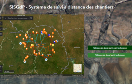
Remote Monitoring of Construction Sites
Diego Mazzocchini2023-11-23T18:03:34+01:00A solution for remote monitoring of construction sites developed by gisAction for Comoé National Park
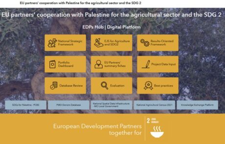
A digital hub to support donors’ cooperation | Palestine case study
Mari Minascurta2023-04-12T10:32:59+02:00Innovating cooperation: a digital hub for West Bank donors
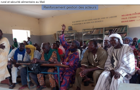
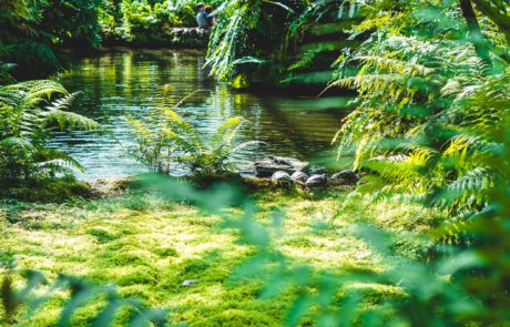
StoryMap for Rural development and Food Security in Mali
Diego Mazzocchini2021-08-19T16:33:03+02:00gisAction has been involved in the MLI/021 project by designing and implementing a StoryMap to support the initiative of rural development and food security in Mali.
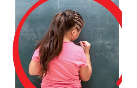
Coronavirus is a devastating blow to the education of the children in poverty
Mari Minascurta2020-06-12T13:10:36+02:00GIS to identify the italian provinces where the economic impact on minors, teenagers and their families have been more significant, due to the pandemic and the forced closure of productive activities.
Hot Spot Analysis
Mari Minascurta2020-06-16T09:52:52+02:00Technical support and GIS analysis of spatial data for ARPA Umbria
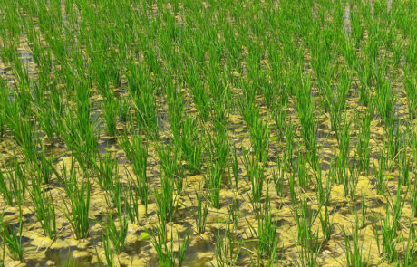
Agricultural monitoring based on GIS and Remote sensing
Mari Minascurta2020-06-16T09:54:49+02:00Lux Development created a Cooperation Programme with the aim to support the Government of Mali in its efforts to reduce poverty and food insecurity. For this purpose, Lux Dev involved GisAction to carry out a feasibility study focused on the development of the geographic-based information system for agronomic monitoring and rice yield estimation.
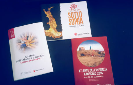
Atlas of Childhood at Risk, Save the Children Italia
Mari Minascurta2020-07-09T11:30:37+02:00Maps, graphs and infographics for Save the Children Italy. All data and maps collected were organized as open data and made available to all.