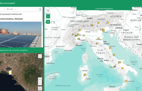
gisAction developed an application that allows the participatory mapping of the data of the Energy Communities in Italy.
Innovating with data: the web app for Ecosistema Urbano
Diego Mazzocchini2024-08-27T12:21:03+02:00Development of a web app to visualize the data of the Ecosistema Urbano report of Legambiente Umbria
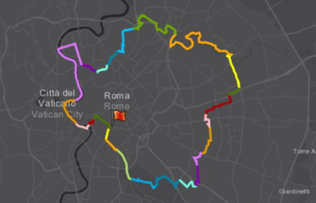
A StoryMap for GRAB: A mobility project of the city of Rome
Mari Minascurta2024-08-28T12:33:43+02:00gisAction created a StoryMap in support of the GRAB, thanks to which it was possible to share the entire project online and to ensure the interaction.
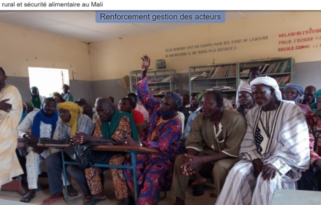
StoryMap for Rural development and Food Security in Mali
Diego Mazzocchini2025-06-25T10:48:09+02:00gisAction has been involved in the MLI/021 project by designing and implementing a StoryMap to support the initiative of rural development and food security in Mali.

The economic impact of the Coronavirus on educational poverty
Mari Minascurta2024-09-16T11:32:37+02:00GIS to identify the italian provinces where the economic impact on minors, teenagers and their families have been more significant, due to the pandemic and the forced closure of productive activities.
GIS assistance for public entities
Mari Minascurta2024-09-16T10:49:17+02:00gisAction made available to public entities and NGO’s its staff’s experience in creation and maintenance of GIS systems.
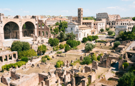
Summer School “Preventive archaeology and proximity remote sensing”
Diego Mazzocchini2024-08-28T10:16:47+02:00A Summer School to train professionals in the archaeological sector and cultural heritage on the use of new technologies to be applied to the enhancement of the Italian historical and cultural heritage.
