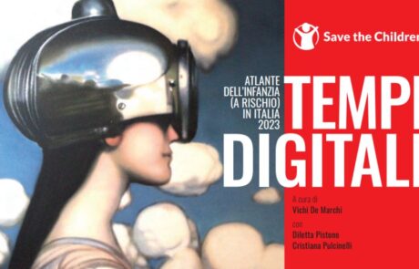
This edition of the Atlas focuses on the state of digitization in Italy among minors.
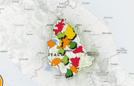
Urban Ecosystem: the map of Umbria’s greenest cities
Diego Mazzocchini2026-03-10T11:46:34+01:00The challenge for the sustainability of the top 15 [...]
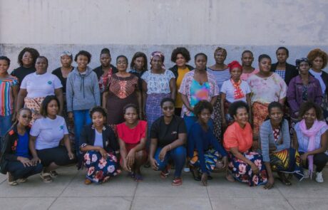
A Monitoring Information System for the “RIGENERA” project in Maputo, Mozambique
Mari Minascurta2026-03-10T11:51:54+01:00Digital and interactive mapping monitoring system to track field activities for the “Rigenera” project in Mozambique
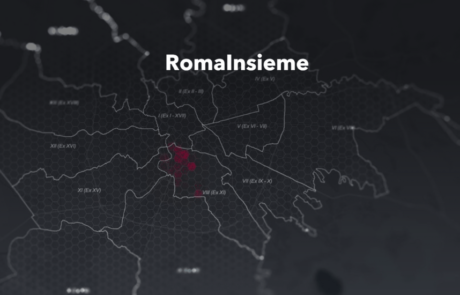
Monitoring poverty and inequality: the benefits of digital tools
Teamdev srl2026-03-10T12:04:03+01:00The StoryMap developed for the Litmus project chronicles the intervention to combat educational failure and school dropout in Rome's municipalities V, VI and VII

Atlas of Childhood (at risk) – 2022 Edition
Diego Mazzocchini2026-03-10T12:10:39+01:00The Atlas of Childhood 2022 provides a view of the conditions of childhood in Italy.
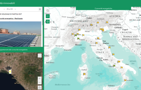
Legambiente Energy Communities
Diego Mazzocchini2026-03-10T12:14:31+01:00gisAction developed an application that allows the participatory mapping of the data of the Energy Communities in Italy.
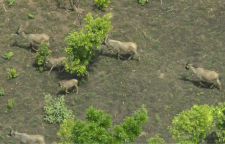
WisePark: Conservation of Comoé National Park
Diego Mazzocchini2026-03-10T12:18:00+01:00gisAction solution for the conservation project of Comoé National Park, in Côte d'Ivoire.
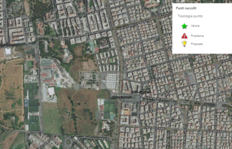
The census of the Somaini park – Arafat of Rome
Diego Mazzocchini2026-03-10T12:20:48+01:00gisAction has designed a workflow to support field census activities based on GIS tools.
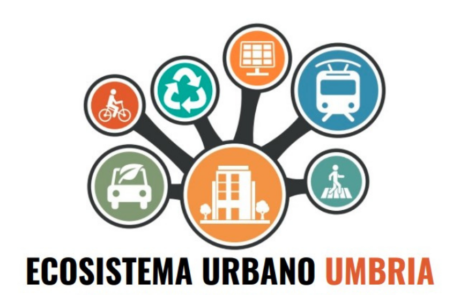
Innovating with data: the web app for Ecosistema Urbano
Diego Mazzocchini2026-03-10T12:29:08+01:00Development of a web app to visualize the data of the Ecosistema Urbano report of Legambiente Umbria
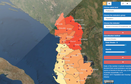
GIS to innovate Albania Census
Mari Minascurta2026-03-10T12:34:34+01:00The National Institute of Statistics of Albania (INSTAT) has introduced GIS technology into its population and housing census program with the support of gisAction
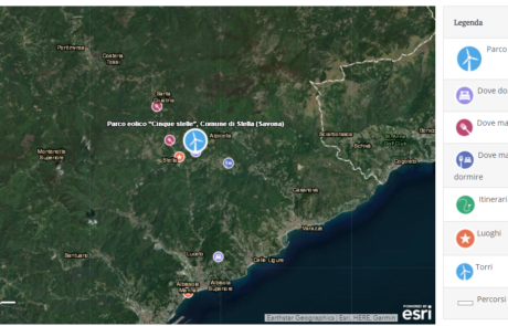
Wind Parks: a map of Wind Parks in Italy and around the world
Diego Mazzocchini2026-03-10T12:37:17+01:00The “Wind Parks” website is the world’s first guide to wind tourism
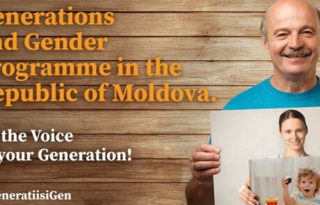
Geospatial technologies for the Generations and Gender Survey of Moldova
Diego Mazzocchini2026-06-11T11:56:06+02:00gisAction supporting the path of technological innovation of the statistical system of the Republic of Moldova