Discover the projects carried out by gisAction in the fields of international cooperation, territorial management, environment, and digital transformation of Sustainable Development actors. Our solutions based on GIS and Web GIS technologies, tools for collecting geolocated data, and for graphical and cartographic visualization of geographic Open Data, support NGOs, public authorities, and global institutions.
Explore the success stories that demonstrate how geospatial intelligence can improve planning, communication, and resource management.
Projects
- All
- GIS & mapping
- GIS for Climate Change & Disaster Risk Reduction
- GIS for Conservation
- GIS for Cultural Heritage
- Gis for Data Value Chain
- GIS for International Cooperation & MEAALS
- GIS for National Statistics
- GIS for Urban Regeneration
- Innover dans les flux de travail
- Mapping et SIG
- Measuring results
- Services
- Solutions
- Storytelling and Advocacy
- Workflow innovation
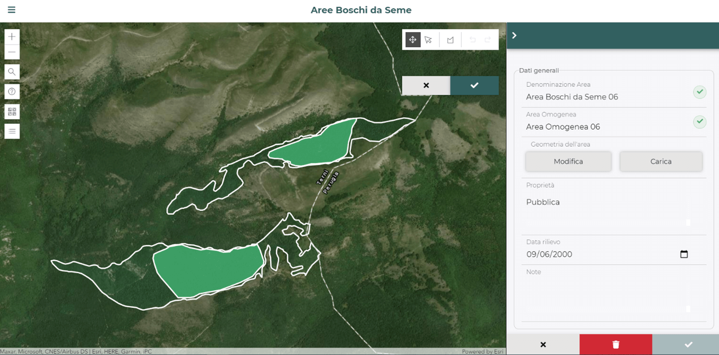
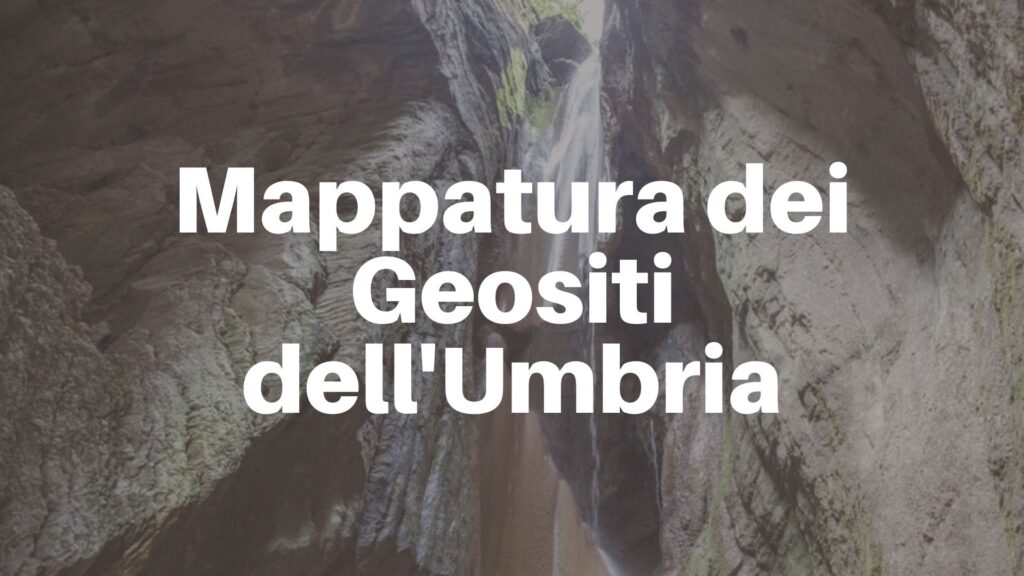
Platform for the conservation and valorization of forest genetic resources
Technological platform to support the monitoring and the actions of safeguard and enhancement of forest genetic resources of Umbria Region.
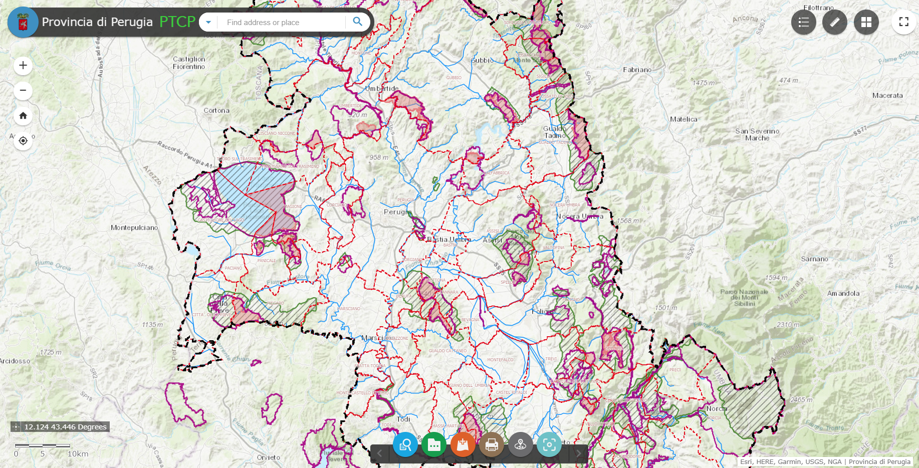
Platform for data sharing, visualization and collaboration built for the Province of Perugia
Geographical data sharing system and tools for the visualization of PTCP (Provincial Coordination Territorial Plan) datasets.
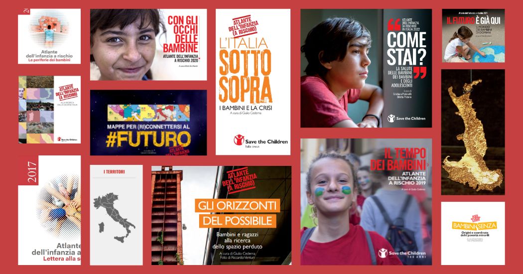
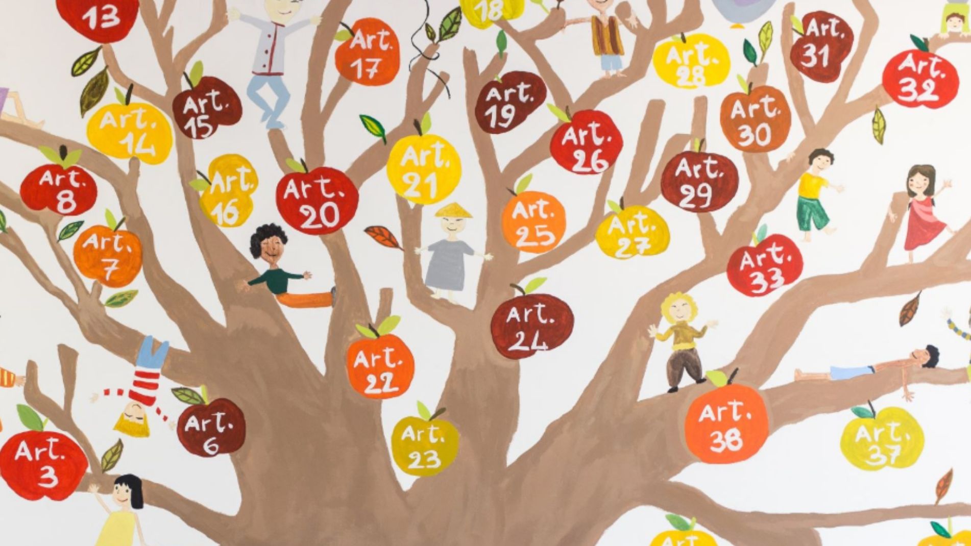
Save the Children Atlas of Childhood at Risk: data, analysis and geographies of Italian childhood
gisAction has been supporting Save the Children in this project since the 2011 edition of the Atlas and the main tool it uses is the GIS.
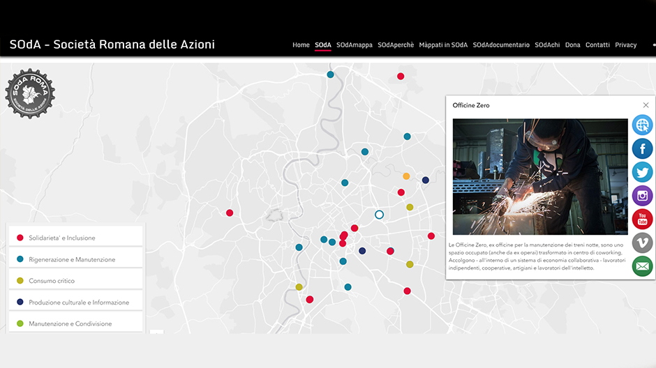
SOdA – Crowdsourcing application to create and update a collaborative map
SOdA was conceived as a free and collaborative map of initiatives, arriving from citizens, that take care of the well-being of the city and the people.

Map of the filmography on immigration in Italy
A StoryMap that offers an overview of over two hundred film titles shot throughout Italy starting from the early nineties
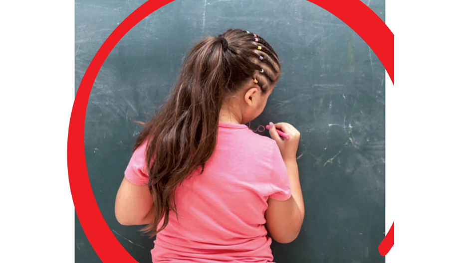
The economic impact of the Coronavirus on educational poverty
GIS to identify the italian provinces where the economic impact on minors, teenagers and their families have been more significant, due to the pandemic and the forced closure of productive activities.

The Landscapes of Antonio Cederna
A StoryMap to collect and make available documents, texts and work materials of one of the most important Italian scientists of the second half of the twentieth century, Antonio Cederna
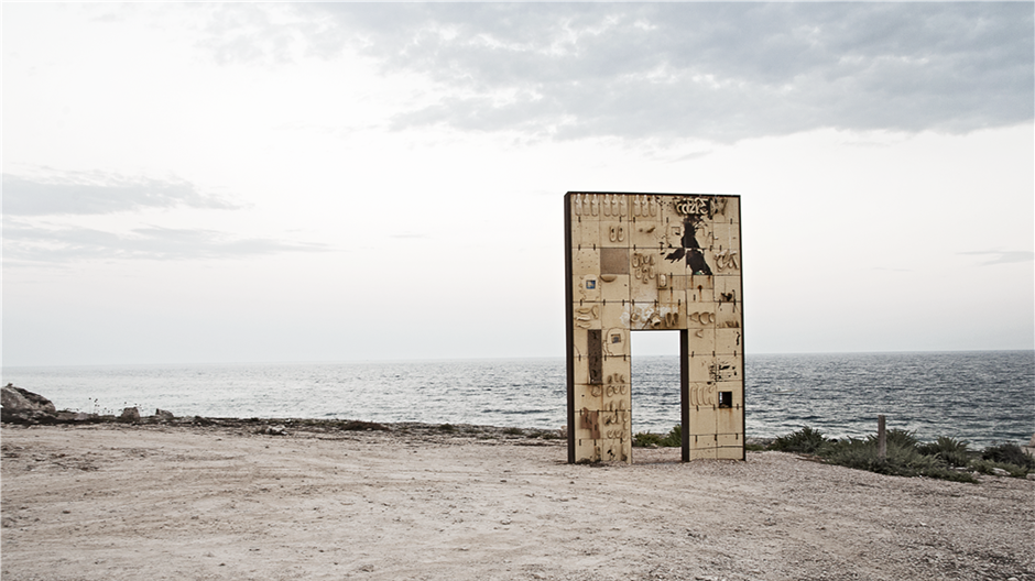
“Way back to Lampedusa” – the migration story of Mahamed Aman
Use StoryMap to maintain the authenticity of migrants’ stories
Storymap “Outstanding in motion” for Save the Children Italia
StoryMap “Outstanding in motion” for Save the Children Italia
Who We Have Worked With