Discover the projects carried out by gisAction in the fields of international cooperation, territorial management, environment, and digital transformation of Sustainable Development actors. Our solutions based on GIS and Web GIS technologies, tools for collecting geolocated data, and for graphical and cartographic visualization of geographic Open Data, support NGOs, public authorities, and global institutions.
Explore the success stories that demonstrate how geospatial intelligence can improve planning, communication, and resource management.
Projects
- All
- GIS & mapping
- GIS for Climate Change & Disaster Risk Reduction
- GIS for Conservation
- GIS for Cultural Heritage
- Gis for Data Value Chain
- GIS for International Cooperation & MEAALS
- GIS for National Statistics
- GIS for Urban Regeneration
- Innover dans les flux de travail
- Mapping et SIG
- Measuring results
- Services
- Solutions
- Storytelling and Advocacy
- Workflow innovation
GIS assistance for public entities
gisAction made available to public entities and NGO’s its staff’s experience in creation and maintenance of GIS systems.
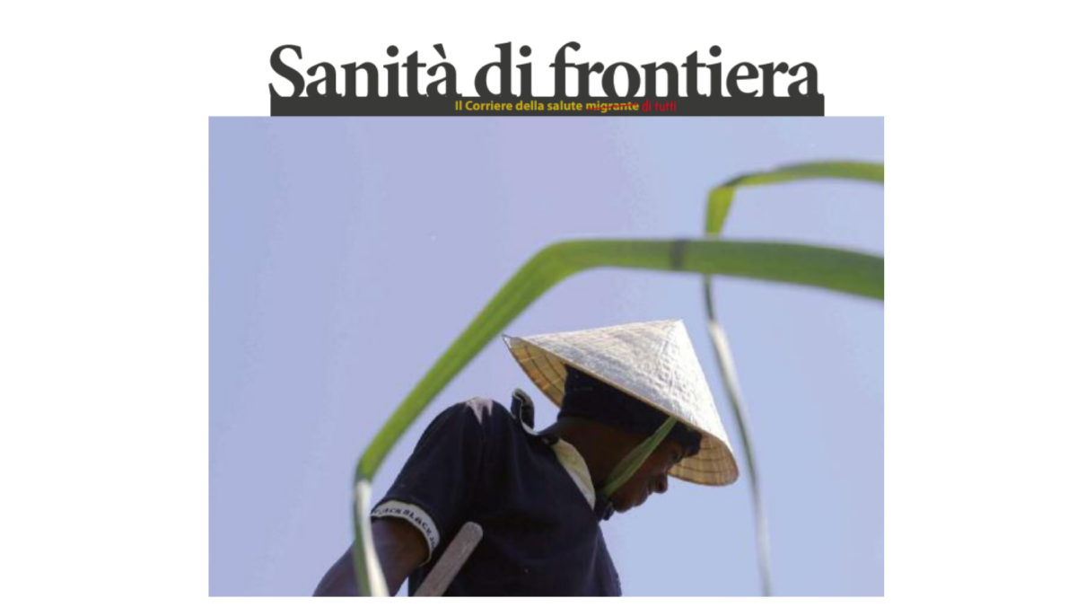
The Migrant Health Newspaper
Maps for a better understanding of the phenomena of migration from the health point of view.
GAL Media Valle del Tevere 2014-2020
A StoryMap as a tool for disseminating projects information aimed at promoting the local development of the area relating to the middle course of the Tiber River.
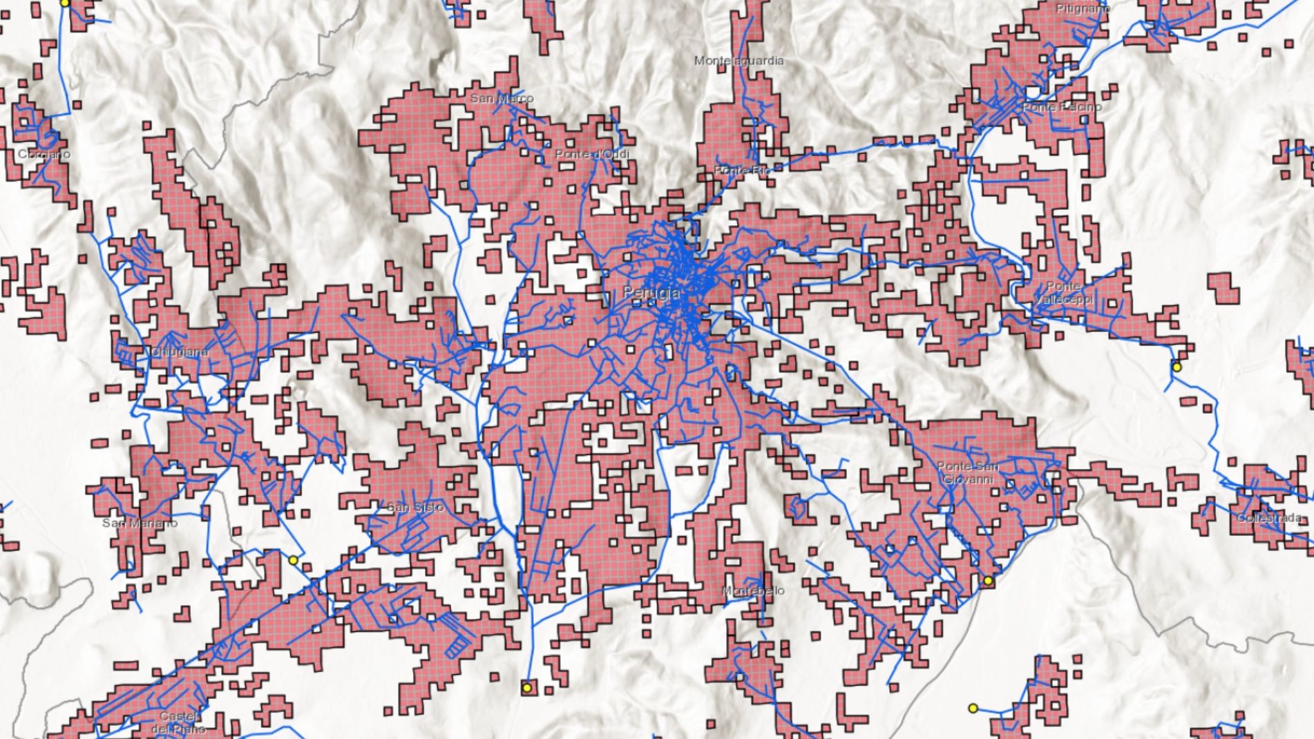
The update of the Project on the Sewage and Purifying System
Implementation of a geographic database containing all the information on the sewage and purification system, the discharges of productive activities and the pressures produced in the territory.

A landmark in the landscape – Atlas of monumental and remarkable fruit trees
gisAction proposed the Story map as a tool for disseminating information on the presence of significant and monumental fruit trees in Umbria.

The use of storymaps in journalism | Training course
Training course on the use of story maps in journalism that took place in Turin at the Circolo della Stampa

SaniMApp
Design and implementation of a multilingual storymap for the dissemination of information on border healthcare

National Climate City Observatory
Realization of Web GIS app and website to Legambiente Onlus
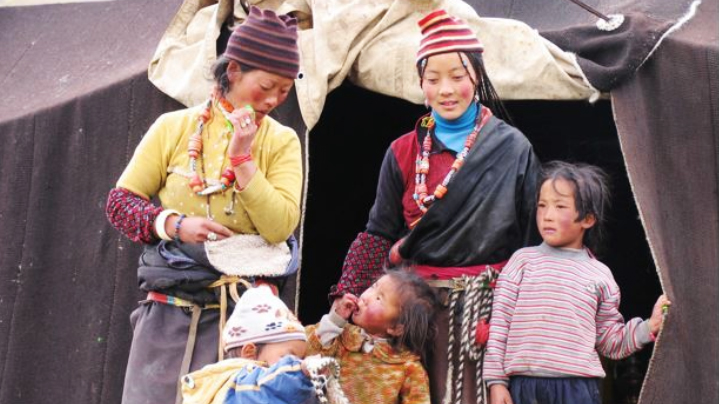
30 years in Asia
Co-participated design of the Storymap realized by gisAction and ASIA NGO, and geo referencing the of target locations where ASIA carried out its activities
Who We Have Worked With