gisAction has been supporting Save the Children in this project since the 2011 edition of the Atlas and the main tool it uses is the GIS.
gisAction has been supporting Save the Children in this project since the 2011 edition of the Atlas and the main tool it uses is the GIS.
A StoryMap that offers an overview of over two hundred film titles shot throughout Italy starting from the early nineties
GIS to identify the italian provinces where the economic impact on minors, teenagers and their families have been more significant, due to the pandemic and the forced closure of productive activities.
Use StoryMap to maintain the authenticity of migrants’ stories
gisAction made available to public entities and NGO’s its staff’s experience in creation and maintenance of GIS systems.
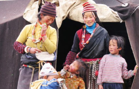
Maps for a better understanding of the phenomena of migration from the health point of view.
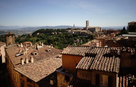
A StoryMap as a tool for disseminating projects information aimed at promoting the local development of the area relating to the middle course of the Tiber River.

Training course on the use of story maps in journalism that took place in Turin at the Circolo della Stampa
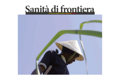
Design and implementation of a multilingual storymap for the dissemination of information on border healthcare
Co-participated design of the Storymap realized by gisAction and ASIA NGO, and geo referencing the of target locations where ASIA carried out its activities
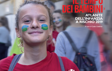
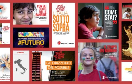
Atlas of Childhood and StoryMap: Save the Children's 2019 "Children's Time" edition provides an overview of the changes taking place in our country.
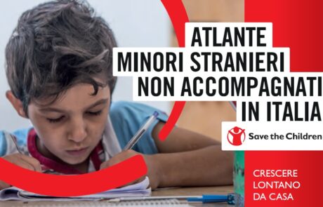
An Atlas dedicated to migrant minors who arrive alone in our country, on their way to integration.