gisAction supporting the path of technological innovation of the statistical system of the Republic of Moldova
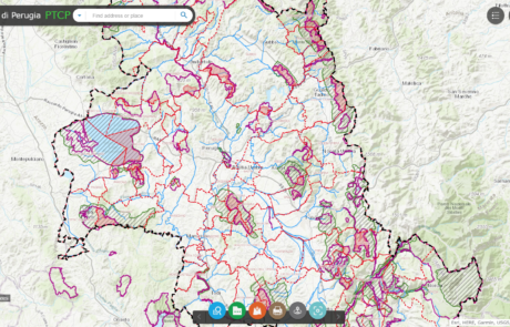
Platform for data sharing, visualization and collaboration built for the Province of Perugia
Diego Mazzocchini2026-03-10T12:49:57+01:00Geographical data sharing system and tools for the visualization of PTCP (Provincial Coordination Territorial Plan) datasets.

GIS assistance for public entities
Mari Minascurta2026-03-10T14:46:32+01:00gisAction made available to public entities and NGO’s its staff’s experience in creation and maintenance of GIS systems.
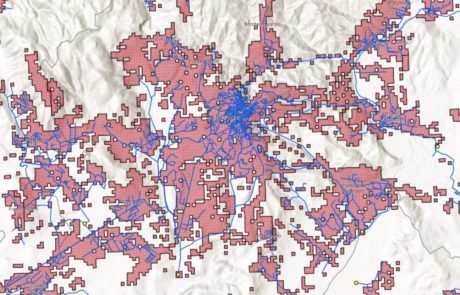
The update of the Project on the Sewage and Purifying System
Mari Minascurta2026-03-10T14:54:45+01:00Implementation of a geographic database containing all the information on the sewage and purification system, the discharges of productive activities and the pressures produced in the territory.

Hot Spot Analysis
Mari Minascurta2026-03-10T16:25:47+01:00Technical support and GIS analysis of spatial data for ARPA Umbria
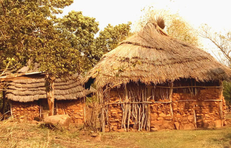
Monitoring Information System in eSwatini and Mozambique
Mari Minascurta2026-03-10T16:30:34+01:00gisAction solution to support the cooperation project is an innovative Monitoring and Evaluation system, the Monitoring Information System.