Discover the projects carried out by gisAction in the fields of international cooperation, territorial management, environment, and digital transformation of Sustainable Development actors. Our solutions based on GIS and Web GIS technologies, tools for collecting geolocated data, and for graphical and cartographic visualization of geographic Open Data, support NGOs, public authorities, and global institutions.
Explore the success stories that demonstrate how geospatial intelligence can improve planning, communication, and resource management.
Projects
- All
- GIS & mapping
- GIS for Climate Change & Disaster Risk Reduction
- GIS for Conservation
- GIS for Cultural Heritage
- Gis for Data Value Chain
- GIS for International Cooperation & MEAALS
- GIS for National Statistics
- GIS for Urban Regeneration
- Innover dans les flux de travail
- Mapping et SIG
- Measuring results
- Services
- Solutions
- Storytelling and Advocacy
- Workflow innovation

Hot Spot Analysis
Technical support and GIS analysis of spatial data for ARPA Umbria
Monitoring Information System in eSwatini and Mozambique
gisAction solution to support the cooperation project is an innovative Monitoring and Evaluation system, the Monitoring Information System.

Atlas of Childhood (at risk) – 2019 Edition
Atlas of Childhood and StoryMap: Save the Children's 2019 "Children's Time" edition provides an overview of the changes taking place in our country.
Atlas of Unaccompanied Foreign Minors in Italy
An Atlas dedicated to migrant minors who arrive alone in our country, on their way to integration.
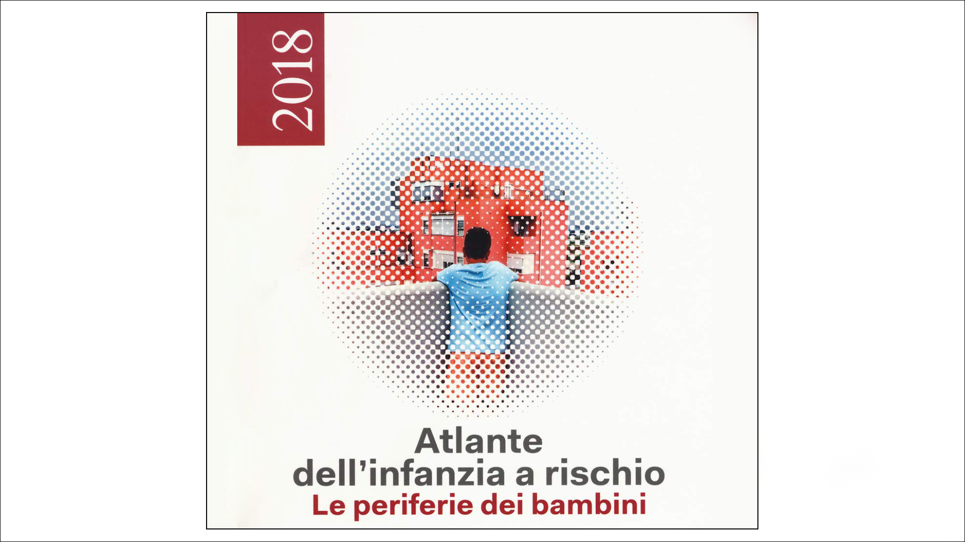
Atlas of Childhood (at risk) – 2018 Edition
Atlas of Childhood and StoryMap: Save the Children's 2018 edition "Children's Peripheries" travels the suburbs of Italy to describe the difficulties of the children who live there.
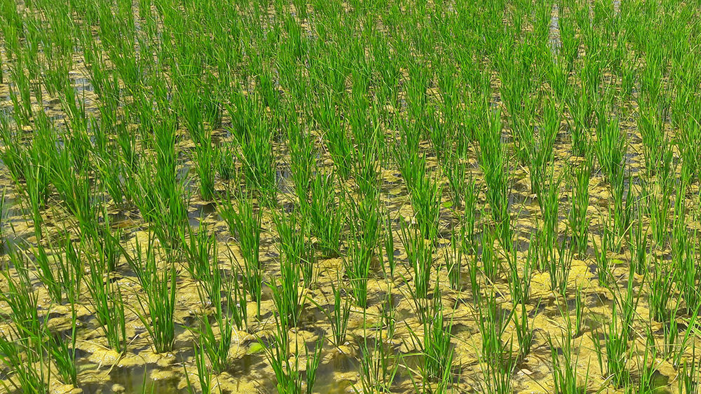
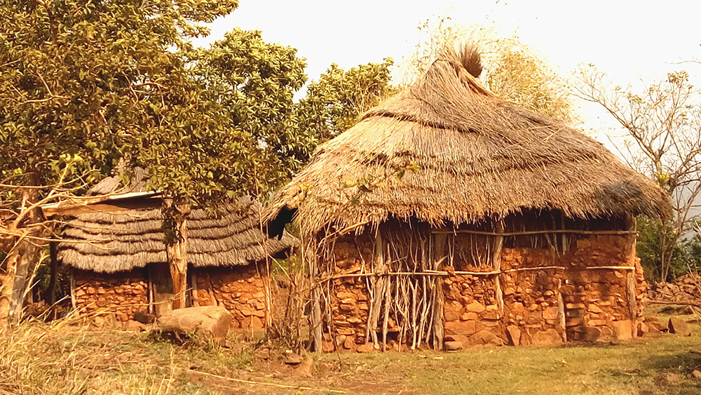
Agricultural monitoring based on GIS and Remote sensing
Lux Development created a Cooperation Programme with the aim to support the Government of Mali in its efforts to reduce poverty and food insecurity. For this purpose, Lux Dev involved GisAction to carry out a feasibility study focused on the development of the geographic-based information system for agronomic monitoring and rice yield estimation.

GIS consulting for the census in Albania
In 2011 the census of Albanian population was the first large statistical operation conducted in the country, with an extensive use of geospatial tools in all the phases: pre-enumeration, enumeration, and post-enumeration.
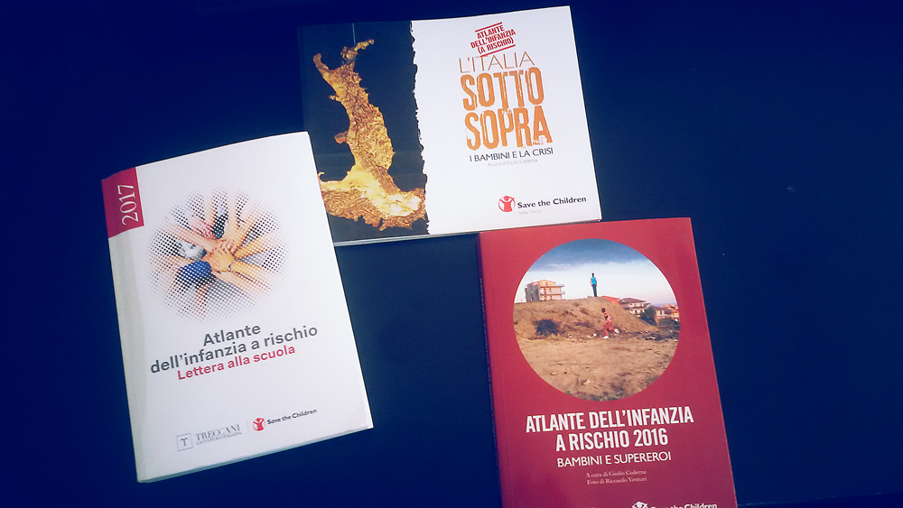
Atlas of Childhood at Risk, Save the Children Italia
Maps, graphs and infographics for Save the Children Italy. All data and maps collected were organized as open data and made available to all.
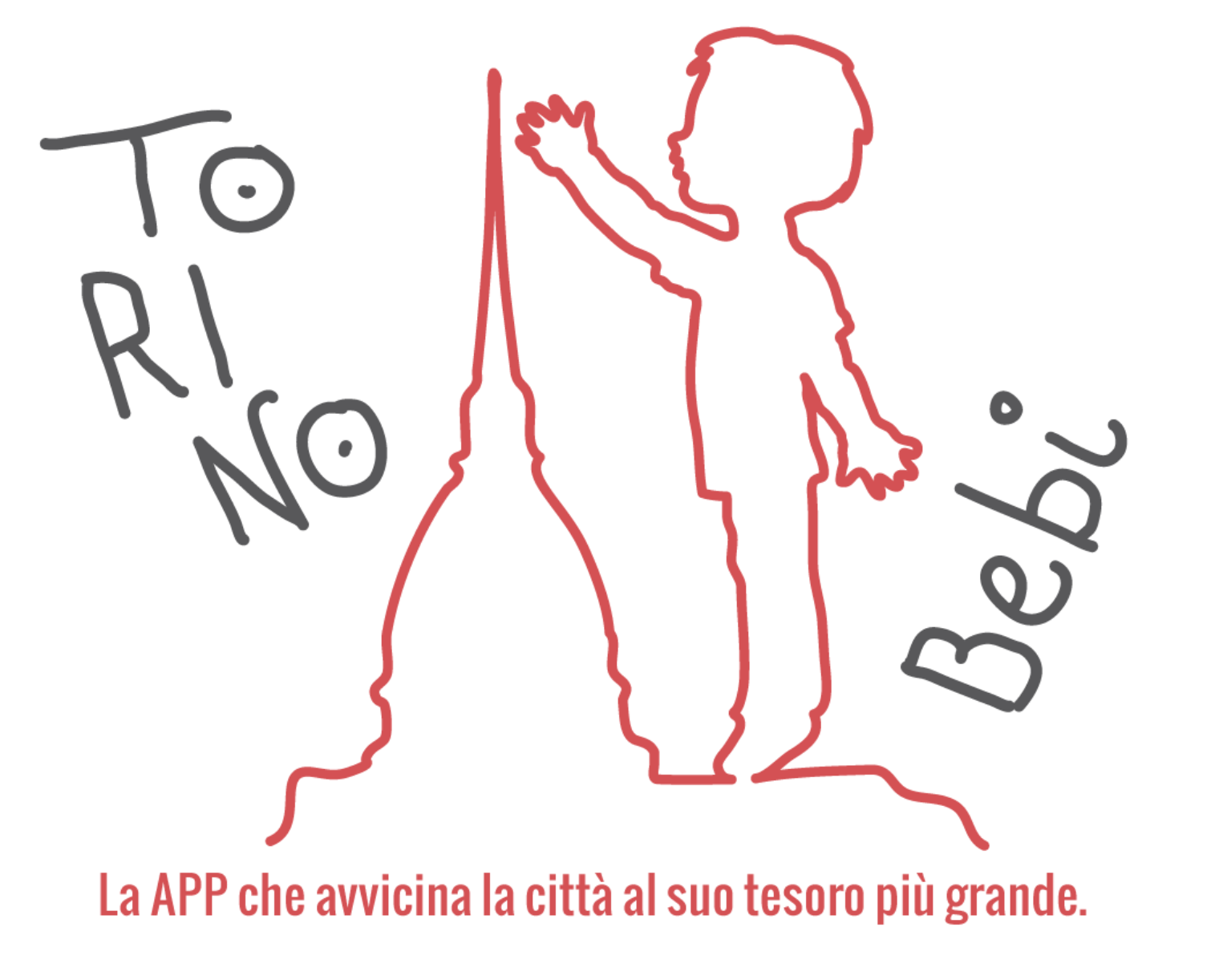
Torino BeBi: an app for childhood
Torino BeBi is an application, inspired by Save [...]
Who We Have Worked With