
Supporting Operational Activities and Decision-Making Through GIS GIS [...]
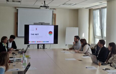
“THE Net” Project: How Health Intelligence Supports Women’s Health in Malawi
Dina Berjawi2026-06-17T11:05:21+02:00Modern international cooperation increasingly relies on infrastructure, organization, and, [...]
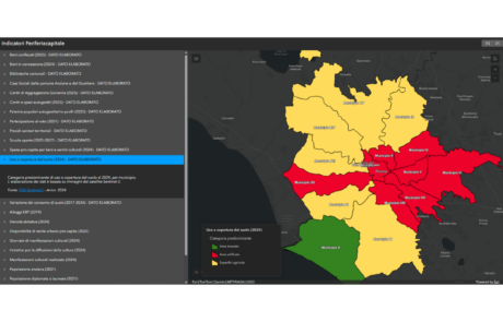
Social Mapping and GIS for Local Organizations in Rome
Dina Berjawi2026-10-20T09:42:45+02:00Social mapping is increasingly being used to understand the [...]
Geospatial technologies for the Generations and Gender Survey of Moldova
Diego Mazzocchini2026-06-11T11:56:06+02:00gisAction supporting the path of technological innovation of the statistical system of the Republic of Moldova
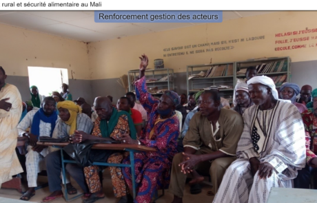
StoryMap for Rural development and Food Security in Mali
Diego Mazzocchini2026-10-13T11:28:30+02:00gisAction has been involved in the MLI/021 project by designing and implementing a StoryMap to support the initiative of rural development and food security in Mali.

Hot Spot Analysis
Mari Minascurta2026-10-21T15:55:54+02:00Technical support and GIS analysis of spatial data for ARPA Umbria