
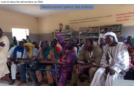
gisAction has been involved in the MLI/021 project by designing and implementing a StoryMap to support the initiative of rural development and food security in Mali.
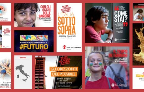
Save the Children Atlas of Childhood at Risk: data, analysis and geographies of Italian childhood
Mari Minascurta2024-09-04T12:38:04+02:00gisAction has been supporting Save the Children in this project since the 2011 edition of the Atlas and the main tool it uses is the GIS.
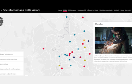
SOdA – Crowdsourcing application to create and update a collaborative map
Mari Minascurta2026-03-10T12:52:20+01:00SOdA was conceived as a free and collaborative map of initiatives, arriving from citizens, that take care of the well-being of the city and the people.

Map of the filmography on immigration in Italy
Mari Minascurta2026-03-10T12:54:31+01:00A StoryMap that offers an overview of over two hundred film titles shot throughout Italy starting from the early nineties
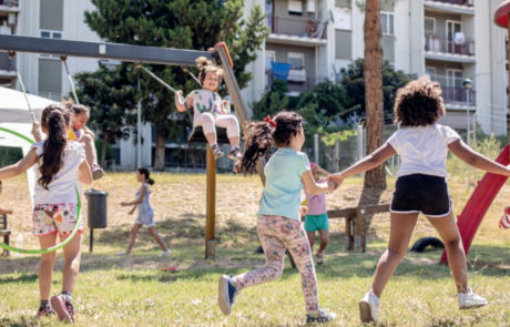
Protected: The Tenth Edition of the ‘Atlas of the Childhood at Risk
Mari Minascurta2020-06-29T14:54:25+02:00There is no excerpt because this is a protected post.

The economic impact of the Coronavirus on educational poverty
Mari Minascurta2026-03-10T14:36:28+01:00GIS to identify the italian provinces where the economic impact on minors, teenagers and their families have been more significant, due to the pandemic and the forced closure of productive activities.

The Landscapes of Antonio Cederna
Mari Minascurta2026-03-10T14:39:07+01:00A StoryMap to collect and make available documents, texts and work materials of one of the most important Italian scientists of the second half of the twentieth century, Antonio Cederna
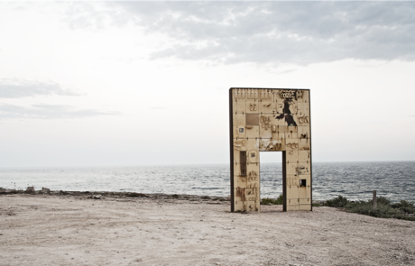
“Way back to Lampedusa” – the migration story of Mahamed Aman
Mari Minascurta2026-03-10T14:41:40+01:00Use StoryMap to maintain the authenticity of migrants’ stories
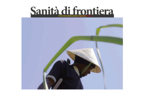
The Migrant Health Newspaper
Mari Minascurta2026-03-10T14:48:20+01:00Maps for a better understanding of the phenomena of migration from the health point of view.
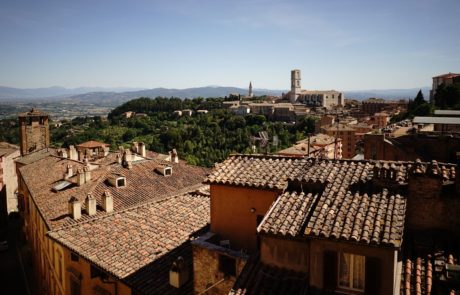
GAL Media Valle del Tevere 2014-2020
Mari Minascurta2026-03-10T14:52:20+01:00A StoryMap as a tool for disseminating projects information aimed at promoting the local development of the area relating to the middle course of the Tiber River.

A landmark in the landscape – Atlas of monumental and remarkable fruit trees
Mari Minascurta2026-03-10T14:58:04+01:00gisAction proposed the Story map as a tool for disseminating information on the presence of significant and monumental fruit trees in Umbria.

SaniMApp
Mari Minascurta2026-03-10T16:12:34+01:00Design and implementation of a multilingual storymap for the dissemination of information on border healthcare