Discover the projects carried out by gisAction in the fields of international cooperation, territorial management, environment, and digital transformation of Sustainable Development actors. Our solutions based on GIS and Web GIS technologies, tools for collecting geolocated data, and for graphical and cartographic visualization of geographic Open Data, support NGOs, public authorities, and global institutions.
Explore the success stories that demonstrate how geospatial intelligence can improve planning, communication, and resource management.
Projects
- All
- GIS & mapping
- GIS for Climate Change & Disaster Risk Reduction
- GIS for Conservation
- GIS for Cultural Heritage
- Gis for Data Value Chain
- GIS for International Cooperation & MEAALS
- GIS for National Statistics
- GIS for Urban Regeneration
- Innover dans les flux de travail
- Mapping et SIG
- Measuring results
- Services
- Solutions
- Storytelling and Advocacy
- Workflow innovation
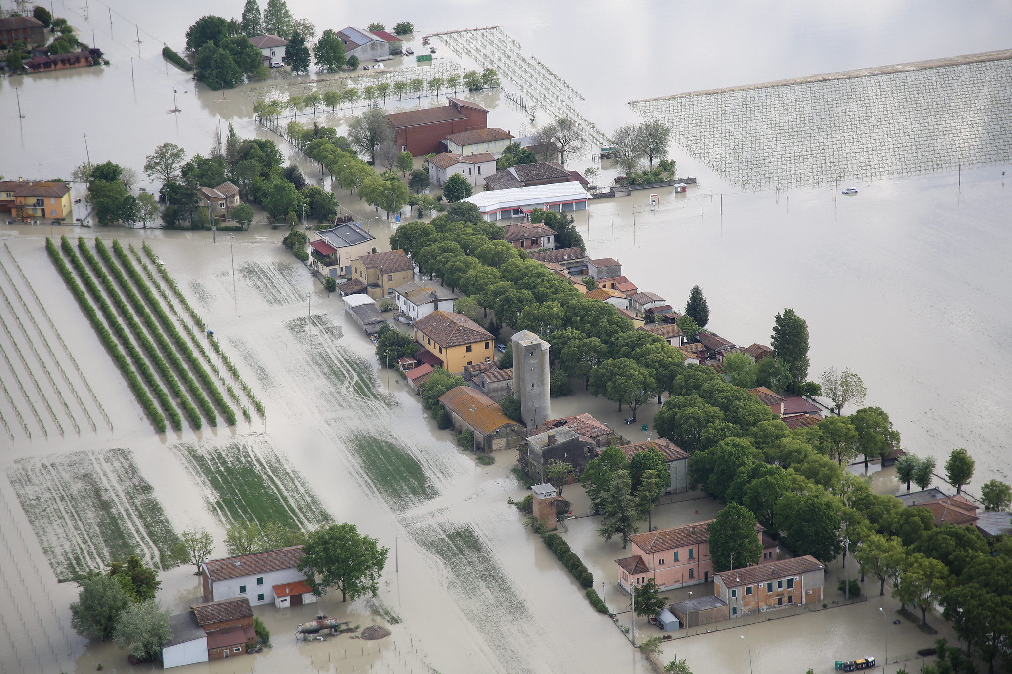
Ravenna’s Climate Told in a StoryMap
How Ravenna Turned Climate Awareness into Community Action – [...]
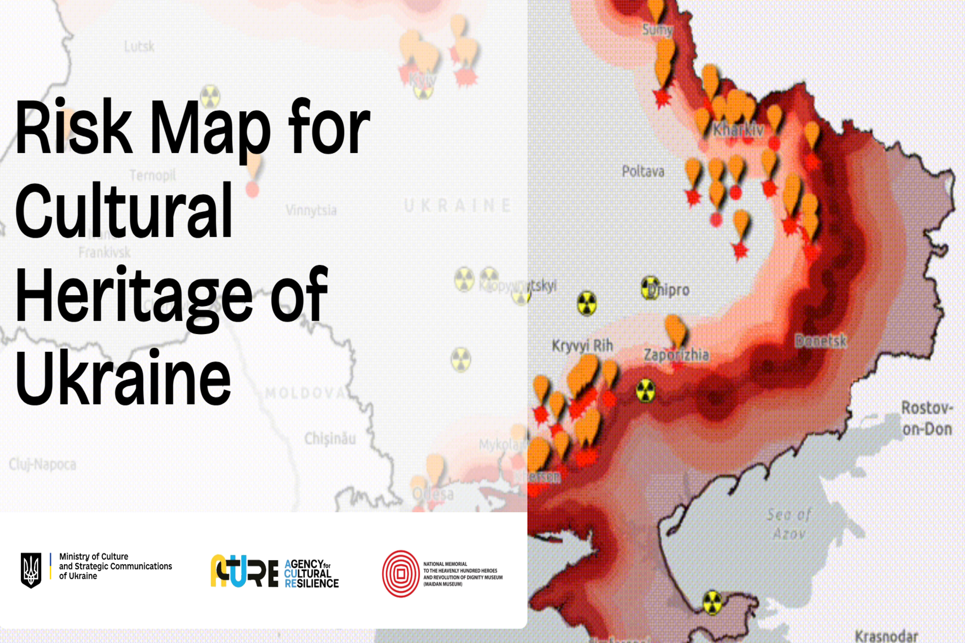
Risk Map for Ukraine Cultural Heritage: Data-Based Protection and Preservation
Risk Map for Ukraine cultural heritage: A data-driven approach [...]
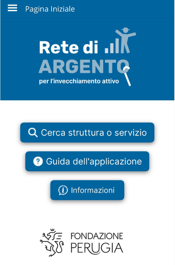
Empowerment for the Elderly with Innovation
Technology and Innovation for a More Inclusive Community [...]
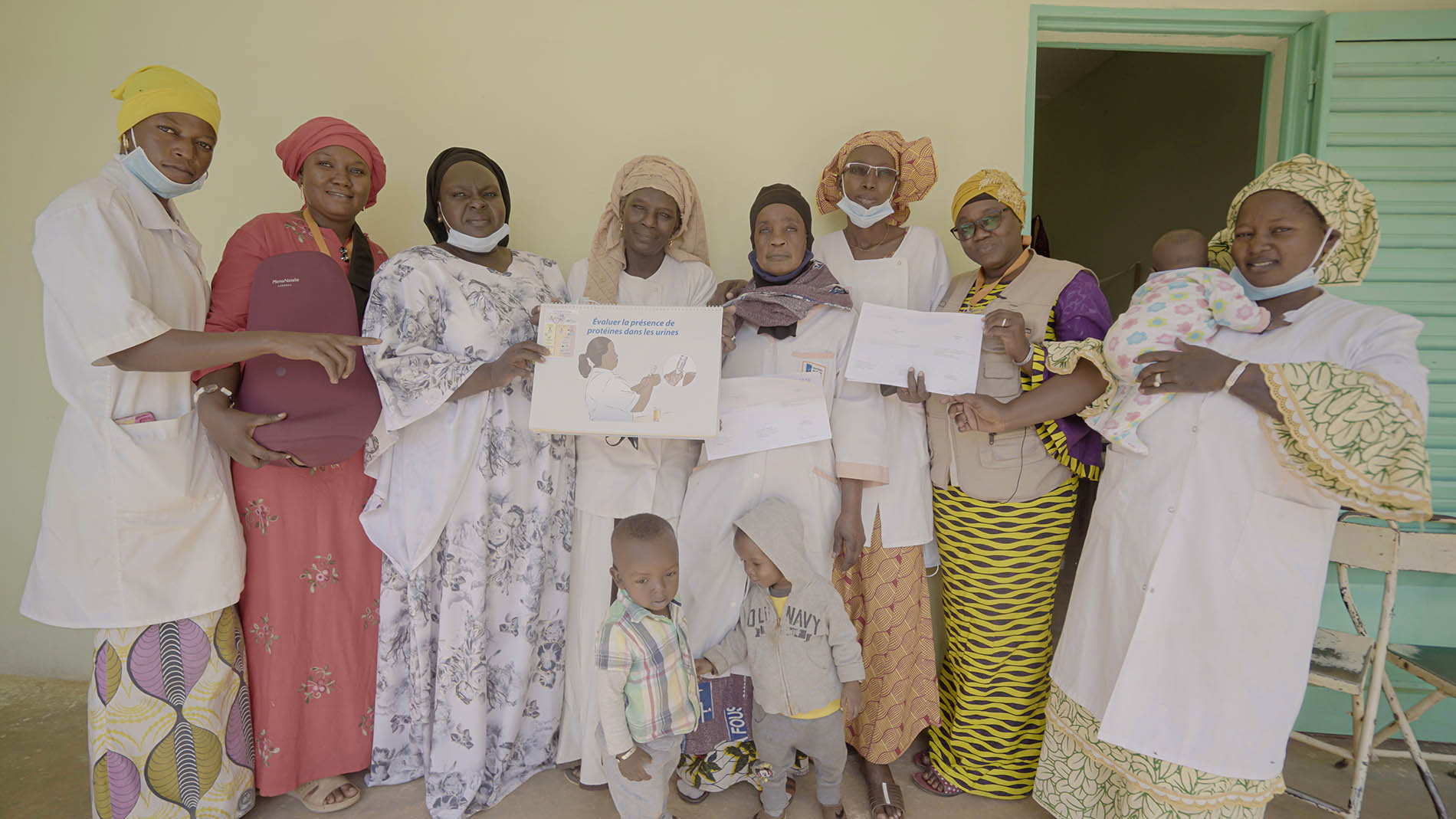
Terre des hommes in Mali: Improving Maternal and Newborn Health
Terre des Hommes & gisAction’s StoryMap Initiative for healthcare [...]
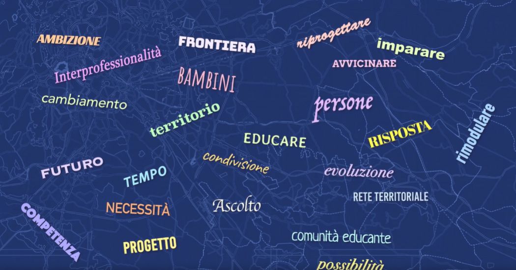
Tornasole: storytelling for educational communities
The StoryMap developed for the Tornasole project tells the story of the intervention aimed at combating educational failure and school dropout in the V, VI, and VII districts of Rome

Mapping Social Issues: The Role of GIS in Mazzini School’s Homelessness Project
The recent collaboration between the Giuseppe Mazzini Middle [...]
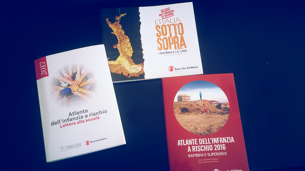
Atlas of Childhood at Risk, Save the Children Italia
Maps, graphs and infographics for Save the Children Italy. All data and maps collected were organized as open data and made available to all.
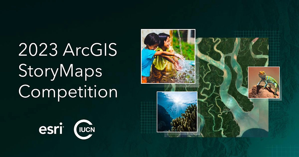
Exploring Conservation Stories: gisAction’s Journey into WWF Italia’s Oases in the 30×30 Challenge
gisAction in Esri ArcGis StoryMaps competition Esri [...]
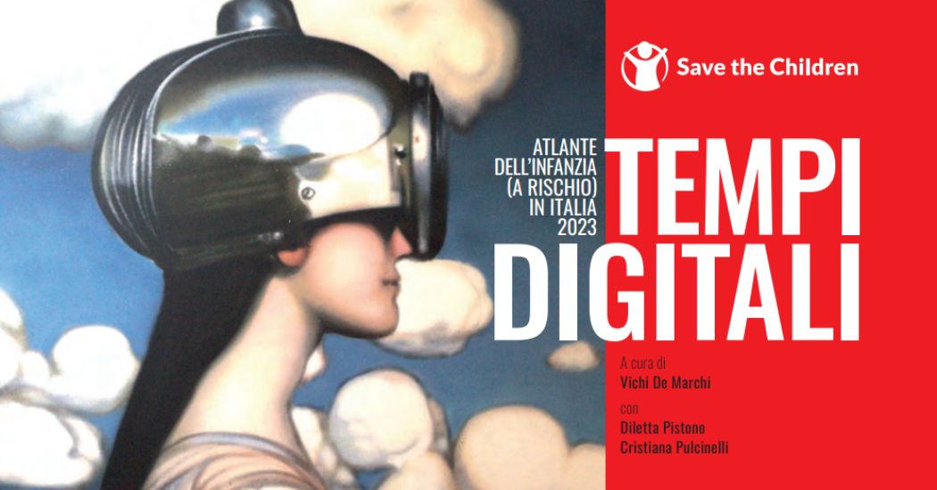
Atlas of Childhood (at risk) 2023 – Save the Children
This edition of the Atlas focuses on the state of digitization in Italy among minors.
Who We Have Worked With