Realization of Web GIS app and website to Legambiente Onlus
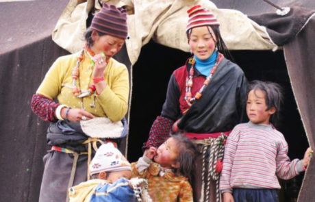
30 years in Asia
Mari Minascurta2026-03-10T16:21:40+01:00Co-participated design of the Storymap realized by gisAction and ASIA NGO, and geo referencing the of target locations where ASIA carried out its activities
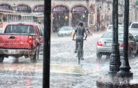
Monitoring Information System in eSwatini and Mozambique
Mari Minascurta2026-03-10T16:30:34+01:00gisAction solution to support the cooperation project is an innovative Monitoring and Evaluation system, the Monitoring Information System.
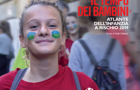
Atlas of Childhood (at risk) – 2019 Edition
Diego Mazzocchini2026-03-10T16:32:57+01:00Atlas of Childhood and StoryMap: Save the Children's 2019 "Children's Time" edition provides an overview of the changes taking place in our country.
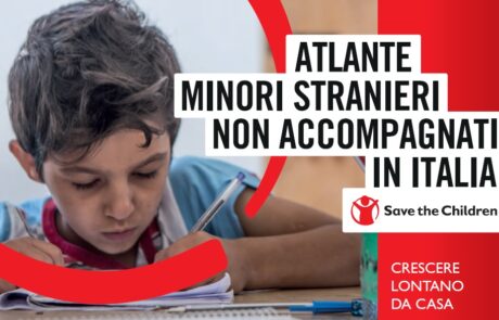
Atlas of Unaccompanied Foreign Minors in Italy
Diego Mazzocchini2026-03-10T16:35:11+01:00An Atlas dedicated to migrant minors who arrive alone in our country, on their way to integration.
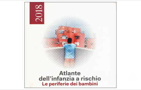
Atlas of Childhood (at risk) – 2018 Edition
Diego Mazzocchini2026-03-10T16:38:23+01:00Atlas of Childhood and StoryMap: Save the Children's 2018 edition "Children's Peripheries" travels the suburbs of Italy to describe the difficulties of the children who live there.
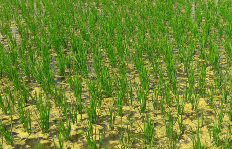
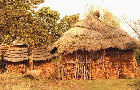
Agricultural monitoring based on GIS and Remote sensing
Mari Minascurta2026-03-10T16:40:44+01:00Lux Development created a Cooperation Programme with the aim to support the Government of Mali in its efforts to reduce poverty and food insecurity. For this purpose, Lux Dev involved GisAction to carry out a feasibility study focused on the development of the geographic-based information system for agronomic monitoring and rice yield estimation.

GIS consulting for the census in Albania
Mari Minascurta2026-03-10T16:43:00+01:00In 2011 the census of Albanian population was the first large statistical operation conducted in the country, with an extensive use of geospatial tools in all the phases: pre-enumeration, enumeration, and post-enumeration.
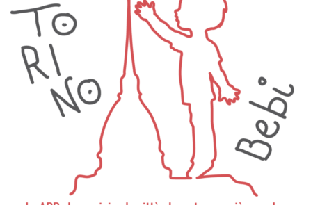
Torino BeBi: an app for childhood
Teamdev srl2026-03-10T16:47:29+01:00Torino BeBi is an application, inspired by Save [...]
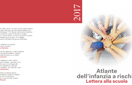
Atlas of Childhood (at risk) – 2017 Edition
Diego Mazzocchini2026-03-10T16:51:10+01:00Atlas of Childhood and StoryMap dedicated to school. Save the Children's 2017 "Letter to School" edition analyzes the conditions of children and adolescents at risk of exclusion.
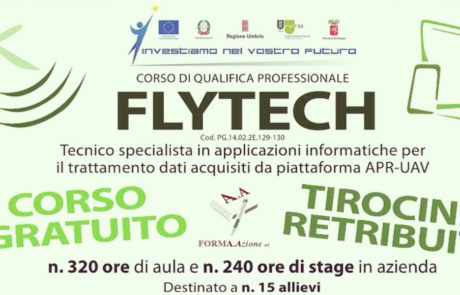
Flytech project: a professional qualification course
Diego Mazzocchini2026-03-10T16:53:18+01:00A training course with the participation of gisAction through training lessons on the use of GIS technology.

Summer School “Preventive archaeology and proximity remote sensing”
Diego Mazzocchini2026-03-10T16:55:12+01:00A Summer School to train professionals in the archaeological sector and cultural heritage on the use of new technologies to be applied to the enhancement of the Italian historical and cultural heritage.